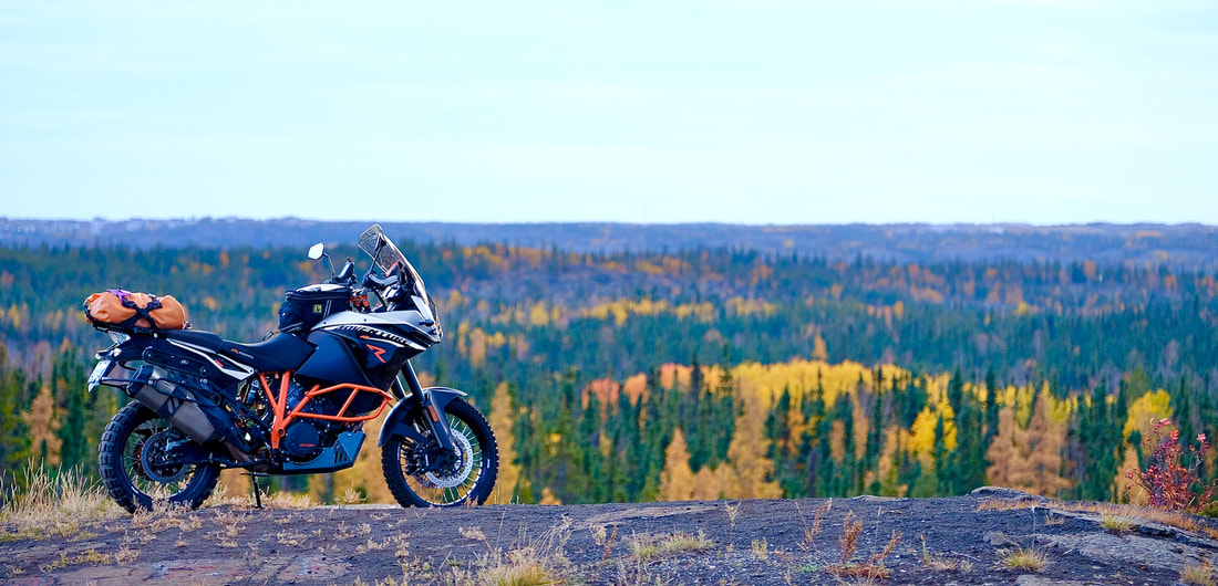
| Today's mission: Try to ride the new road to Whatì, NWT. (Yes, you heard right: "New road!") And, if we make it, and if it's Badger's lucky day, just maybe he can be the first motorbike ever to do it. The bike was prepared, the forecast was perfect, the fuel was planned, the firsthand road report was inconclusive... let's go! | 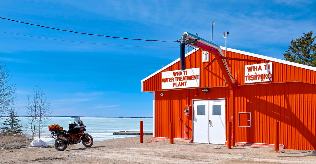 |
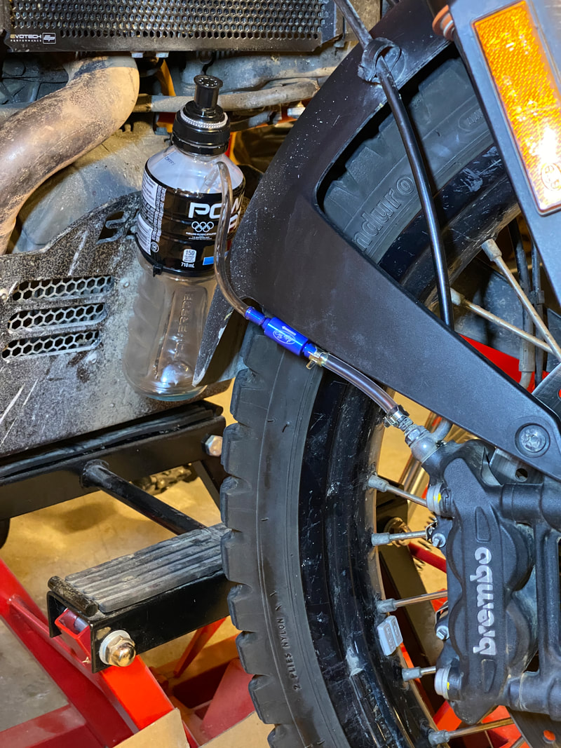
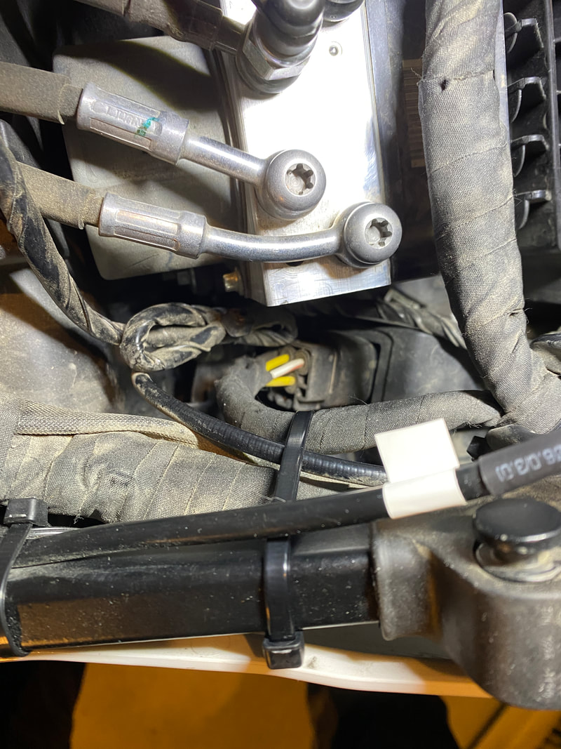
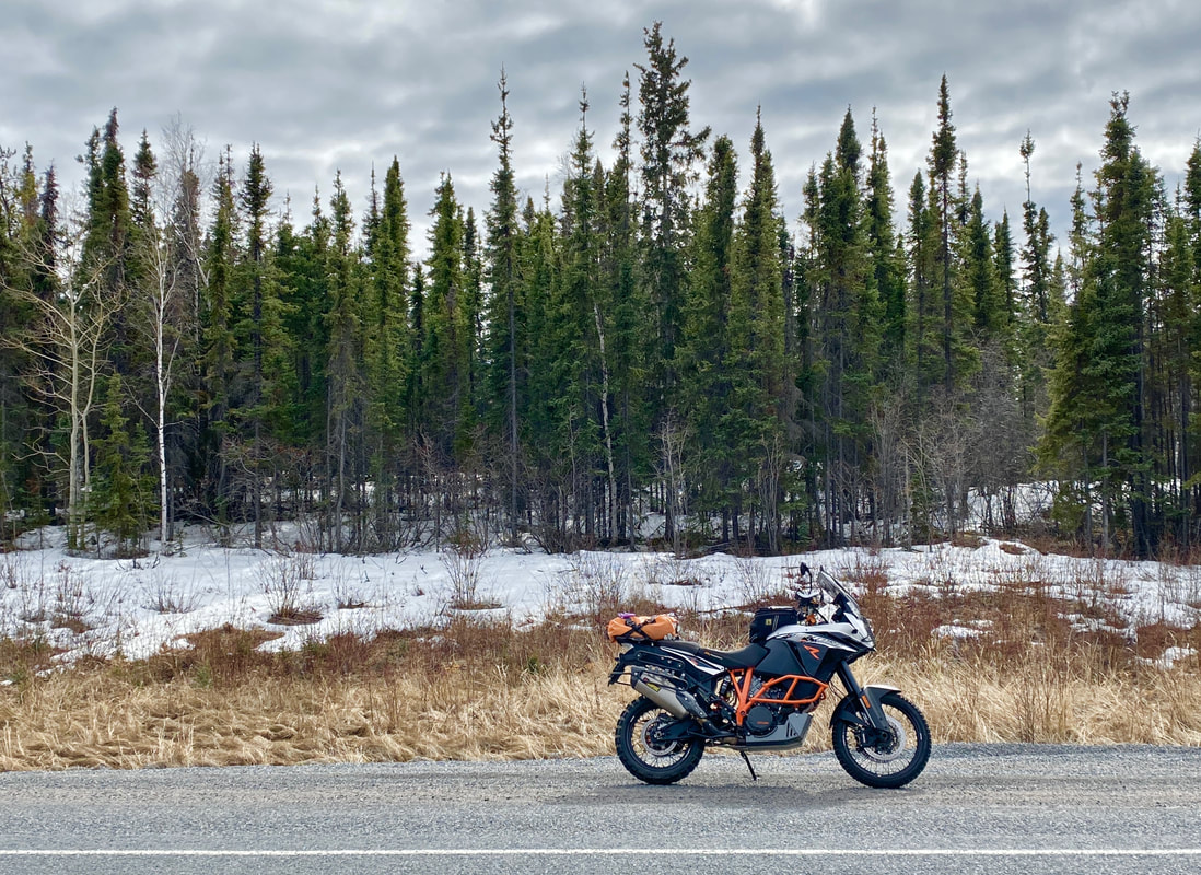
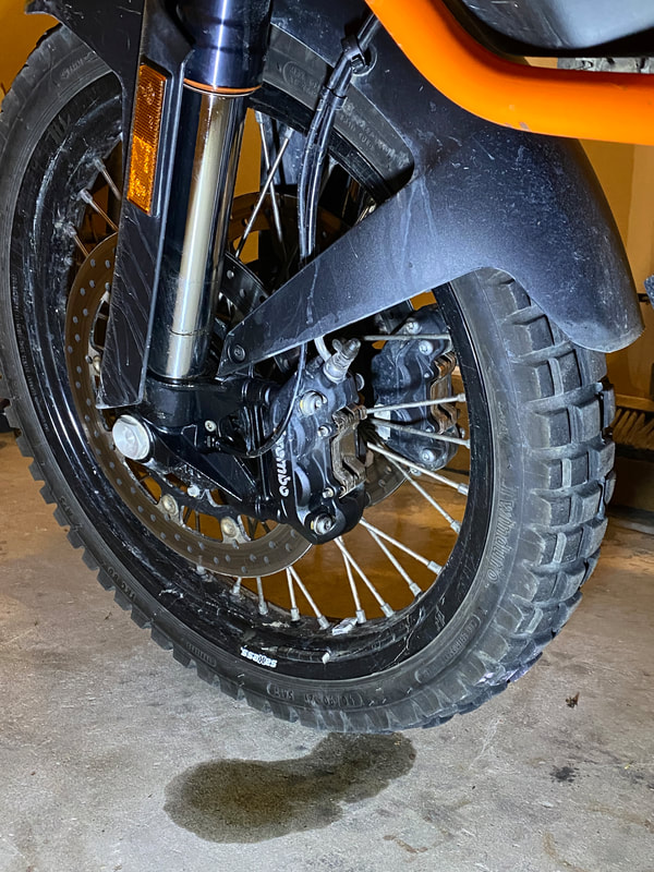
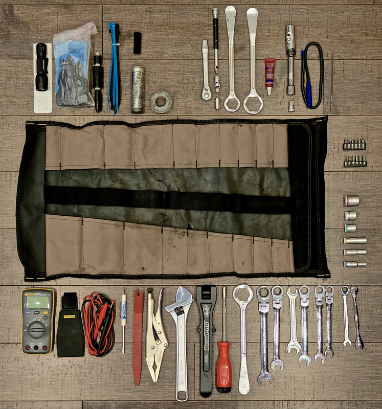
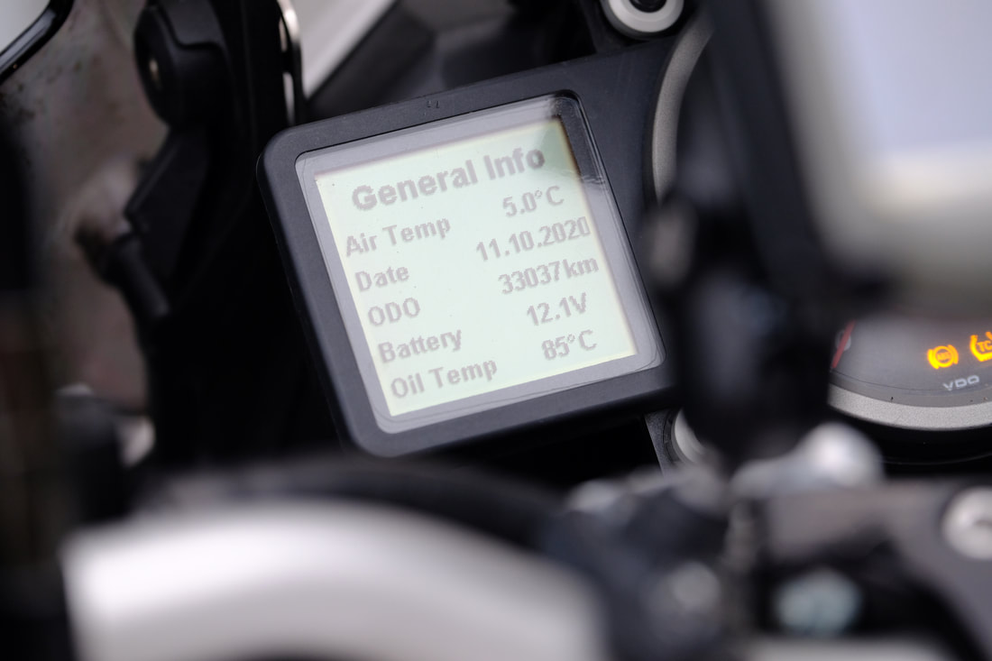
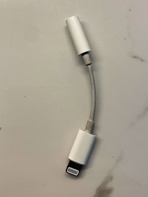
At 10:00 am, it had already warmed up to 10°C, which simplified my layering strategy and helped to minimize my load for the day. I wanted to leave the aluminum panniers at home and streamline my load for the daytrip, limited to my tankbag up front and usual bag of essentials on the tail. Two minor stumbles were encountered and quickly rectified -- spontaneous music interruption due to a flaky USB Lightning headphone adapter, and 4 psi extra pressure in my rear tire (has it really warmed up that much since my first ride?) -- and it was off to Behchokǫ̀ for gas.
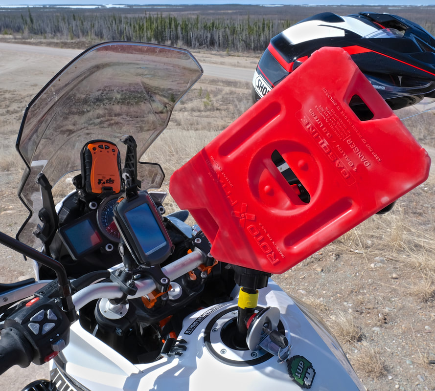
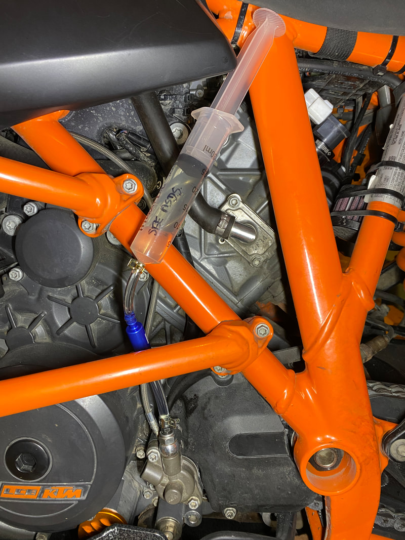
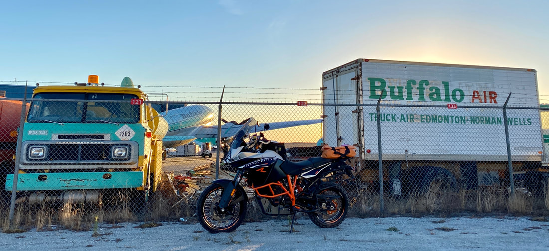
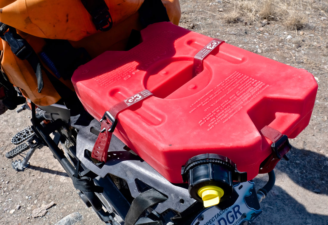
Fuel planning for the day dictated a 10 km diversion off the highway to top up Badger's tank in Behchokǫ̀ on our way out, and again on the way back to get home, as my pre-scouting phone call had determined that there is no gas available in Whatì on a weekend. The government-run fuel facility there is only open for sales to the public during selected hours, weekdays only, so I needed to be self-reliant. For only the second time in Badger's life, we carried extra fuel, today in the form of a 1-gallon Rotopax container strapped to his tail rack, which was a first-time configuration and marginally more convenient than the four 1 L fuel bottles I stashed in a pannier on the Dempster (and more secure than the mini Jerry can strapped to Kill'rs rear end on his fateful last day). So: 23 L tank plus 3.8 L extra would be enough to comfortably span the 340 km out-and-back from Behchokǫ̀ to Whatì, plus 2 x 5 L top-ups in Behchokǫ̀ to cover the 110 km slab to and from my Yellowknife point-of-origin. Maybe highway-associated tourism will one day influence the opening hours for fuel sales in Whatì, but for now -- plan accordingly. (For motorcyclists travelling up from the south, that would be a 445 km fuel leg from Fort Providence up to Whatì and onward to Behchokǫ̀, which is substantially more of a challenge.) As for Behchokǫ̀ on a weekend: Northmart gas station is open 9:00am to 8:15pm both Saturday and Sunday, and FC Services is open until 11:00pm both days (contrary to what Google Maps says). Both are prepay, so save yourself looking the fool and just go inside before trying to get the pump to start.
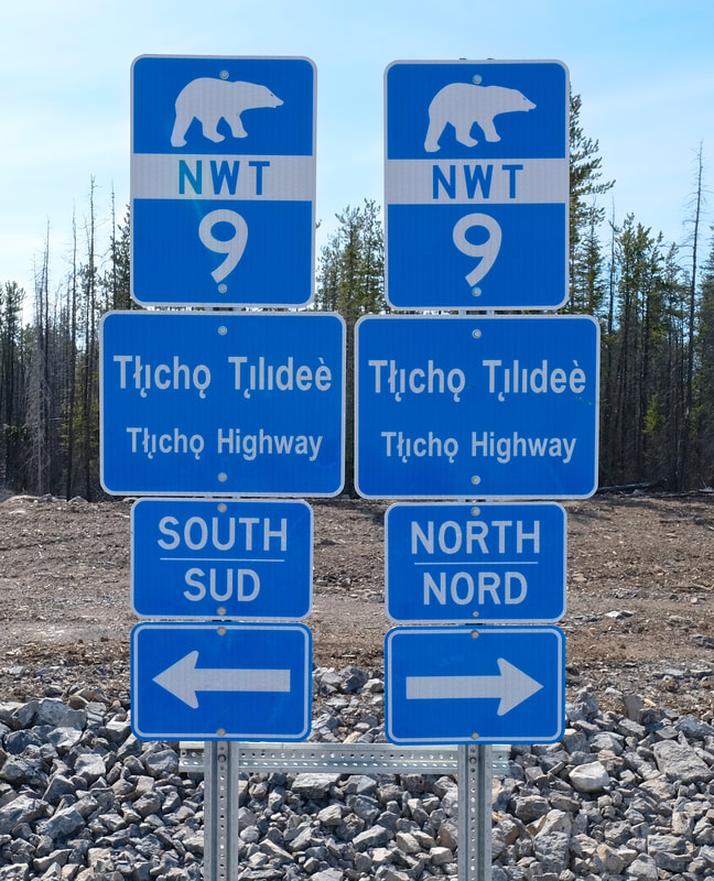
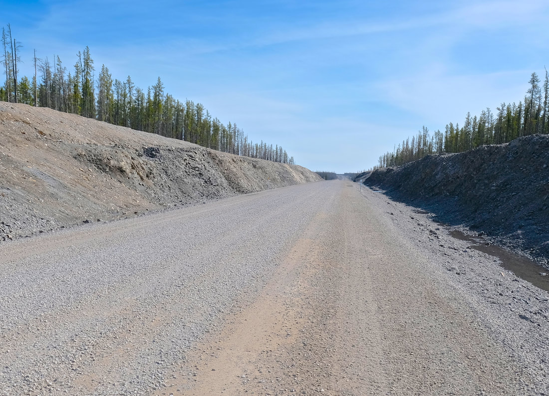
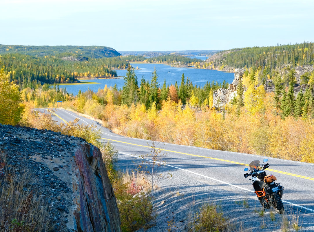
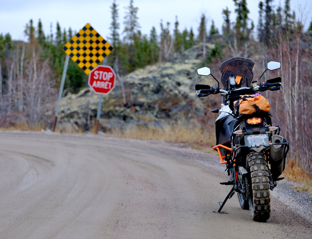
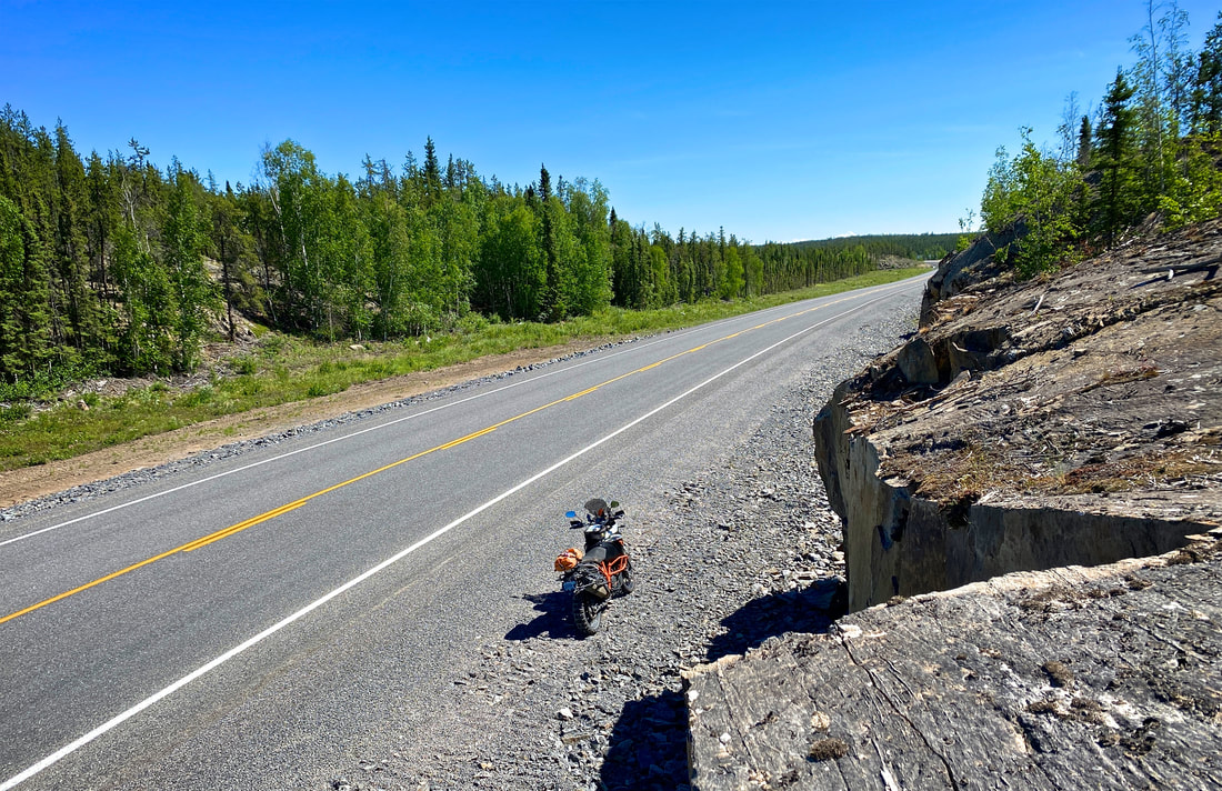
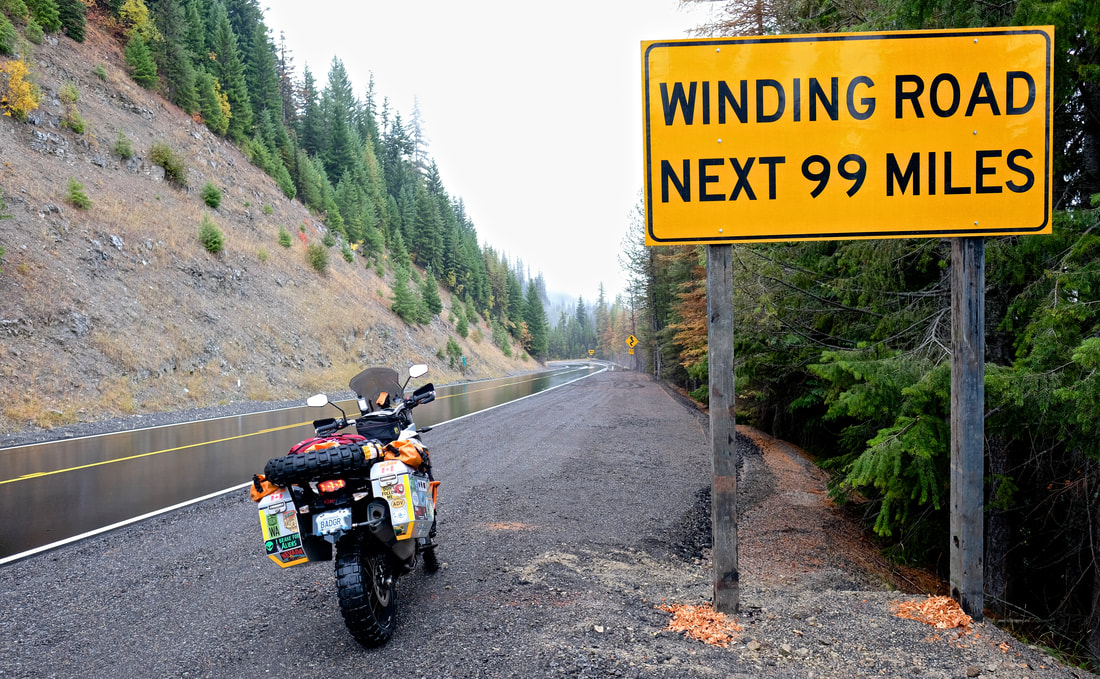
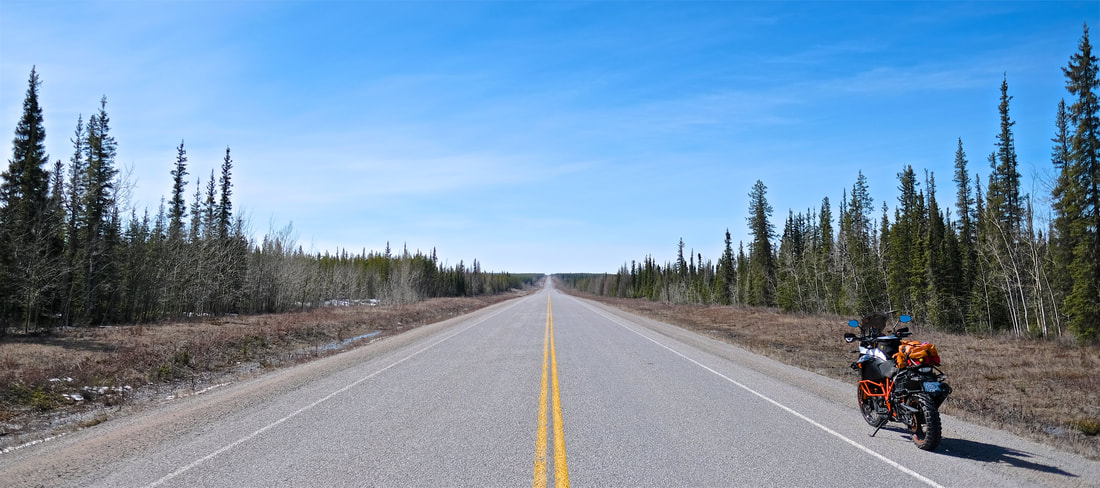
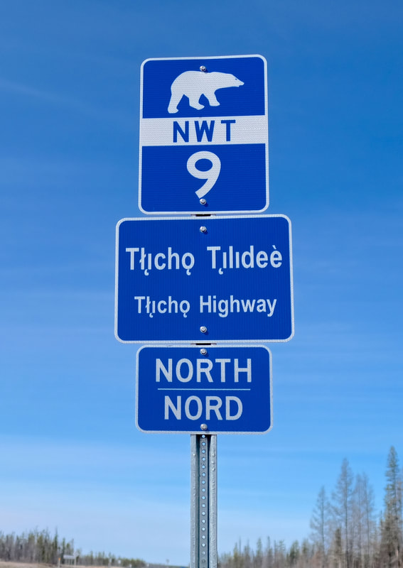
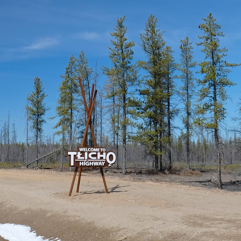
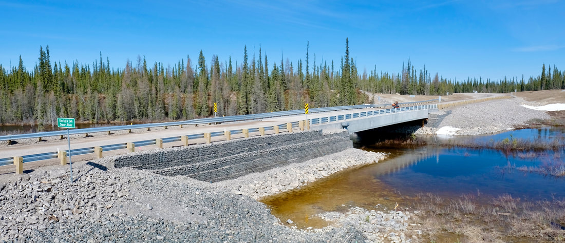
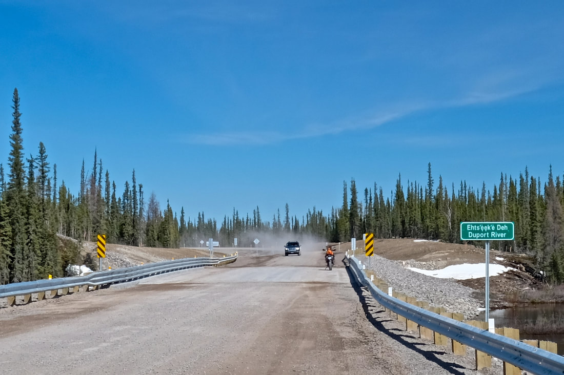
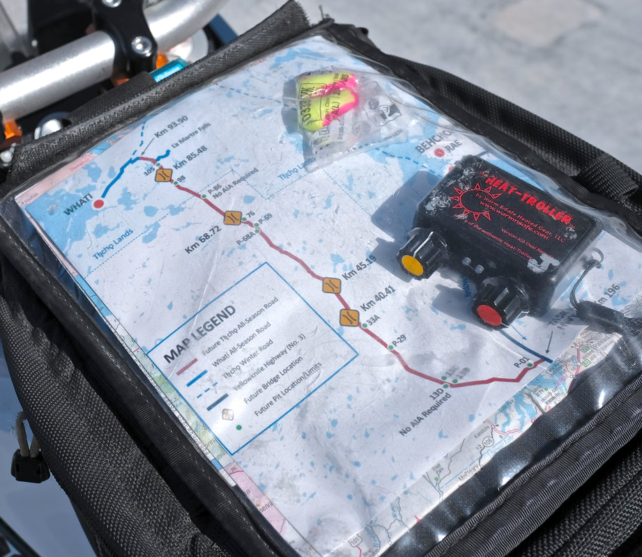
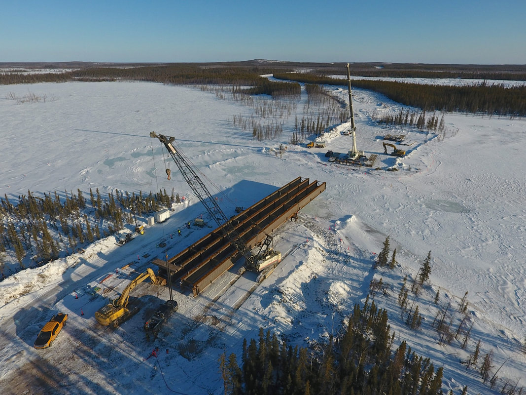
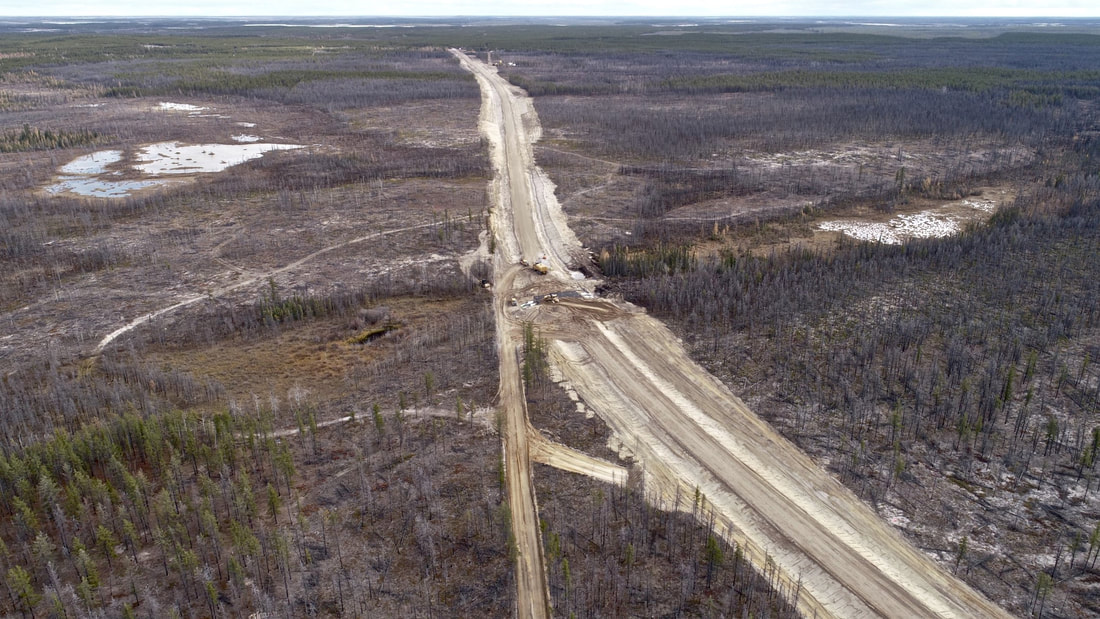
Okay, the new road! The Tłı̨chǫ Highway is a new road on the NWT’s highway network, providing year-round road access to the community of Whatì — which previously was accessible only by a seasonal winter road from late January to mid-April, and otherwise by air. During winter road season, the Whatì road also serves as the southern link from Highway 3 up to ice roads extending further north from Whatì up to the other Tłı̨chǫ communities of Gamètì and Wekweètì. The new all-season road is a 97 km two-lane gravel highway, with 16 water crossings (12 culverts + 4 bridges), which was constructed in a little over two years at a cost of $185 million within a larger 25-year, $412 million contract to design, build, finance, operate, and maintain it. The road opened to the public on 30th November 2021, making 2022 its first summer season of operations. $185M for 97 works out to $1.9 million per kilometer, or 1.18 million dollar smiles per mile...
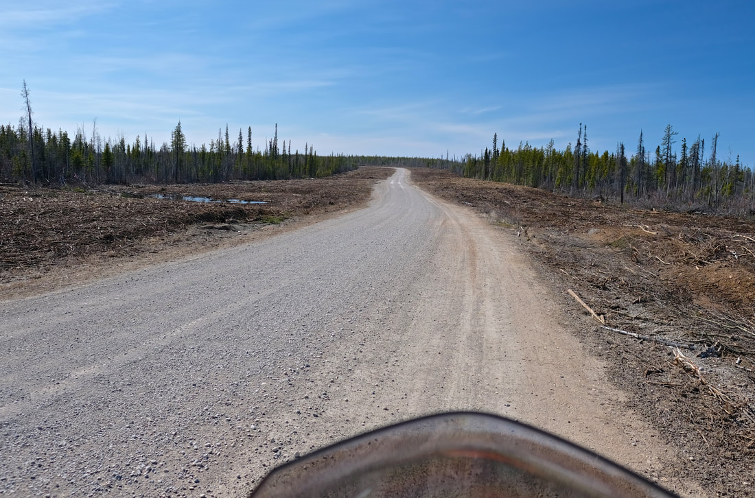
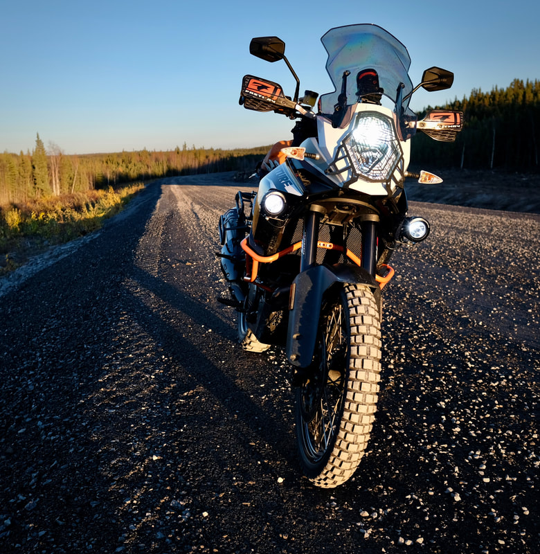
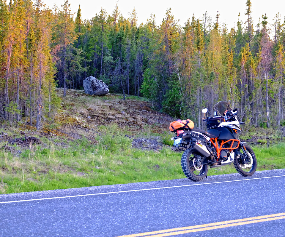
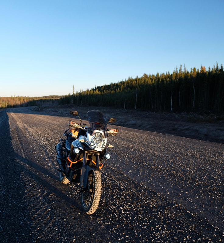
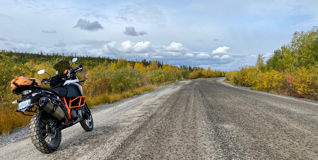
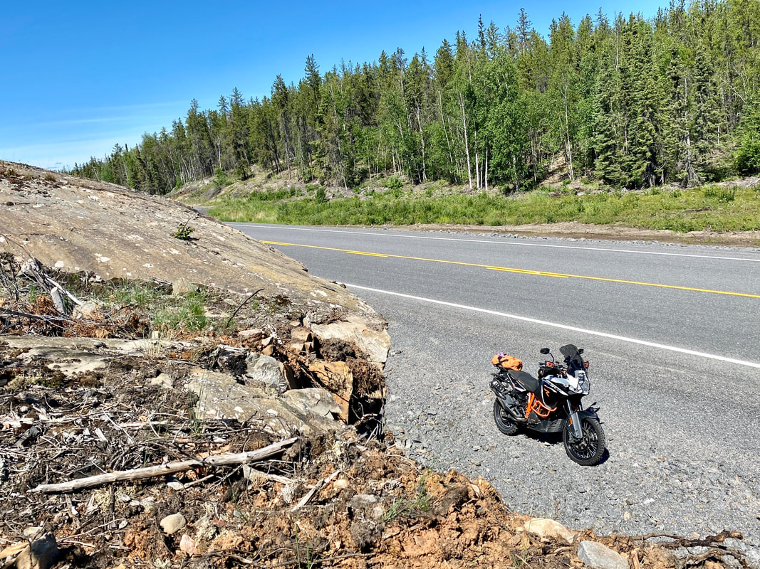
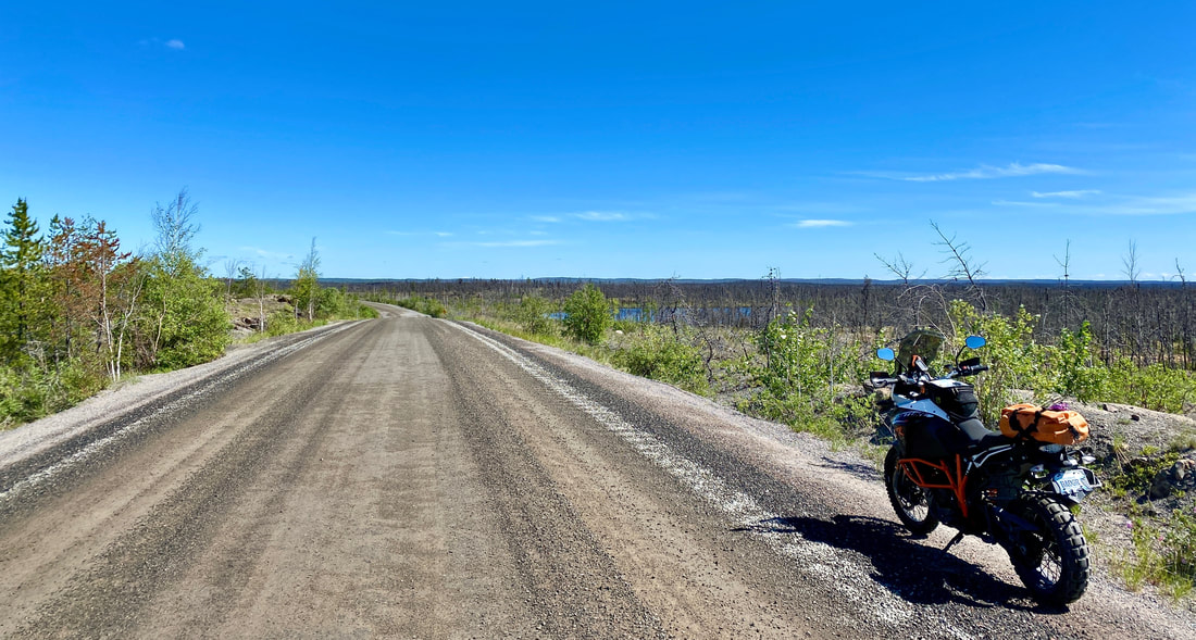
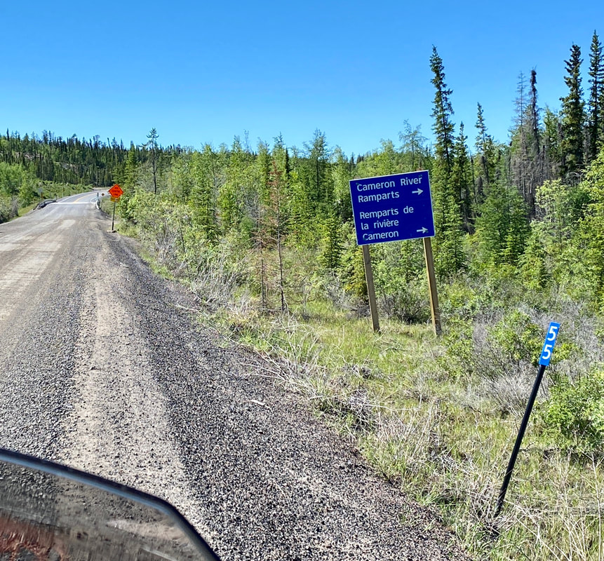
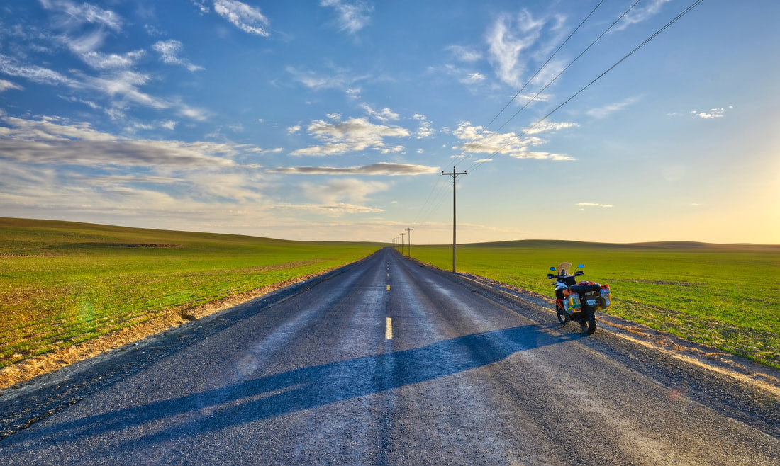
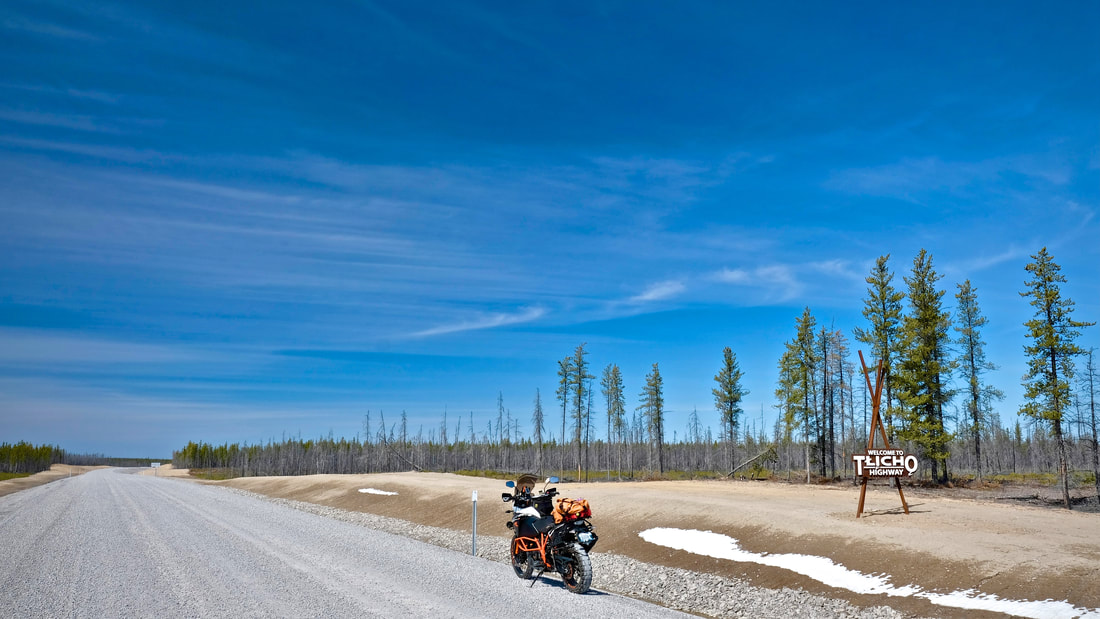
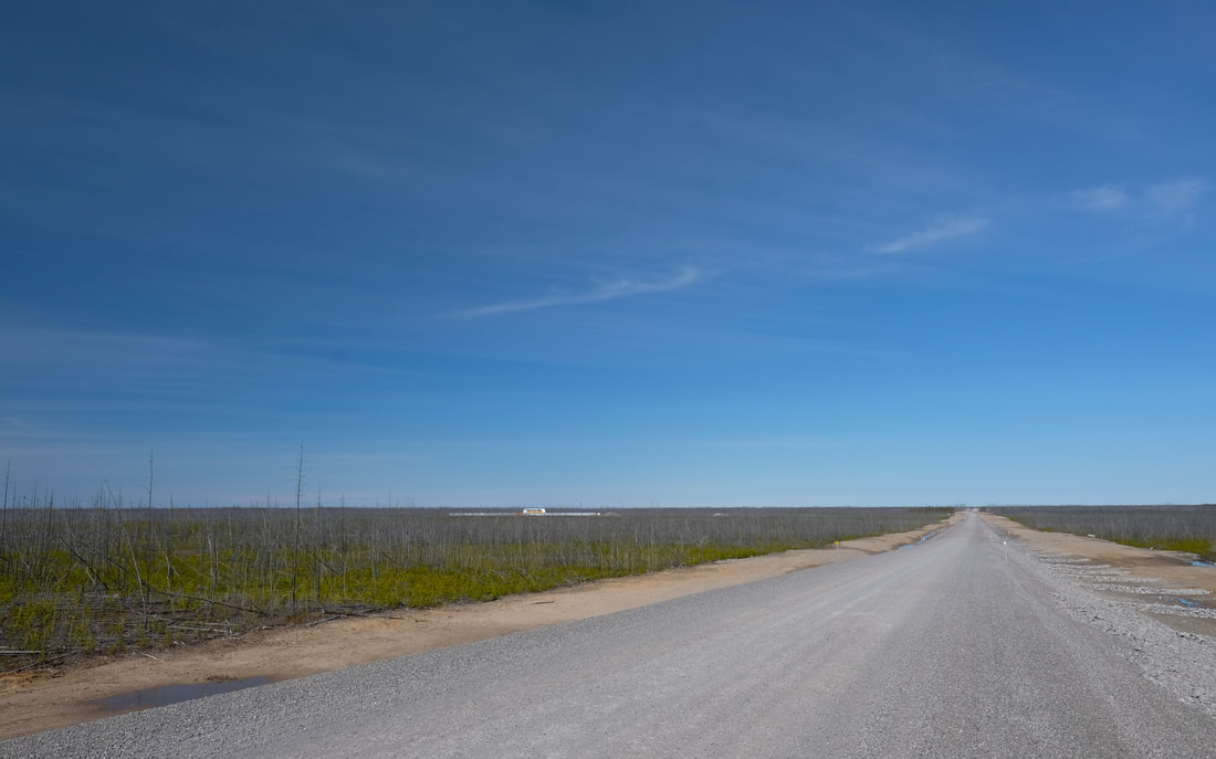
At kilometer 196 of the Yellowknife Highway, I hung my right, and set off north! The road was in great condition -- better than I'd been led to believe -- with the biggest hazard being variable depths of loose marbley gravel in the middle 60% of the road surface. But, almost without exception, the outermost 20% strips were clear of the wiggly stuff and were firm, packed, high-traction, ideal moto-lanes, and were where I hung out for the majority of the journey. (Trying not to think about the hypothetical impact point of a hypothetical motorcyclist on the innumerable reflector-marker posts lining both edges of the entire highway at what felt like 20 or 30 metre spacing. The longer the day drew on, the more they started to look like skewers.)
Fuel planning for the day dictated a 10 km diversion off the highway to top up Badger's tank in Behchokǫ̀ on our way out, and again on the way back to get home, as my pre-scouting phone call had determined that there is no gas available in Whatì on a weekend. The government-run fuel facility there is only open for sales to the public during selected hours, weekdays only, so I needed to be self-reliant. For only the second time in Badger's life, we carried extra fuel, today in the form of a 1-gallon Rotopax container strapped to his tail rack, which was a first-time configuration and marginally more convenient than the four 1 L fuel bottles I stashed in a pannier on the Dempster (and more secure than the mini Jerry can strapped to Kill'rs rear end on his fateful last day). So: 23 L tank plus 3.8 L extra would be enough to comfortably span the 340 km out-and-back from Behchokǫ̀ to Whatì, plus 2 x 5 L top-ups in Behchokǫ̀ to cover the 110 km slab to and from my Yellowknife point-of-origin. Maybe highway-associated tourism will one day influence the opening hours for fuel sales in Whatì, but for now -- plan accordingly. (For motorcyclists travelling up from the south, that would be a 445 km fuel leg from Fort Providence up to Whatì and onward to Behchokǫ̀, which is substantially more of a challenge.) As for Behchokǫ̀ on a weekend: Northmart gas station is open 9:00am to 8:15pm both Saturday and Sunday, and FC Services is open until 11:00pm both days (contrary to what Google Maps says). Both are prepay, so save yourself looking the fool and just go inside before trying to get the pump to start.
Okay, the new road! The Tłı̨chǫ Highway is a new road on the NWT’s highway network, providing year-round road access to the community of Whatì — which previously was accessible only by a seasonal winter road from late January to mid-April, and otherwise by air. During winter road season, the Whatì road also serves as the southern link from Highway 3 up to ice roads extending further north from Whatì up to the other Tłı̨chǫ communities of Gamètì and Wekweètì. The new all-season road is a 97 km two-lane gravel highway, with 16 water crossings (12 culverts + 4 bridges), which was constructed in a little over two years at a cost of $185 million within a larger 25-year, $412 million contract to design, build, finance, operate, and maintain it. The road opened to the public on 30th November 2021, making 2022 its first summer season of operations. $185M for 97 works out to $1.9 million per kilometer, or 1.18 million dollar smiles per mile...
At kilometer 196 of the Yellowknife Highway, I hung my right, and set off north! The road was in great condition -- better than I'd been led to believe -- with the biggest hazard being variable depths of loose marbley gravel in the middle 60% of the road surface. But, almost without exception, the outermost 20% strips were clear of the wiggly stuff and were firm, packed, high-traction, ideal moto-lanes, and were where I hung out for the majority of the journey. (Trying not to think about the hypothetical impact point of a hypothetical motorcyclist on the innumerable reflector-marker posts lining both edges of the entire highway at what felt like 20 or 30 metre spacing. The longer the day drew on, the more they started to look like skewers.)
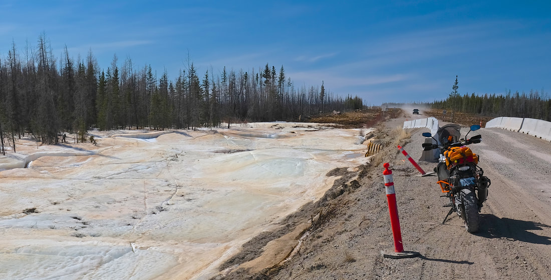
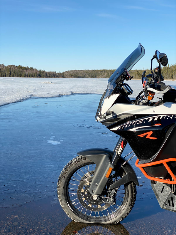
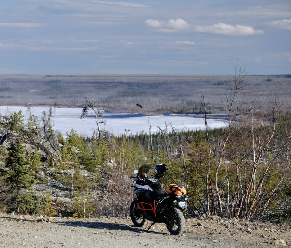
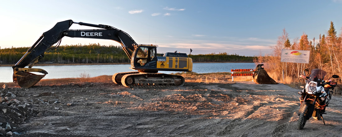
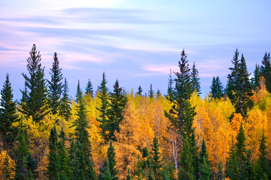
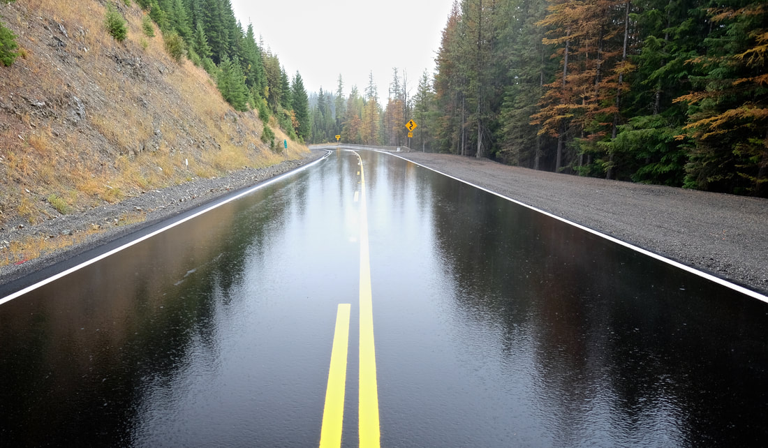
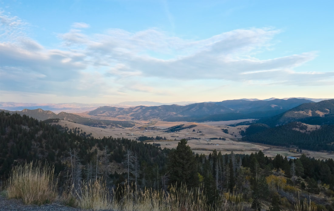
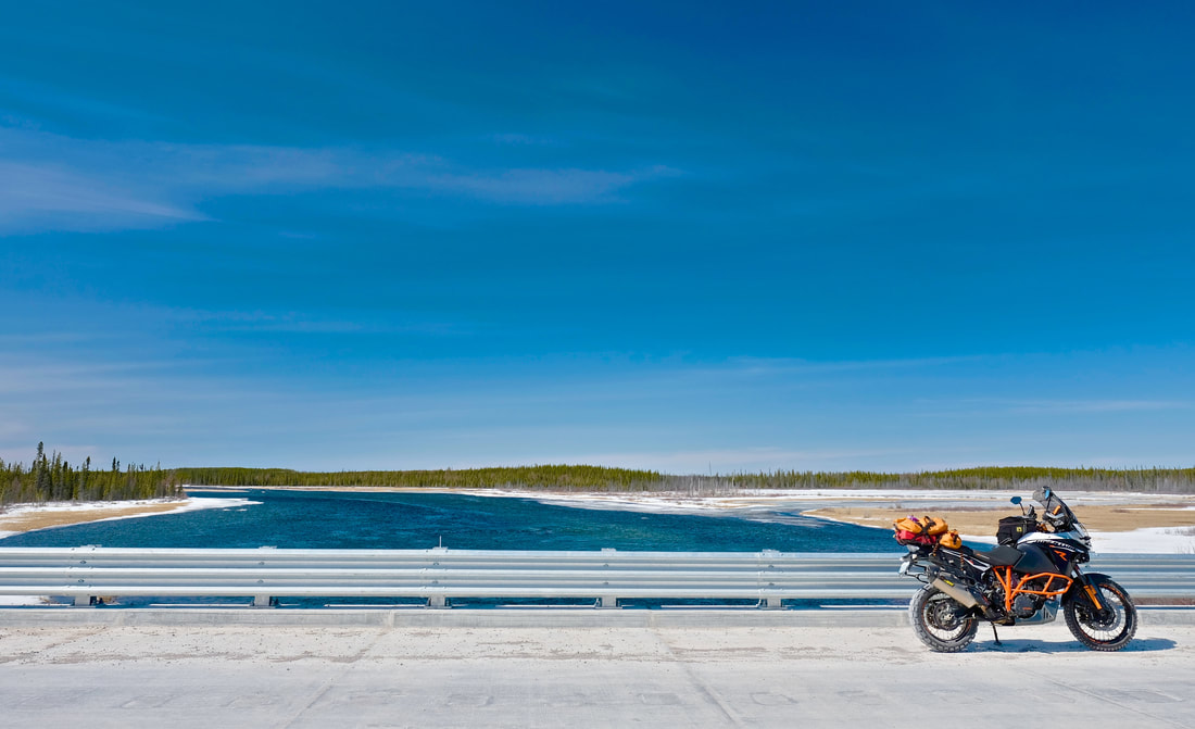
Northbound, I passed five vehicles headed south, including a lovely couple who slowed and eventually stopped their SUV on the road at km 40 -- where I had parked for a photo-op at the first bridge -- and waited for me to walk over, just to say hello, check if I was okay, ask about my trip and how my bike was on the gravel, and caution me about a looser section and some other traffic coming a little ways up the road. It really was a perfect day, sunny, no threat of rain, with just enough traffic to feel safe, dust plumes helping everyone to see each other coming, and a fresh breeze to keep them from loitering (the plumes, that is). Although the road is mostly flat, the views were more expansive than I expected, thanks to the built-up road surface and the thin trees, and certainly better than pure tunnel-through-forest which I was somewhat expecting.
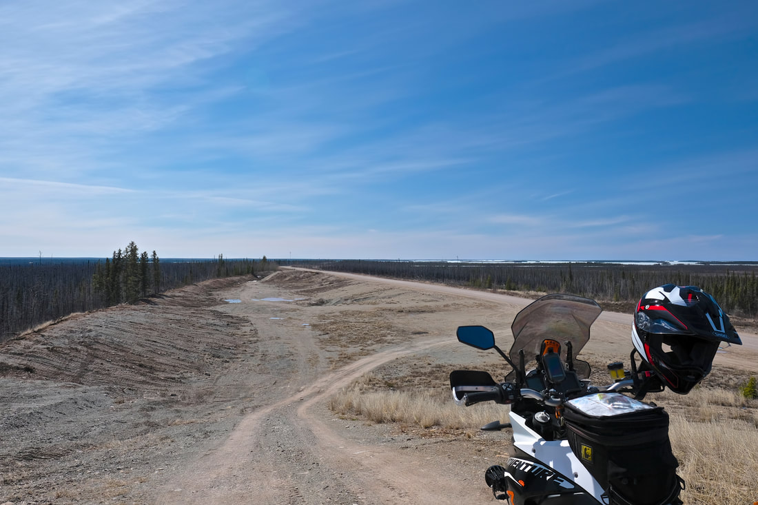
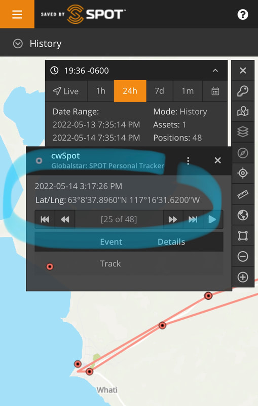
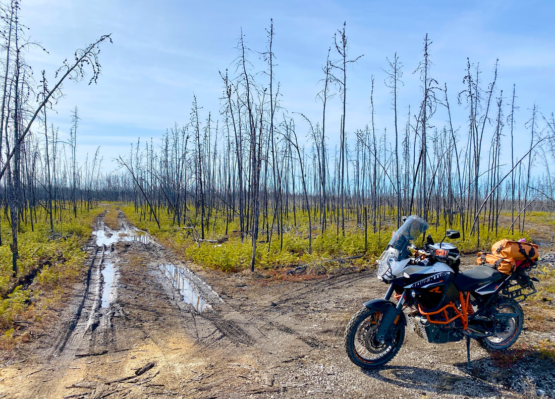
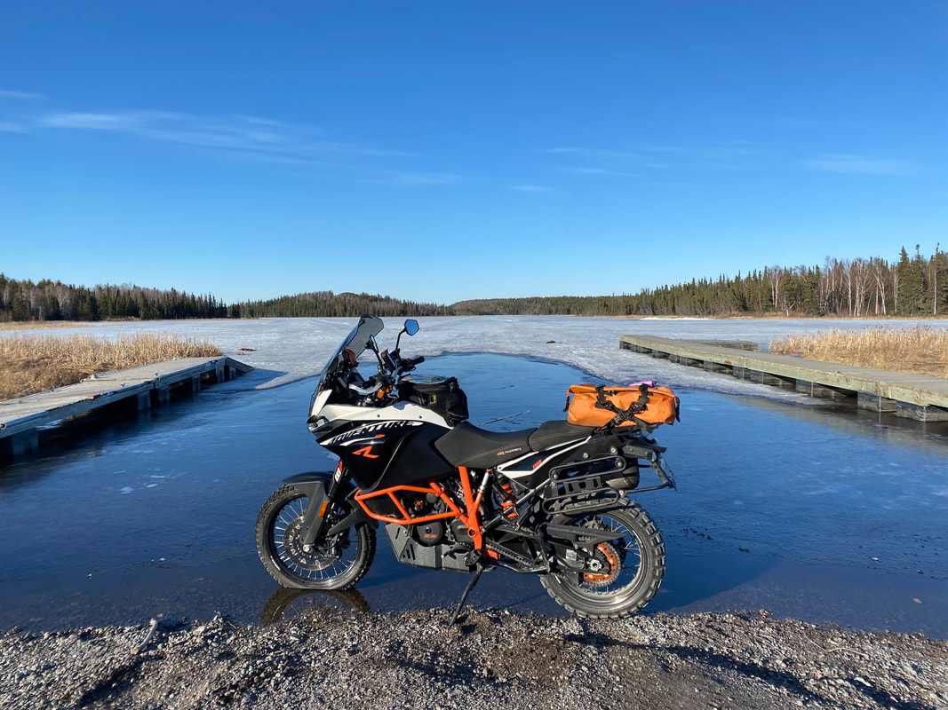
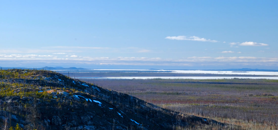
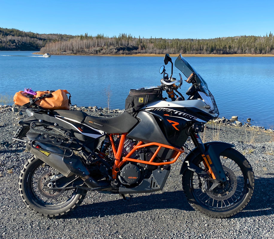
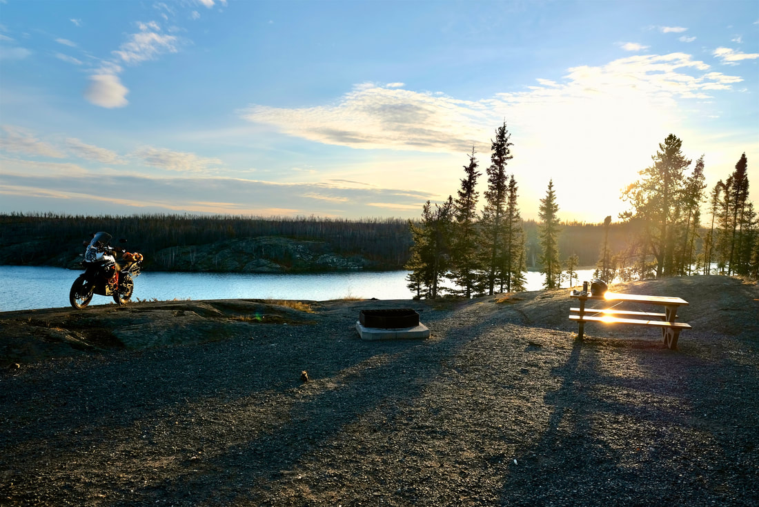
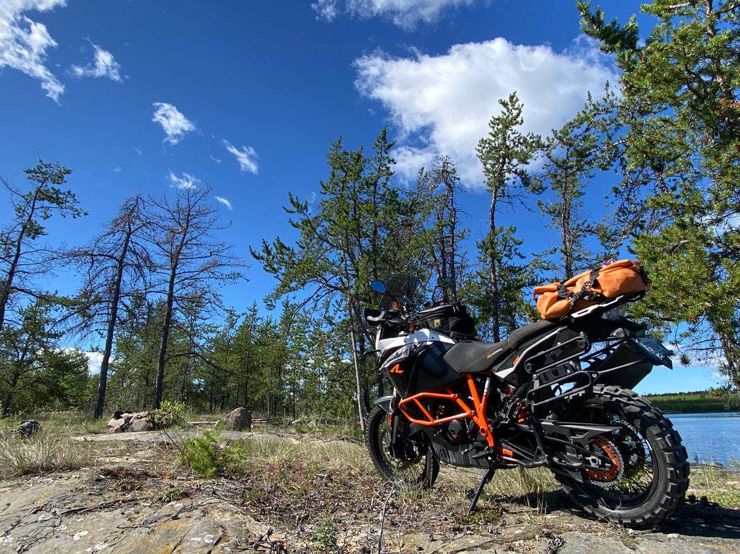
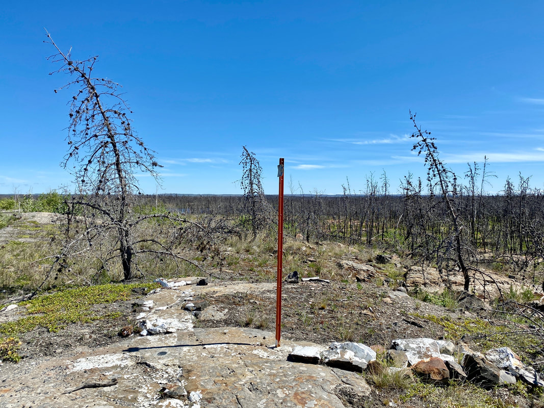
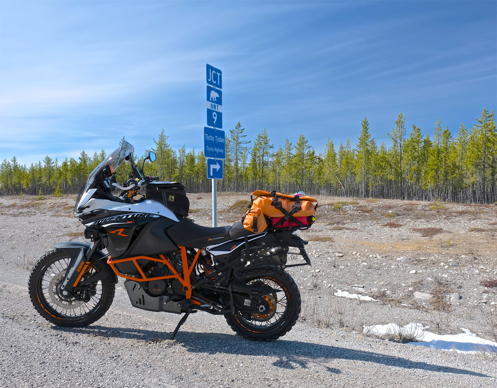
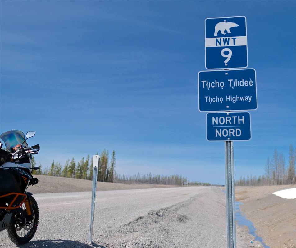
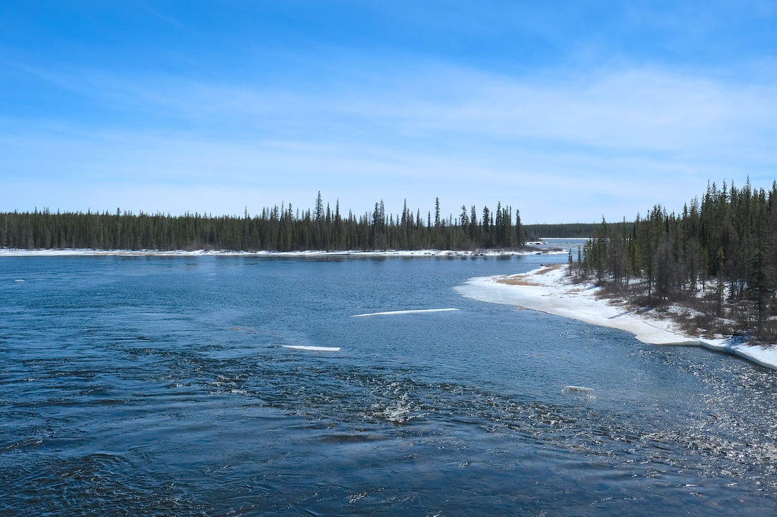
I took my time on the way up, stopping frequently for photos, checking out each of the bridges and anything else that stood out. My transit time was 1h40m up the new gravel (which dropped to 1h10m return, owing to fewer photo stops and no more unknown up around the bend). From the northern terminus of Highway 9, the final spur west into Whatì is a narrower gravel road which feels like its winding across a plateau, with small frozen lakes on either side, surrounded by thin pine forest. Sensing I was getting close, I followed a jeep track up to a small hilltop by the dump, which offered a lookout point where, although I couldn't quite see the community, I took a break from the helmet, had a coffee and a snack, poured my extra fuel in, and confidently peeled off my heated jacket layer for the afternoon.
I took my time on the way up, stopping frequently for photos, checking out each of the bridges and anything else that stood out. My transit time was 1h40m up the new gravel (which dropped to 1h10m return, owing to fewer photo stops and no more unknown up around the bend). From the northern terminus of Highway 9, the final spur west into Whatì is a narrower gravel road which feels like its winding across a plateau, with small frozen lakes on either side, surrounded by thin pine forest. Sensing I was getting close, I followed a jeep track up to a small hilltop by the dump, which offered a lookout point where, although I couldn't quite see the community, I took a break from the helmet, had a coffee and a snack, poured my extra fuel in, and confidently peeled off my heated jacket layer for the afternoon.
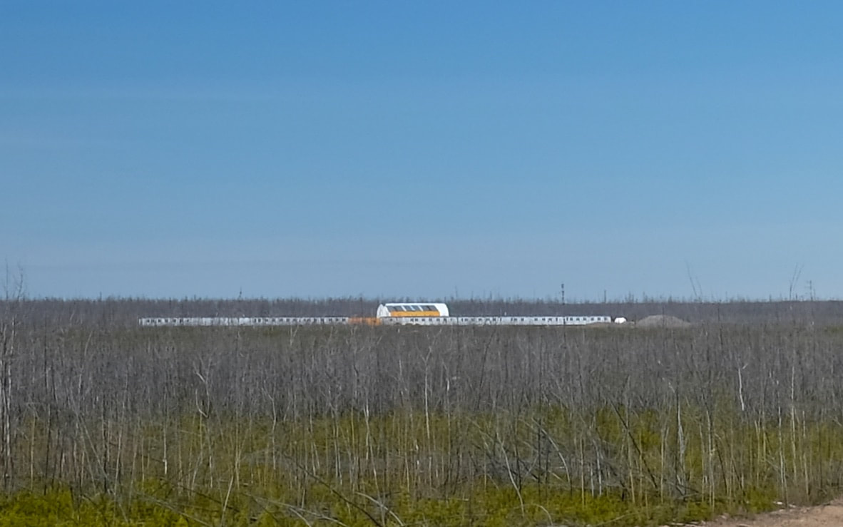
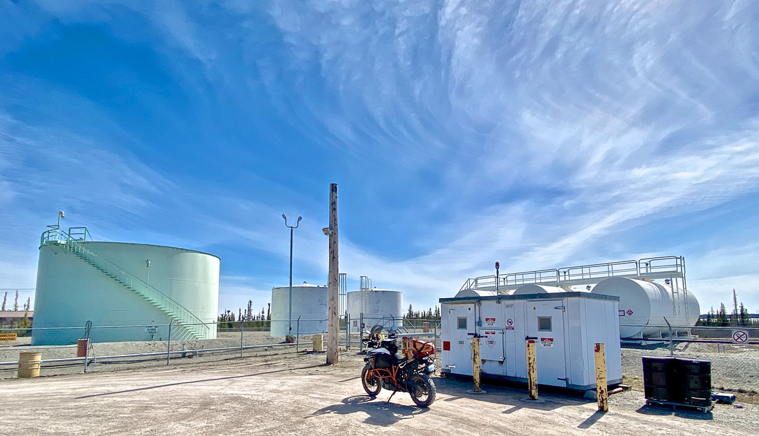
Reset complete, Badger and I mustered up our shy confidence and proceeded into town to make our parade lap and check it out. I cruised slowly, sitting in 1st gear and minding the posted 25 km/h speed limit, armed with disarming waves and smiles, but feeling about as inconspicuous as an outsider wearing red astronaut pants on an orange motorcycle in a historically fly-in community probably could. Anyway, I mustered up the courage to stop at the (closed) tank farm gas station, at the (bright orange!) water treatment plant, and at the community store, where I chatted with a couple of guys who had lots of questions about Badger and left me feeling welcome. More importantly, they confirmed that Badger was the first moto to make it to Whatì ("OH, we would know!!"). Woot woot!
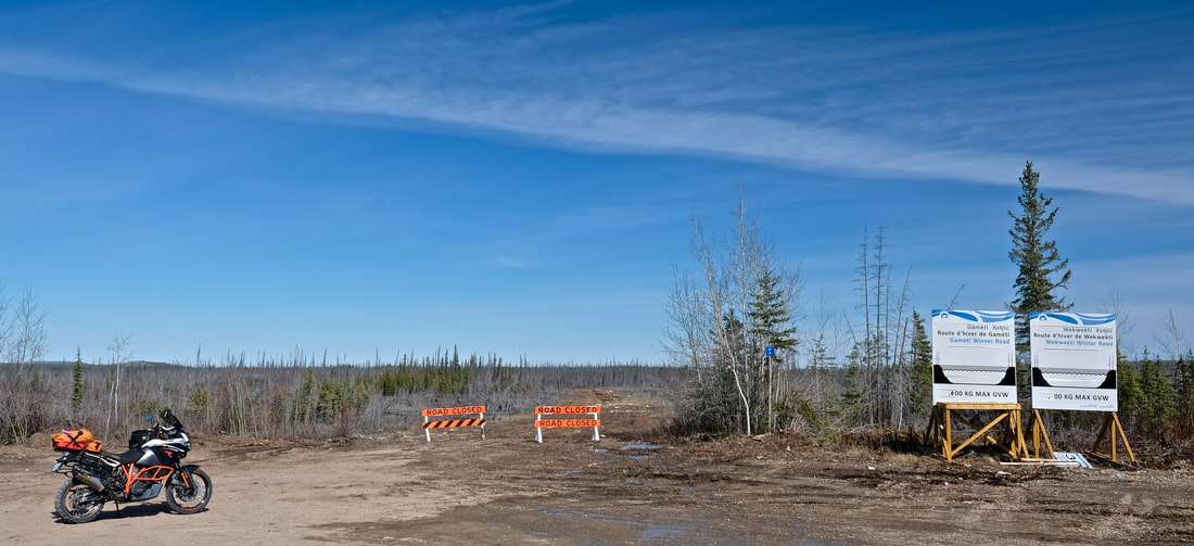
My return trip was uneventful, and totally enjoyable. The access road into Whatì Falls was marked as closed, and I respected the barricades and saved that for next time. I encountered six vehicles on the southbound gravel, all oncoming but for one which caught me and turned out to be a yellow Kiewit road maintenance crew pickup which passed me right at their moonbase. A few electronic discoveries on the day -- that all my AA rechargeable batteries (GPS) are gone to shite; that my noise-cancelling earbuds no longer lasts a full day of riding; and, that packing a portable USB battery pack is pointless without the correct cord -- served as useful shakedown learnings for my forthcoming 2.5-week trip. I forgot to take dog treats and an ADV sticker up with me (it's okay, I'll go back), and I forgot to look for a "Whatì" or "TASR" sticker for my panniers at the store (because self-induced self-consciousness brain coma).
Back at the Yellowknife Highway, I endeavoured to drop in on some friends cutting firewood at a camp in the bush, but unsure whether I was scoping out the correct mudhole crossing, and equipped with only a bald tire, a dead GPS, and end-of-day decision-making skills, I aborted for home. I reached my mental 'ready' point at my final Behchokǫ̀ fuel stop, by which time my out-of-shape right hand was cramping, my out-of-shape skull aching from helmet pressure, my out-of-shape jaw sick of gum chewing, an my out-of-battery earbuds leaving me singing Heart songs to myself at full in-helmet volume.
It will be interesting to see what volume of tourist visitors head up to check out the highway and Whatì, and whether any tourist-oriented services expand as a result over the next few years, similar to Tuk. Regardless, this daytrip is an undeniable gem of an addition to moto life in Yellowknife, and I will do it again, hopefully with some regularity. Masì cho to everyone who shared a welcoming wave, smile, or chat out there today!
| Day total: 577 km, 8h25m Trip total: 577 km, 8h25m | Start: Home. End: Home. Soundtrack: Shuffle to start, bad (truly awful) helmet singing to finish. |