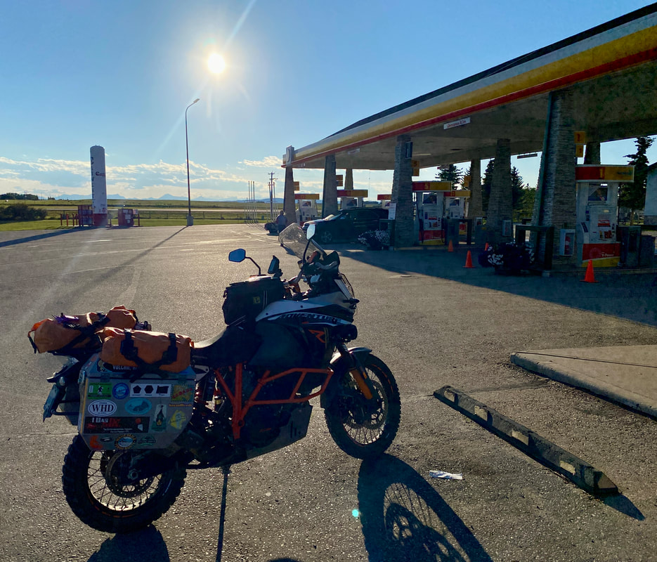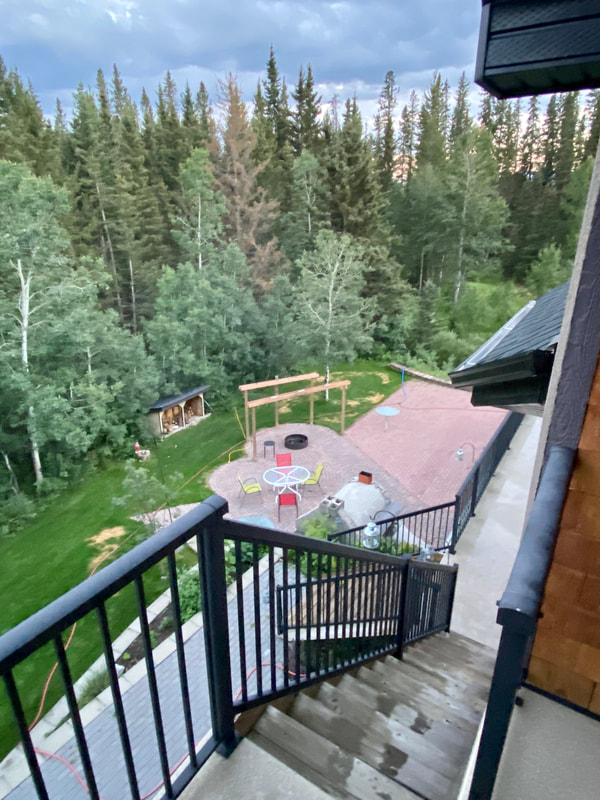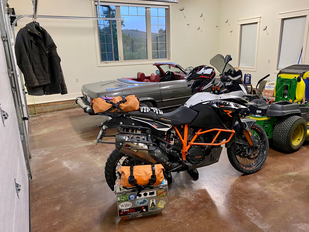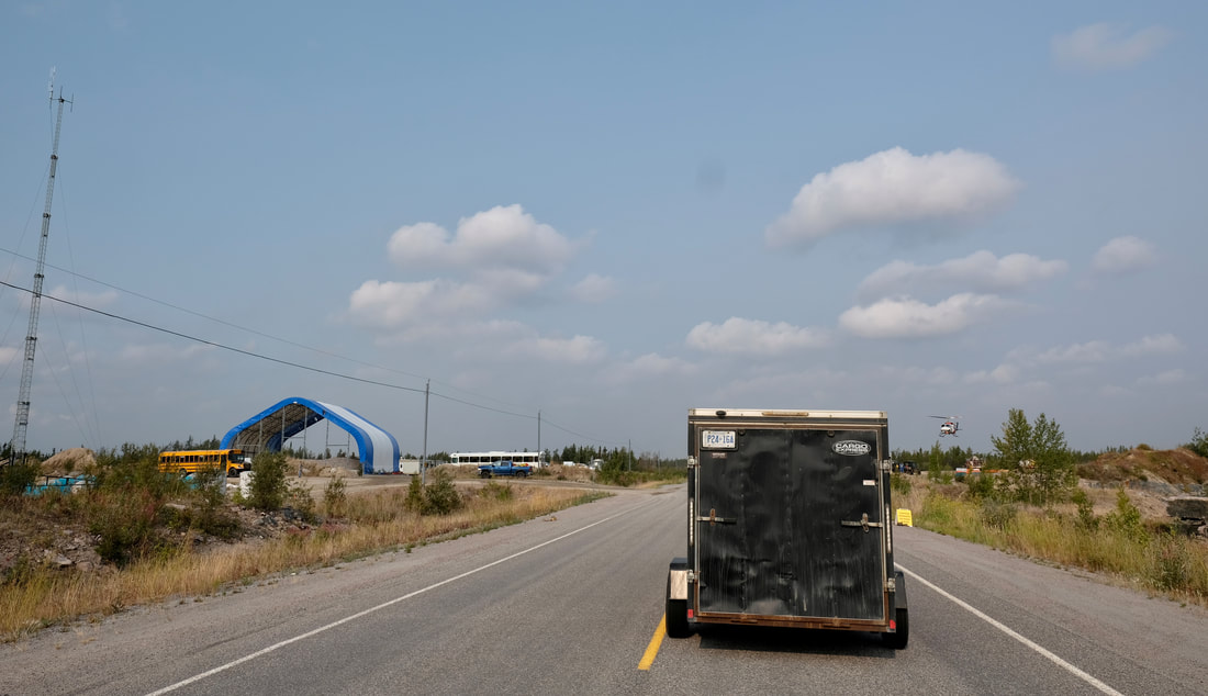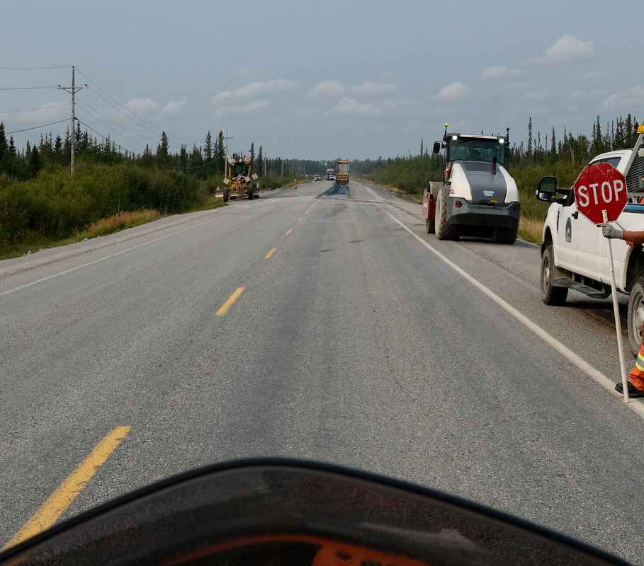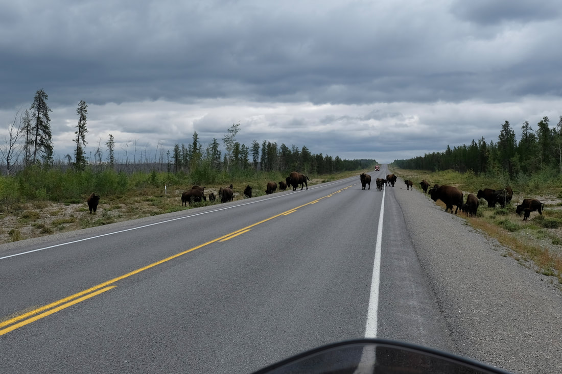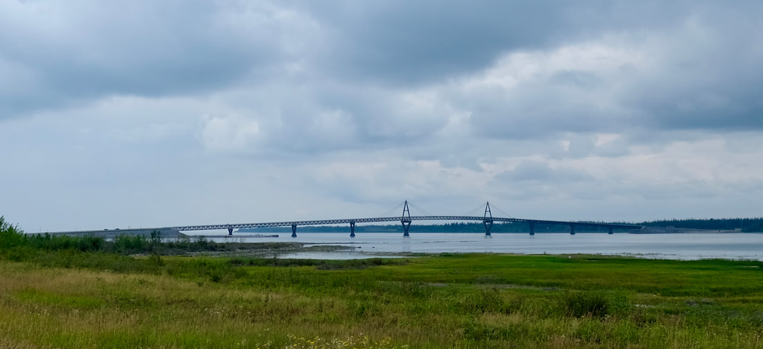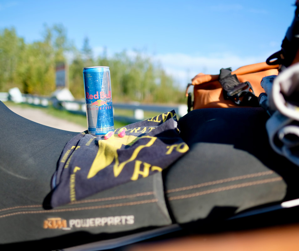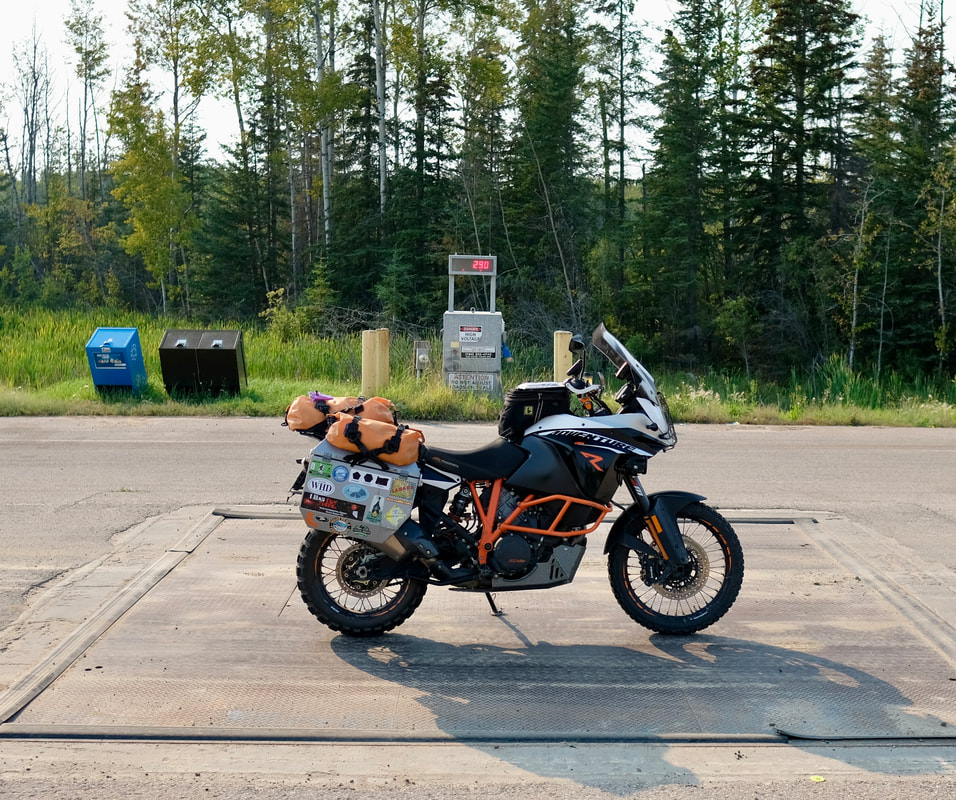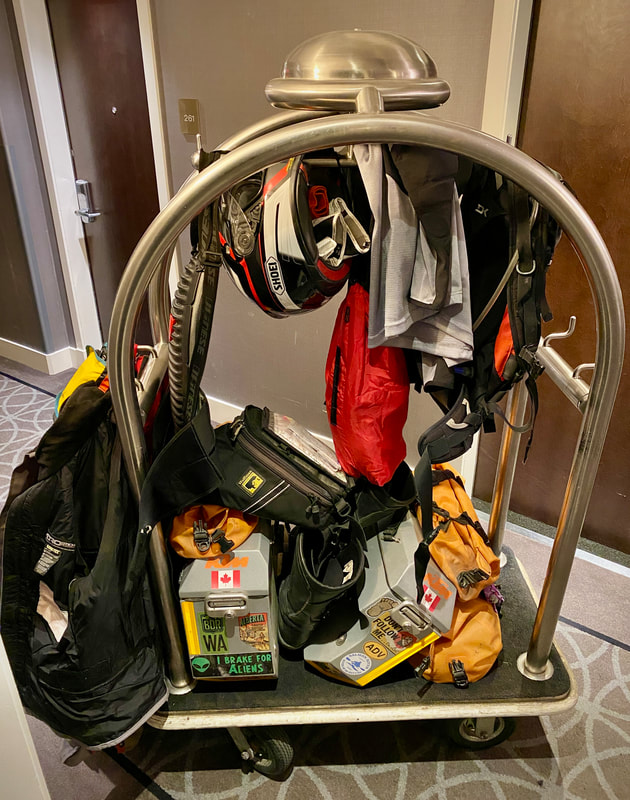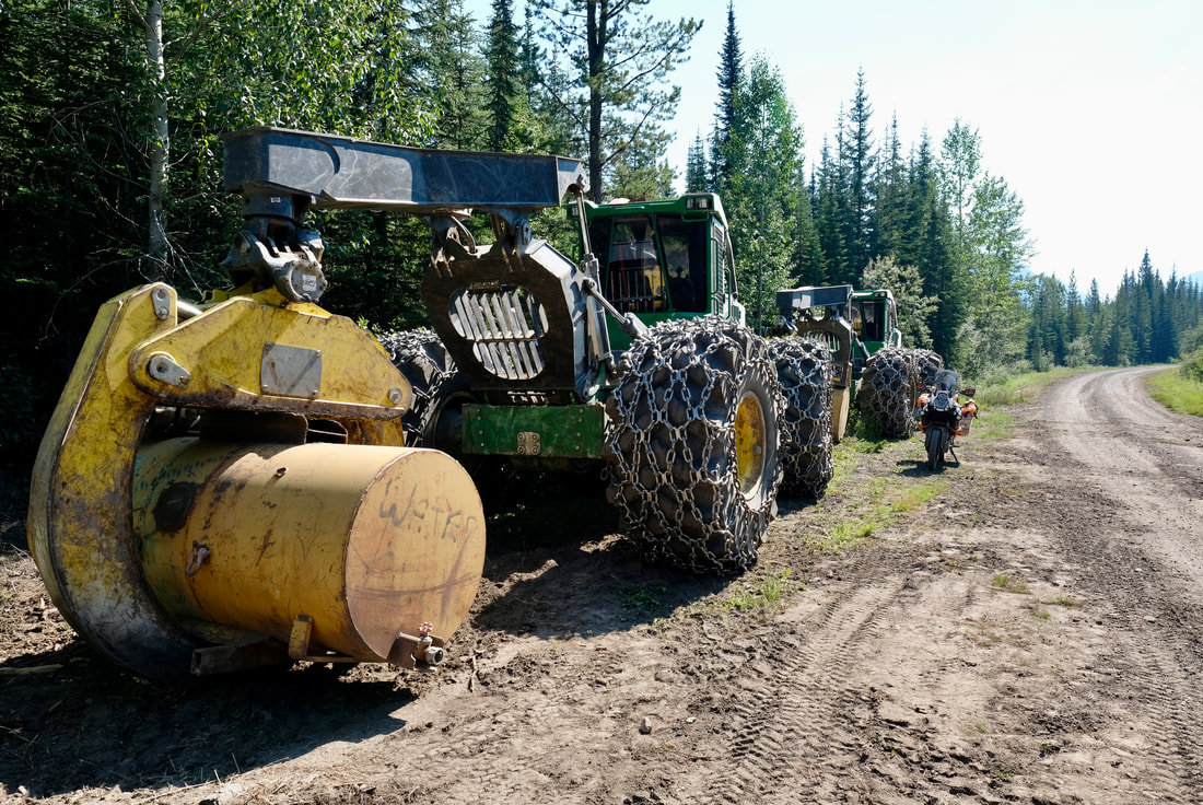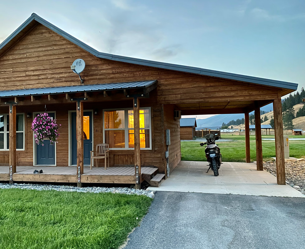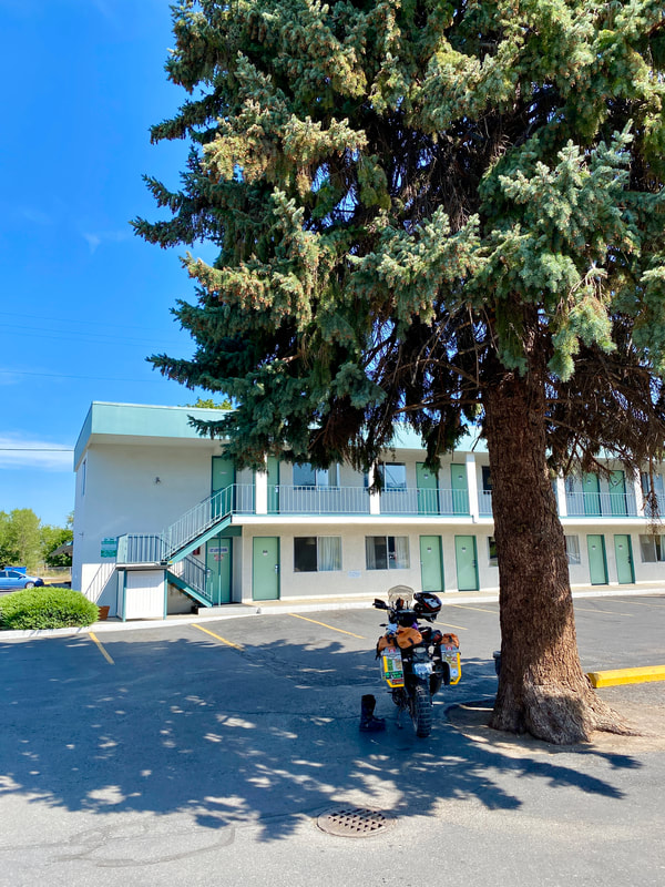
After my 13-hour workday yesterday, I scheduled a slight sleep-in, requesting that the Breakfast portion of my BnB be for 8:00am. Alas, it was dead quiet in the country overnight, and I must have slept deeply, because I woke naturally at 6:30, feeling refreshed and awake. After that hearty country breakfast, I took a few minutes to finish jotting yesterday's notes, then performed the top floor pannier carry, dealt with the social invoice typical of BnB stays, and was rolling at 10:00. A shorter day in store today, but still a full one, with the intention to continue southbound, cross into Montana, and plough through the top half of the state.
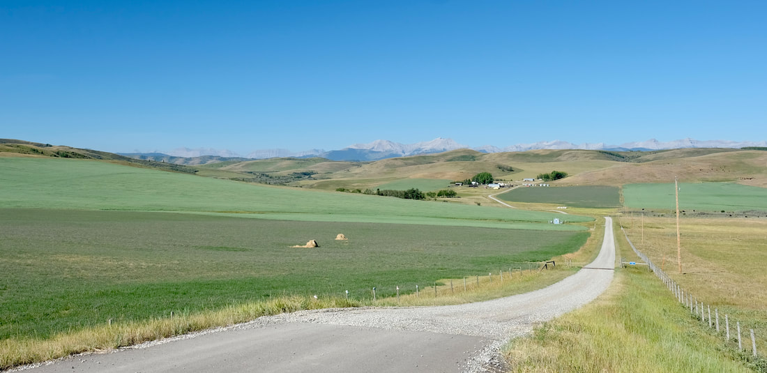
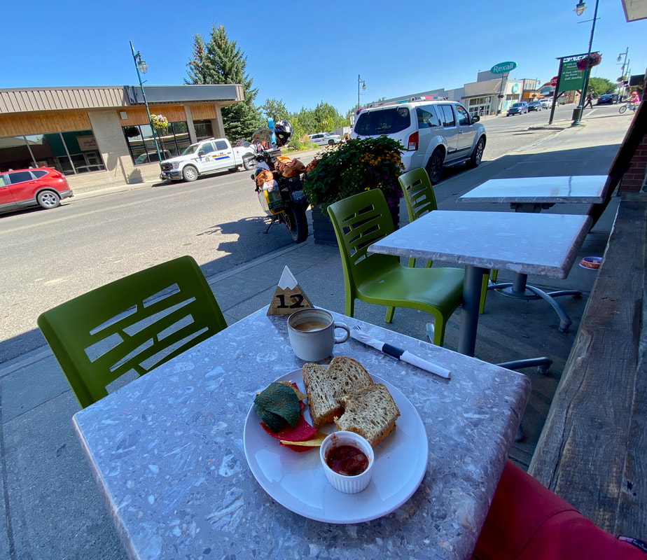
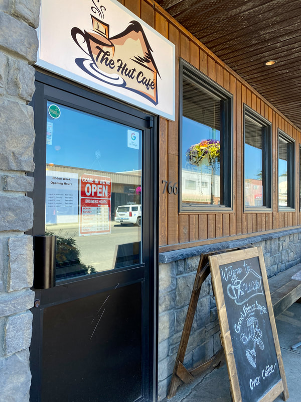
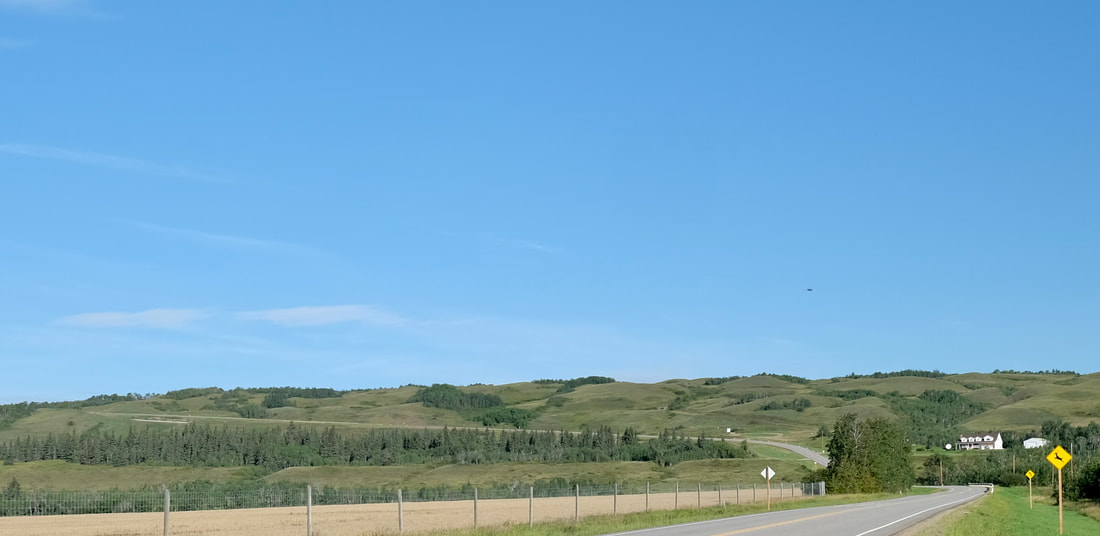
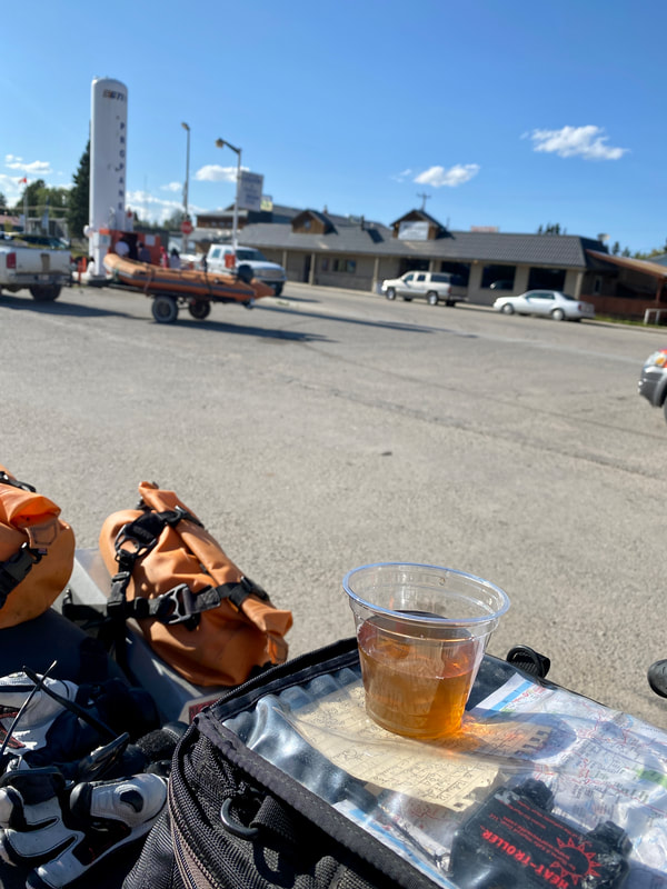
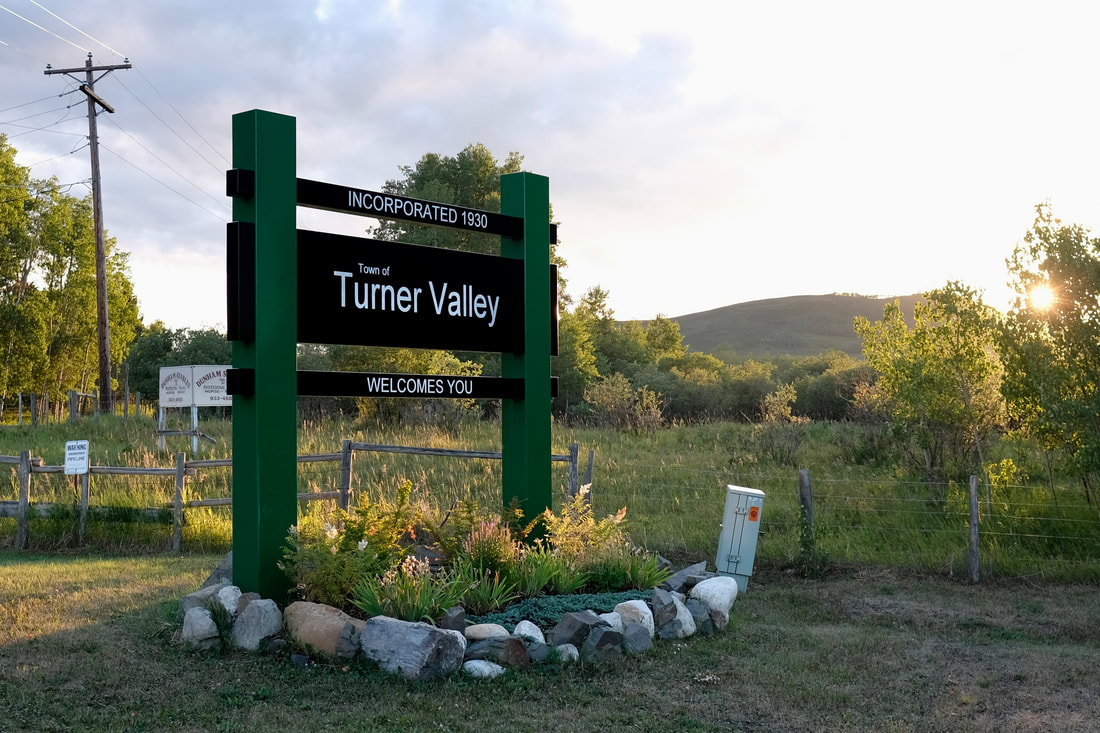
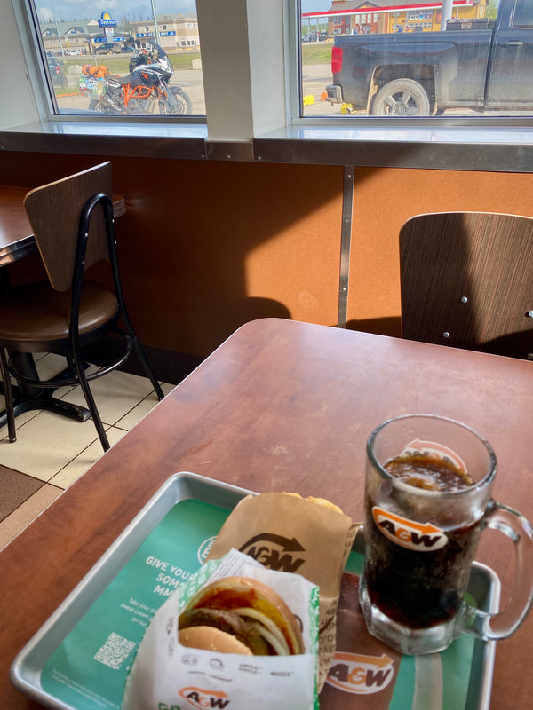
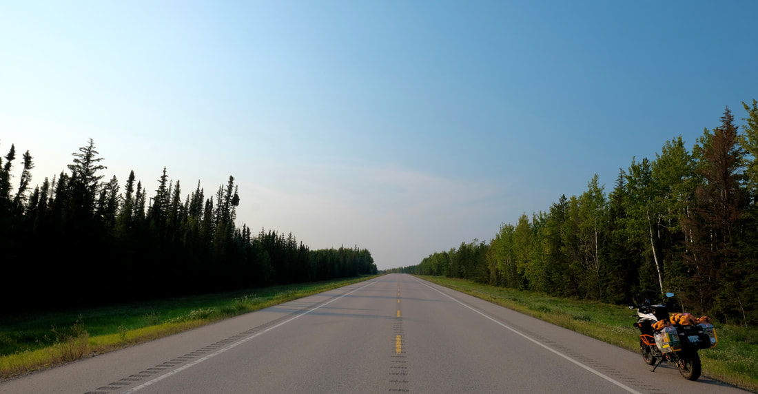
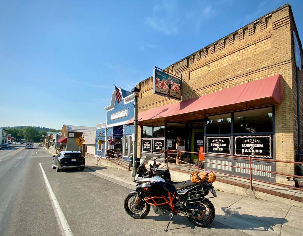
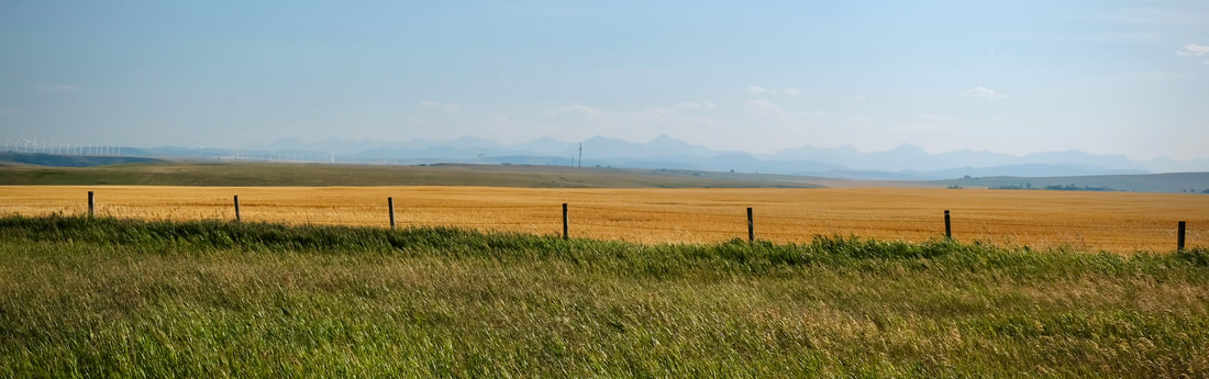
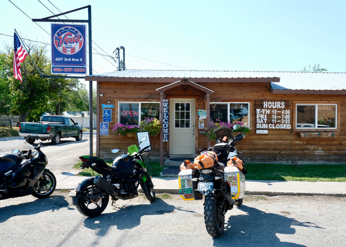
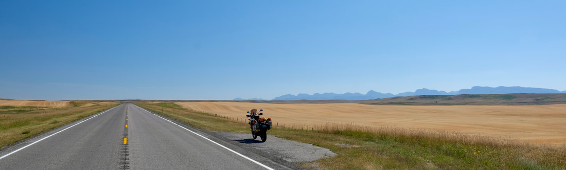
I departed Turner Valley via a short but nice shortcut suggested by my host -- Decalta Road, where I immediately encountered multiple other motorcyclists, foreshadowing that I would be seeing bikes everywhere throughout the day. I got back to the 22, and hardballed it south through Longview and the rolling grassy hills, with the Rockies as a backdrop on my right side. (This, too, would turn out to be a constant today.) It was predictably windy as I approached the Crowsnest Highway, where a quick jaunt east took me to Pincher Creek, I pitted for gas, and spontaneously decided to spoil myself with a little lunch and a good coffee.
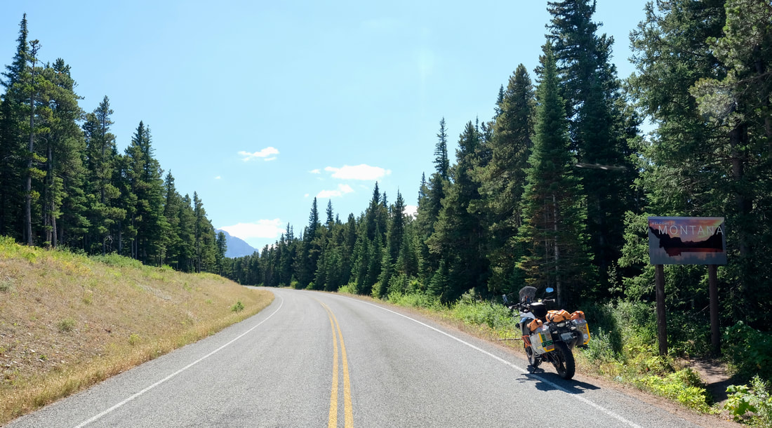
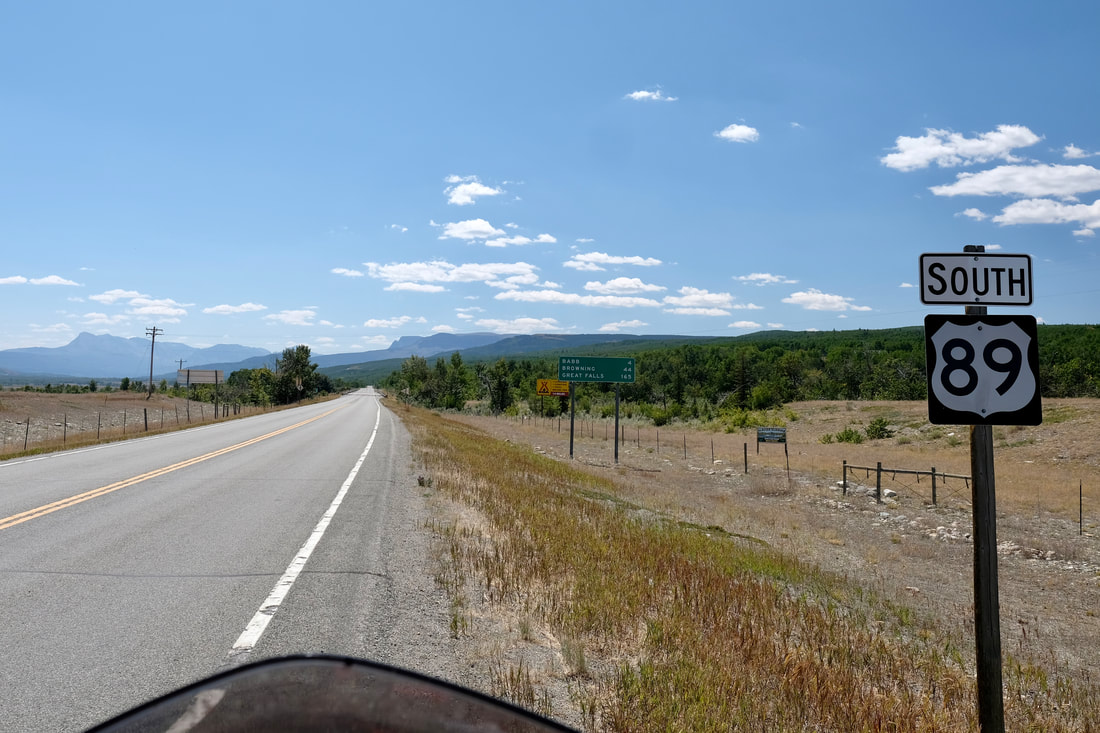
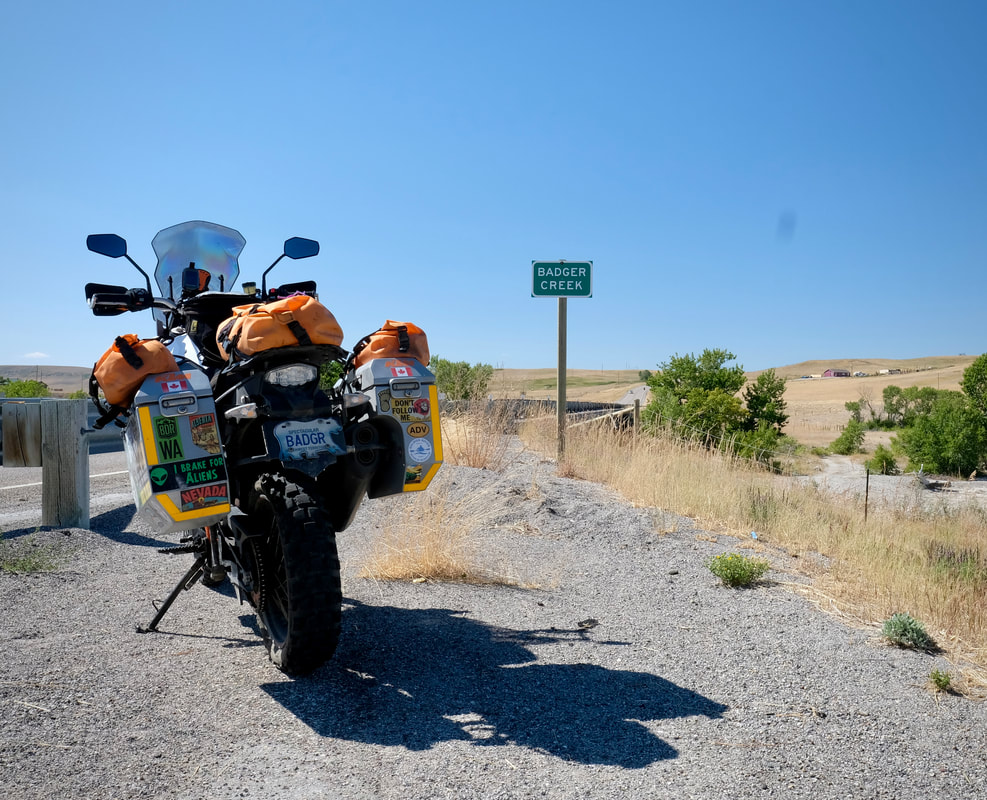
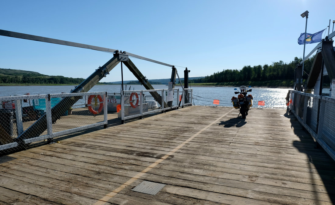
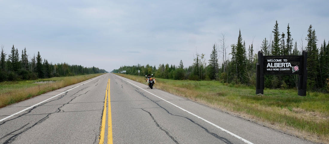
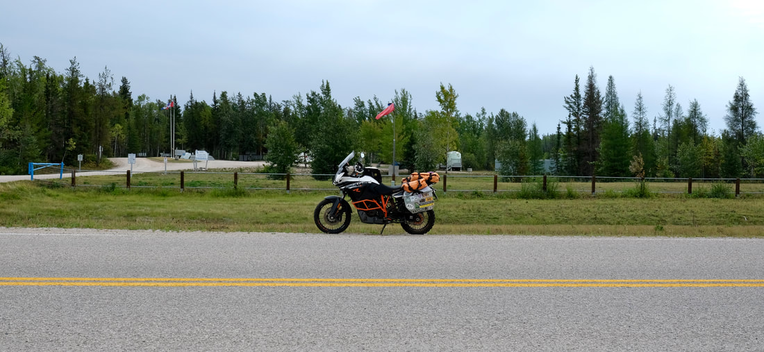
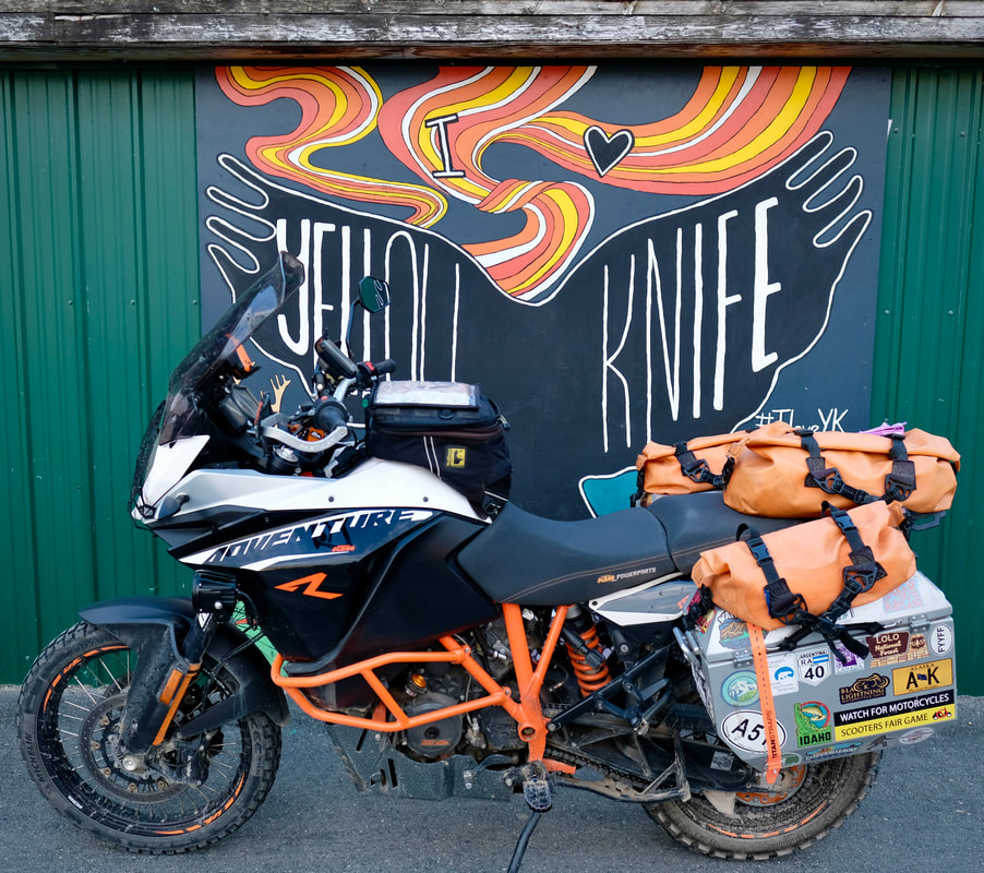
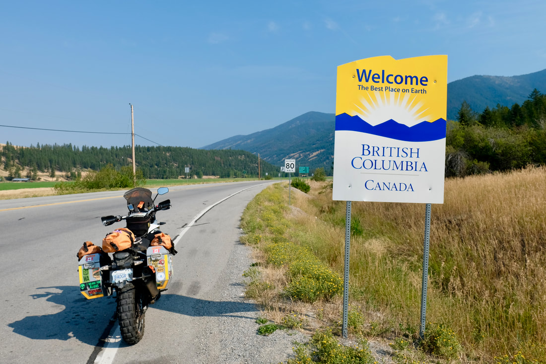
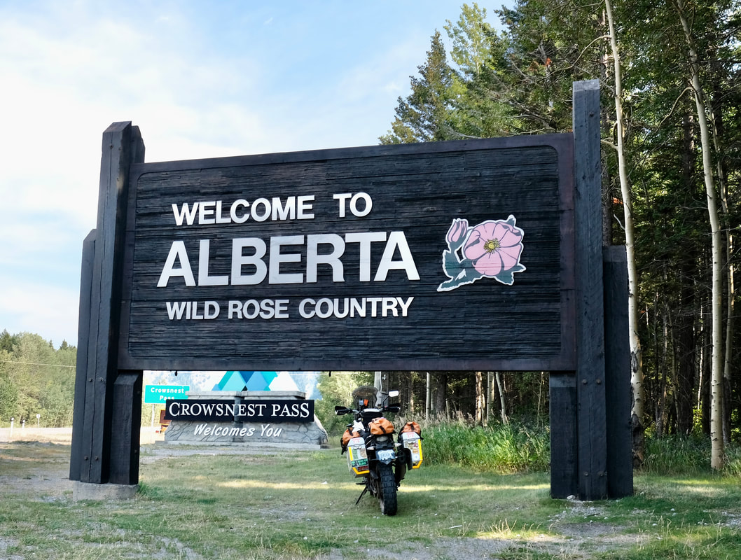
Continuing south, now playing hardball on the 6, I went past the turnoff to Waterton, and followed the signs to Chief Mountain border crossing. I had a super-smooth and relaxed crossing, confirming no guns, no ammo, no drugs, and no oranges, at which time I received a "Welcome Back" and warm wishes for my vacation. Always choose the smallest possible border station.
I departed Turner Valley via a short but nice shortcut suggested by my host -- Decalta Road, where I immediately encountered multiple other motorcyclists, foreshadowing that I would be seeing bikes everywhere throughout the day. I got back to the 22, and hardballed it south through Longview and the rolling grassy hills, with the Rockies as a backdrop on my right side. (This, too, would turn out to be a constant today.) It was predictably windy as I approached the Crowsnest Highway, where a quick jaunt east took me to Pincher Creek, I pitted for gas, and spontaneously decided to spoil myself with a little lunch and a good coffee.
Continuing south, now playing hardball on the 6, I went past the turnoff to Waterton, and followed the signs to Chief Mountain border crossing. I had a super-smooth and relaxed crossing, confirming no guns, no ammo, no drugs, and no oranges, at which time I received a "Welcome Back" and warm wishes for my vacation. Always choose the smallest possible border station.
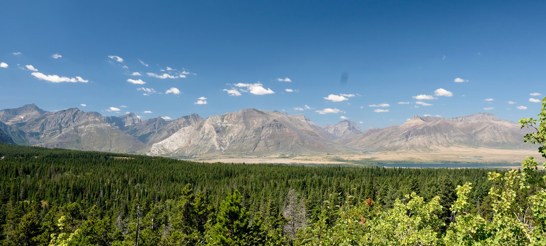
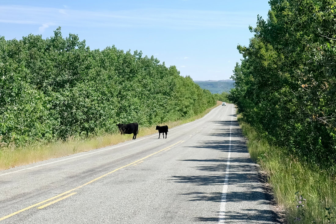
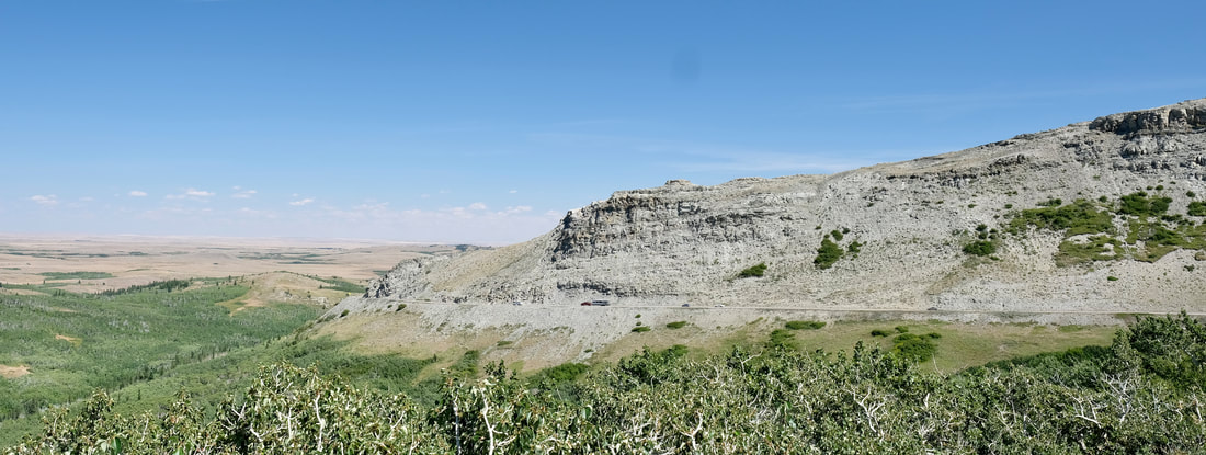
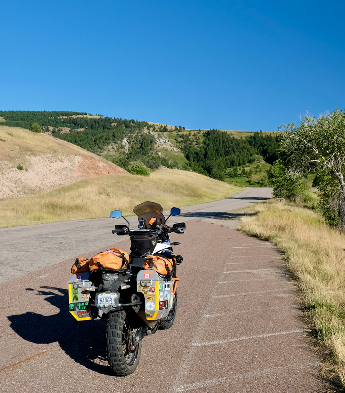
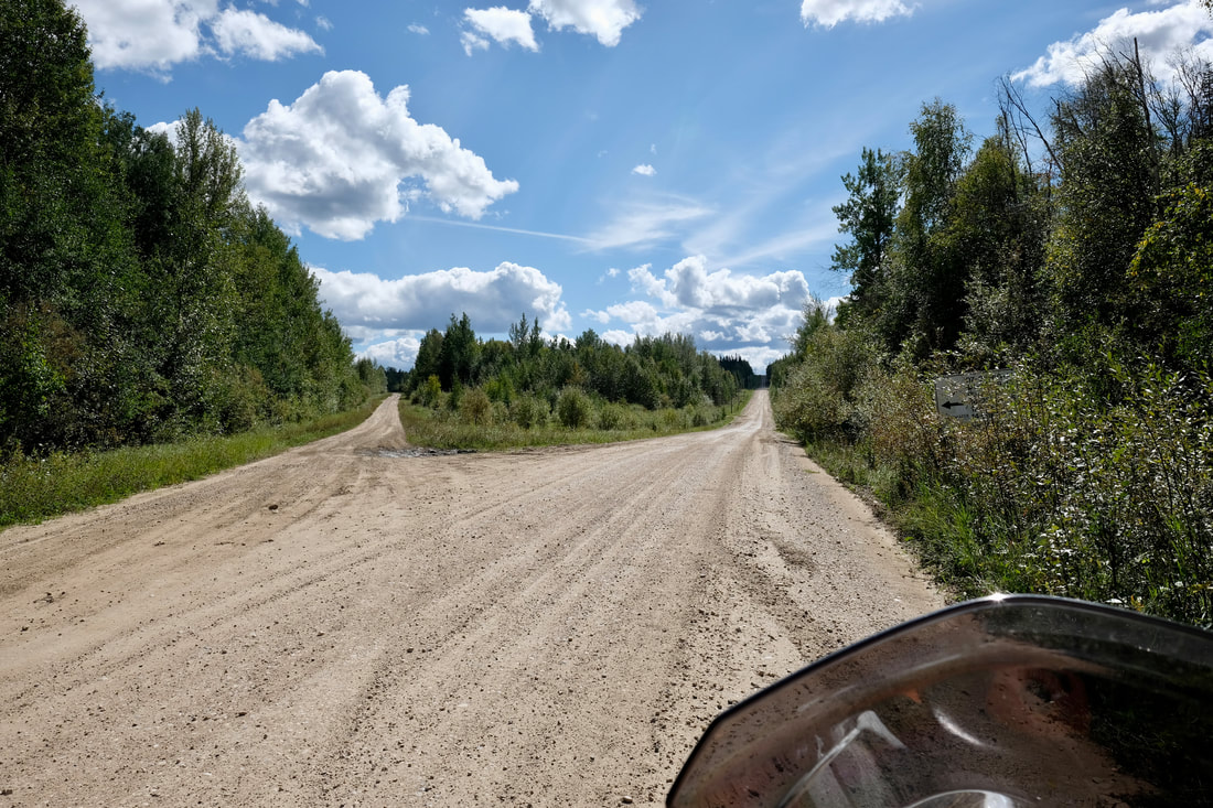
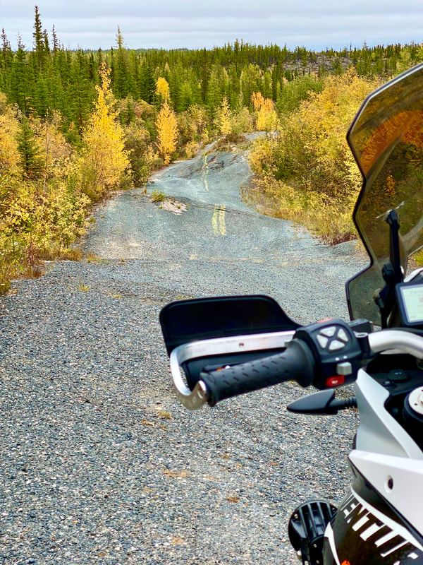
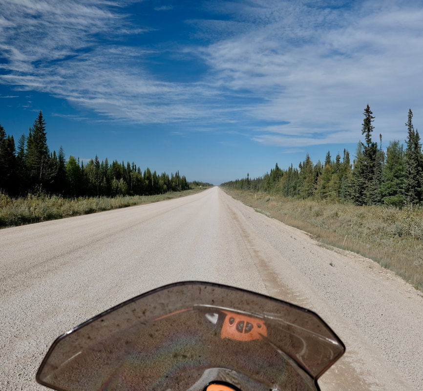
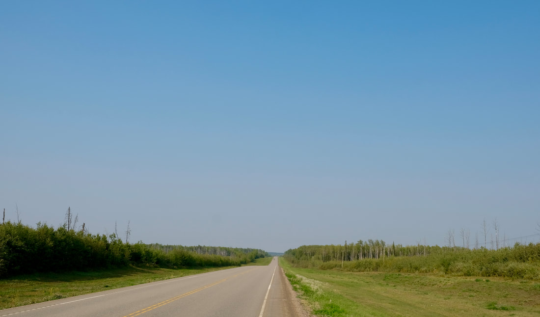
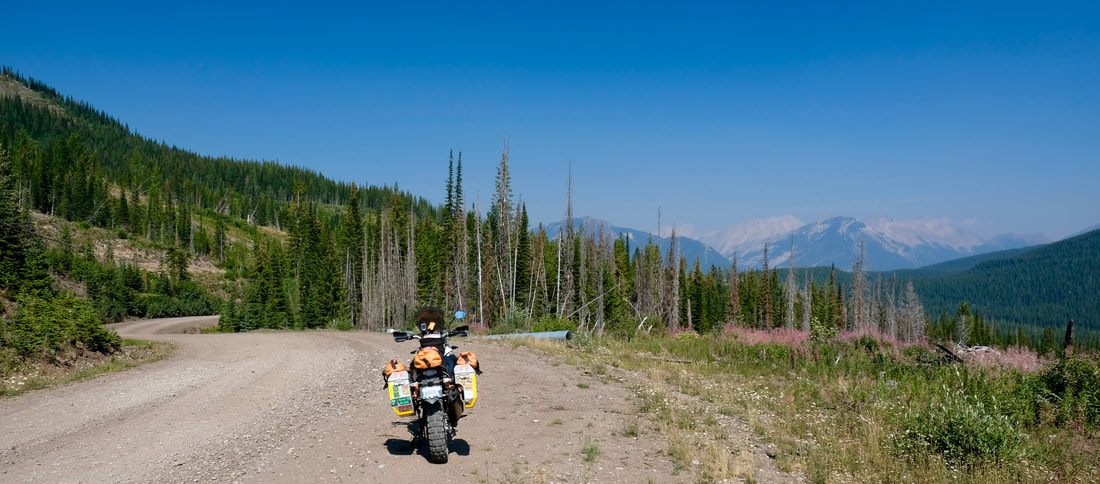
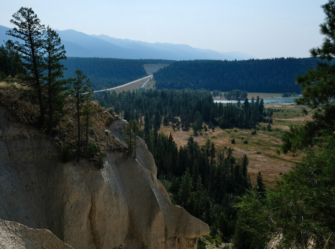
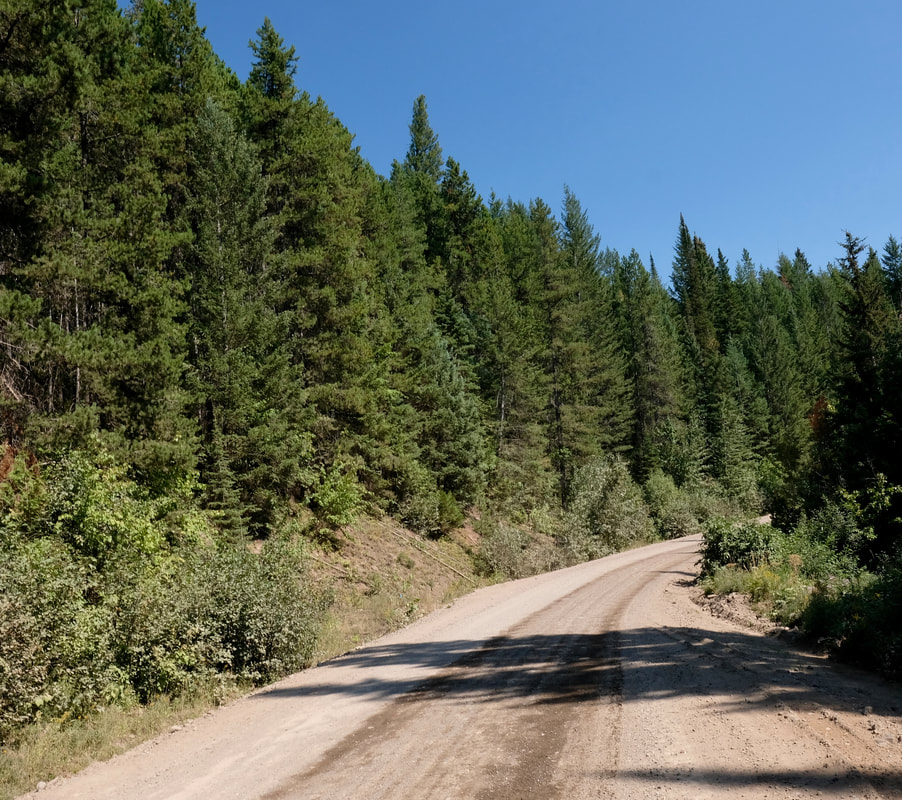
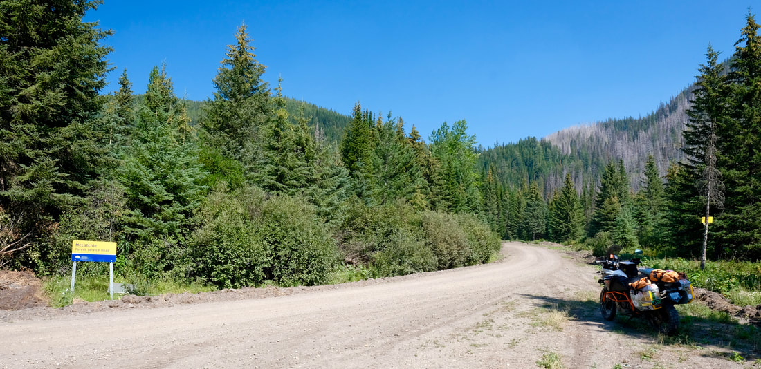
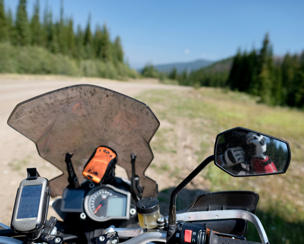
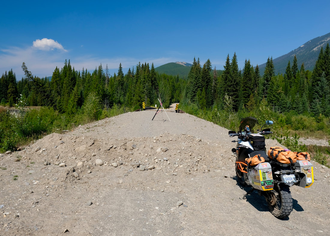
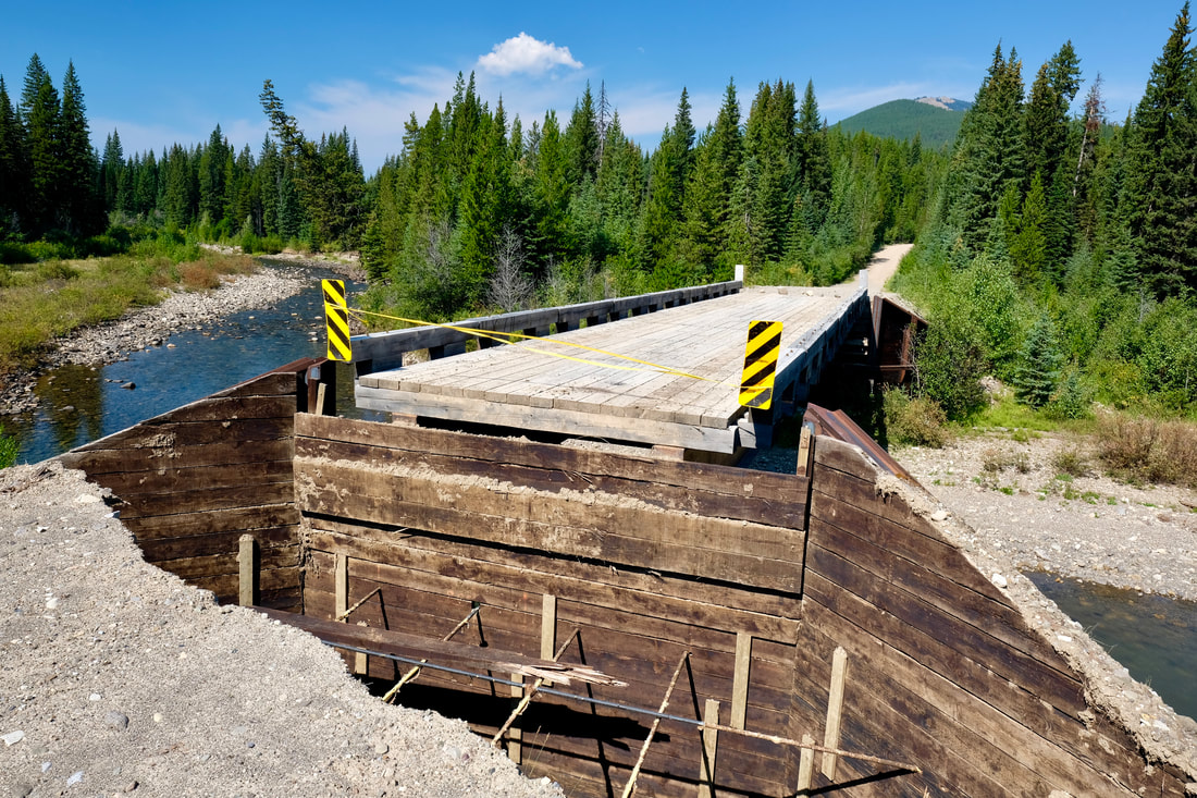
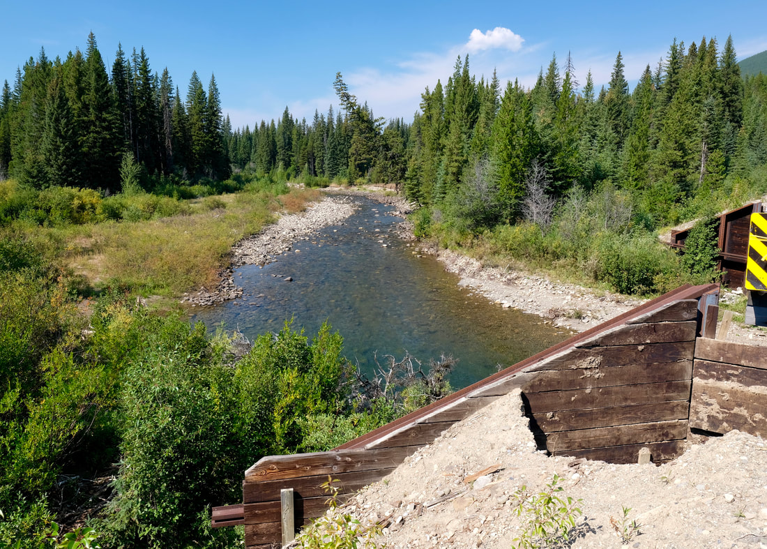
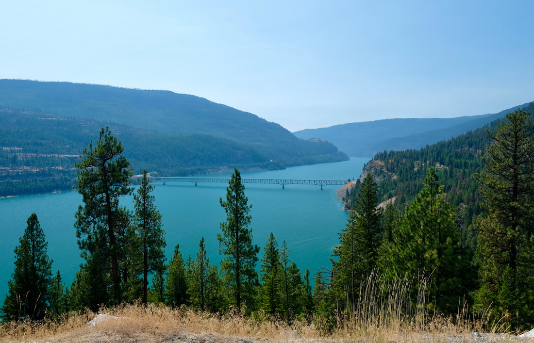
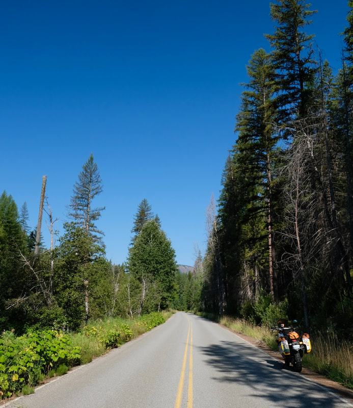
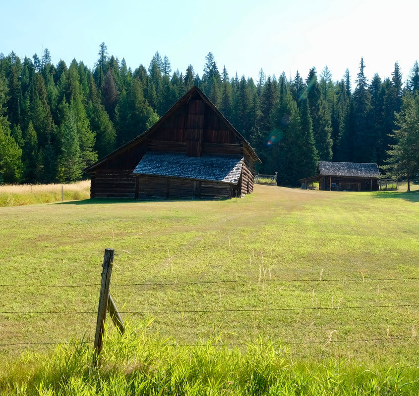
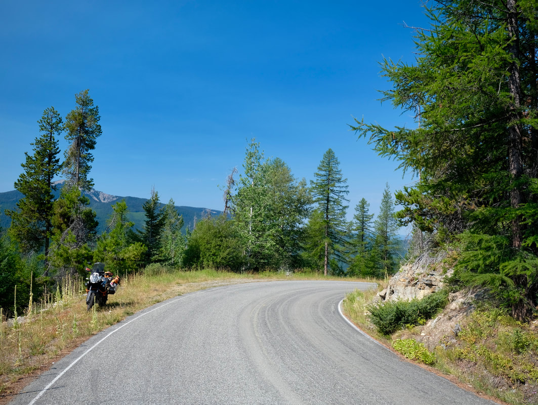
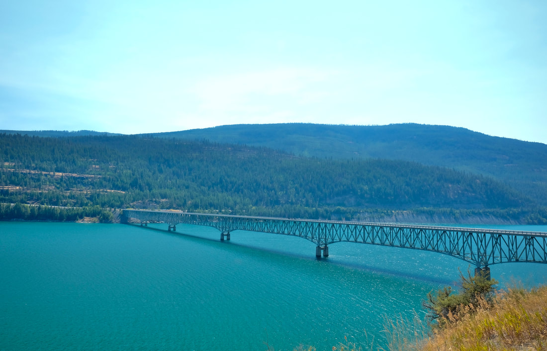
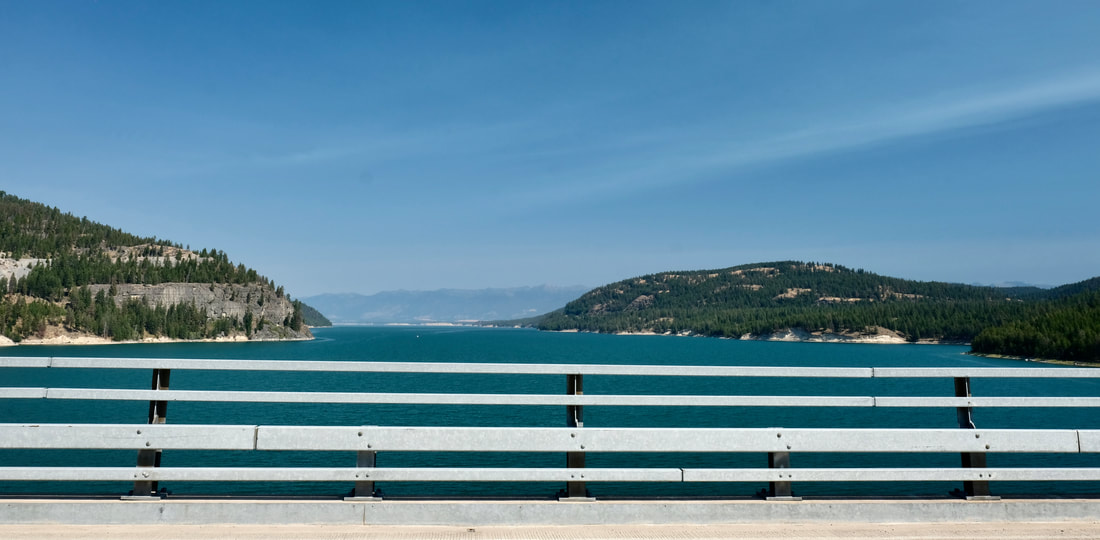
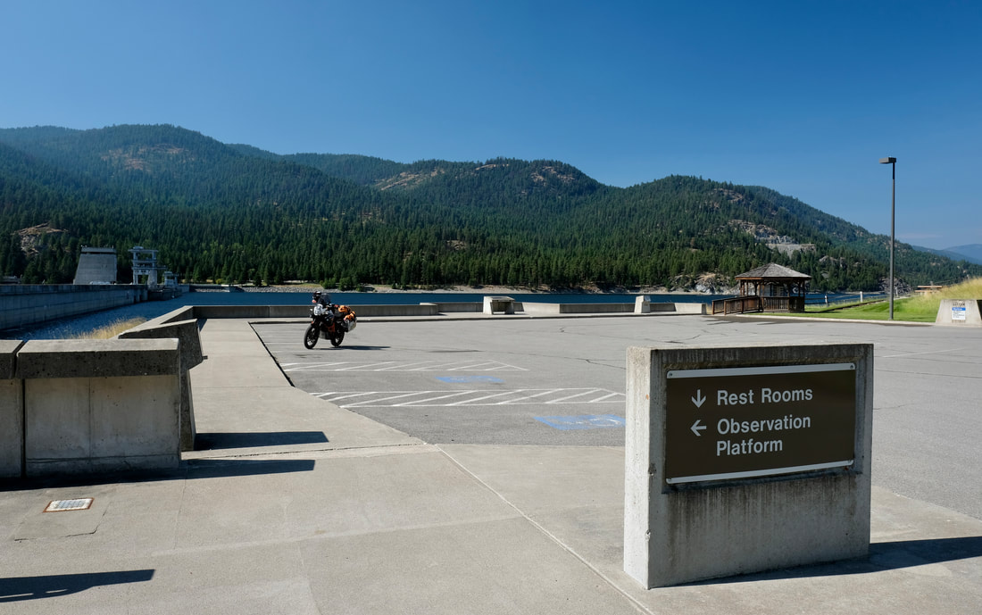
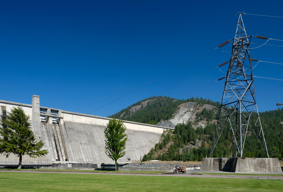
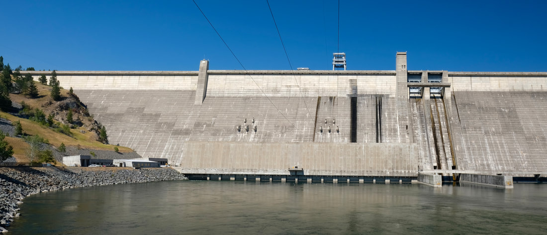
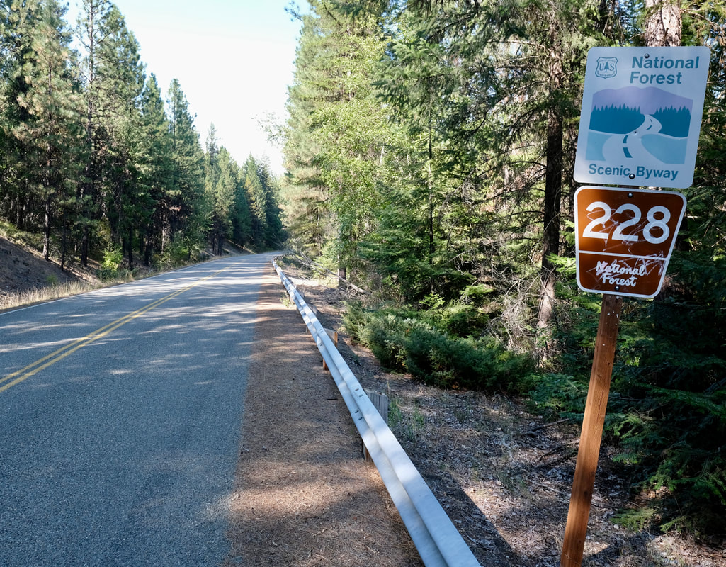
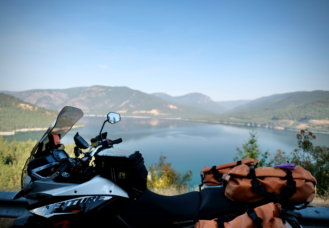
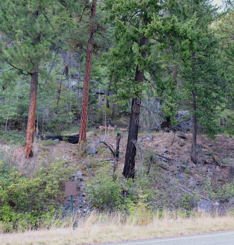
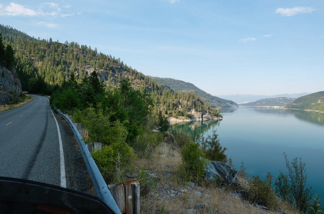
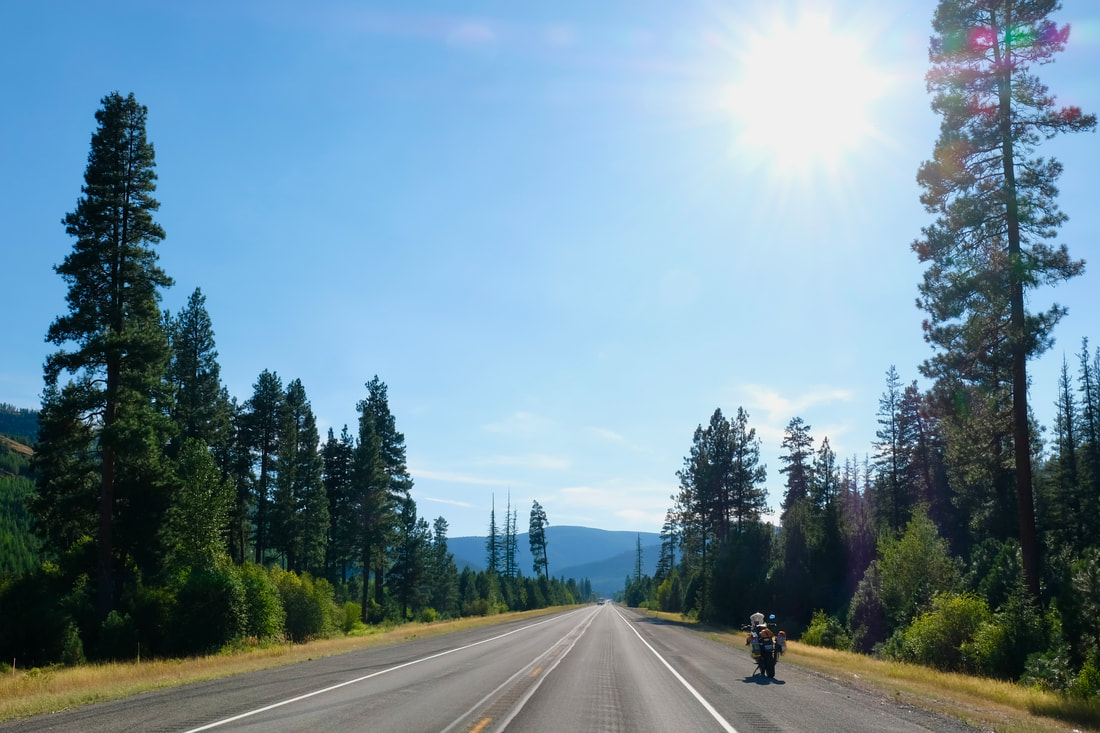
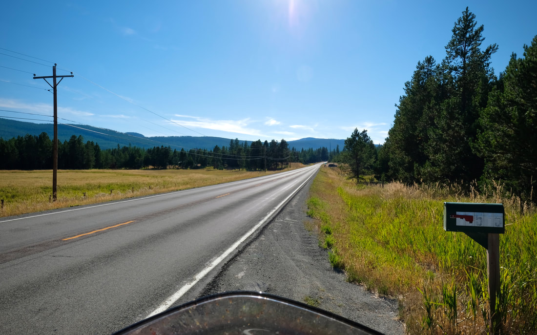
| Initially, the other side of the border didn't look any different, except, of course, for signage changing to miles. But still: Trees, mountains, road. I followed Butler Maps' recommendations and hugged west, with a slight detour in order to ride the gold-highlighted 49 into East Glacier. It was a twisty mountain two-lane road, with steep drop-offs and no guardrails, and an uphill cycling event happening as I was descending from the summit. I coasted a lot of it, watching my engine oil temperature drop, being cyclist. | 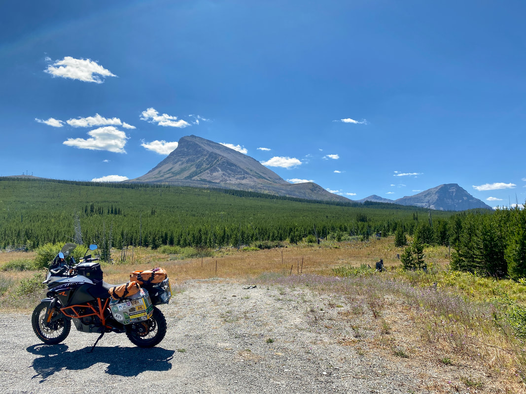 |
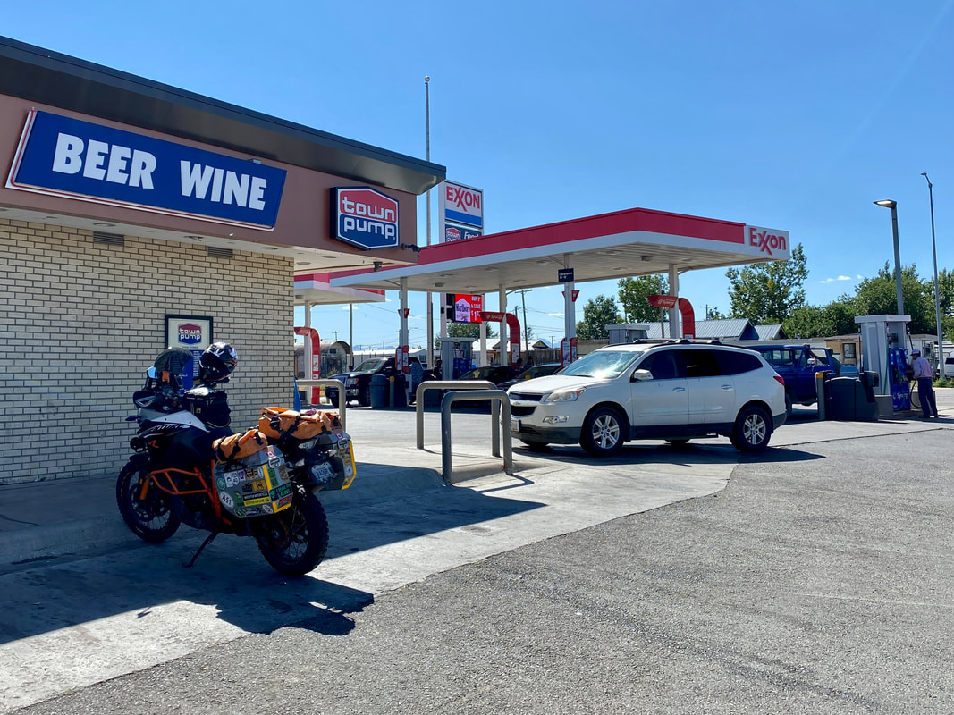
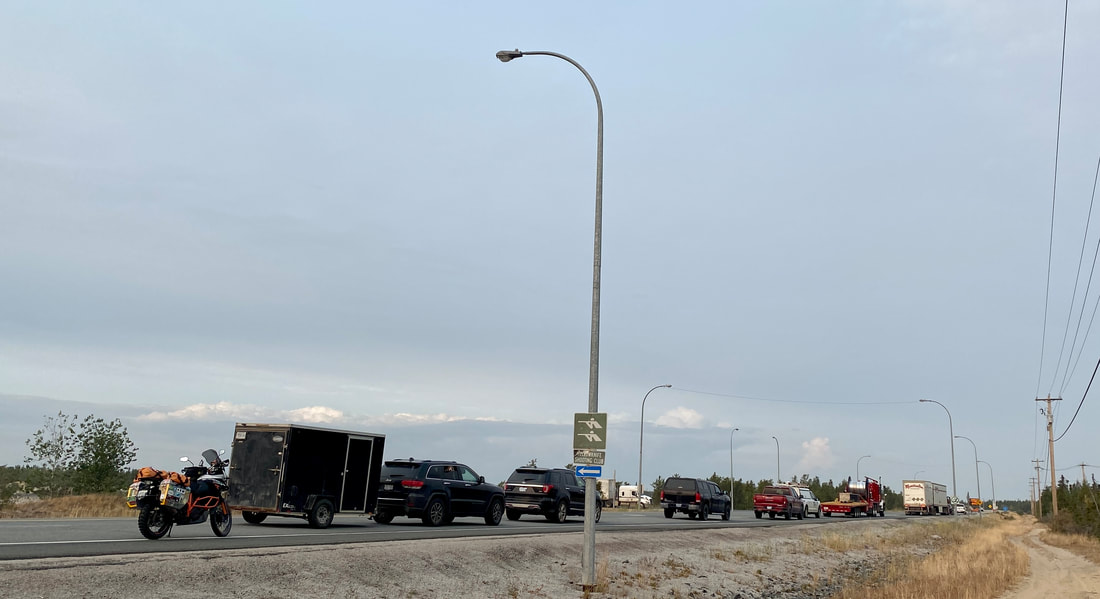
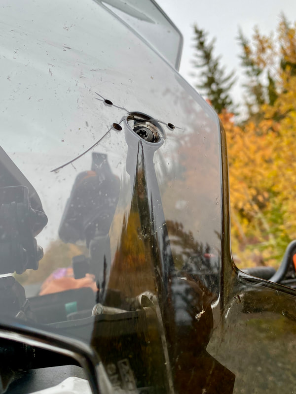
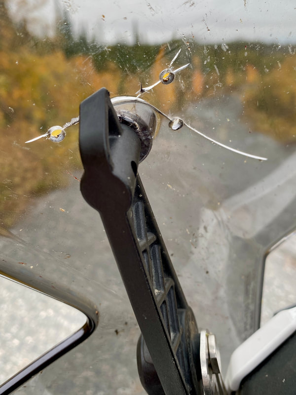
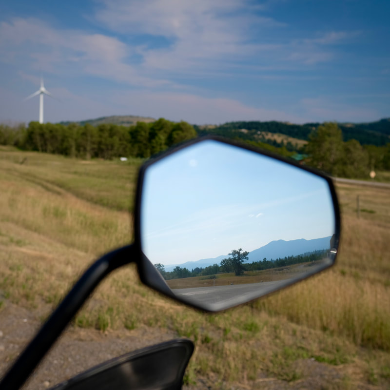
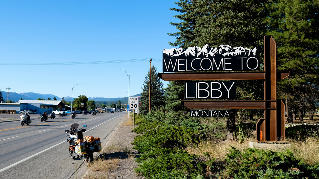
Arriving in Browning for a gas stop, it started to feel more U-S-A as I saw signs (literal signs) blaring: "Meth: Not Even Once," "Montanans Are Used To Long Roads: We Can Beat The Opioid Crisis," and an enormous 18-day old baby crawling with a dress on. Out of the city, I also noticed an excess of signs warning motorcyclists to rethink riding on that road ("Attention Motorcyclists: Paved Surface is Intermittent," "Road Work Ahead: Motorcyclists Consider Alternate Routes") which were universally unsupported by the actual road condition -- so I'm not sure if the liability lawyers are running the highways signage department at Montana DOT or what.
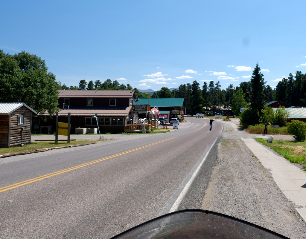
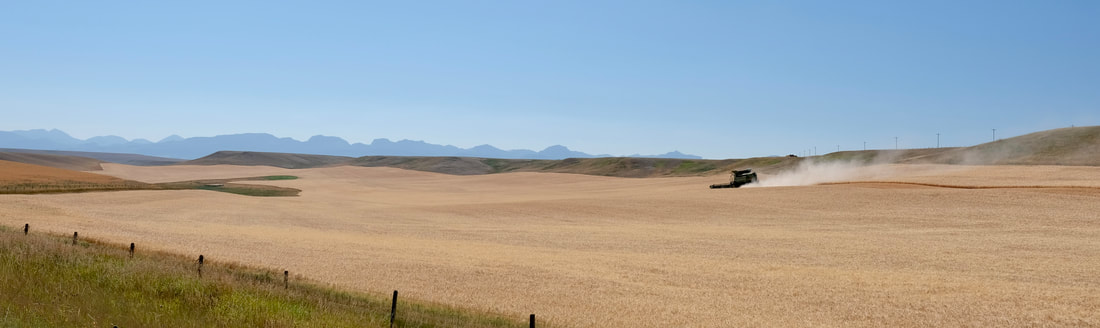
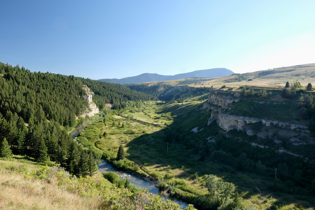
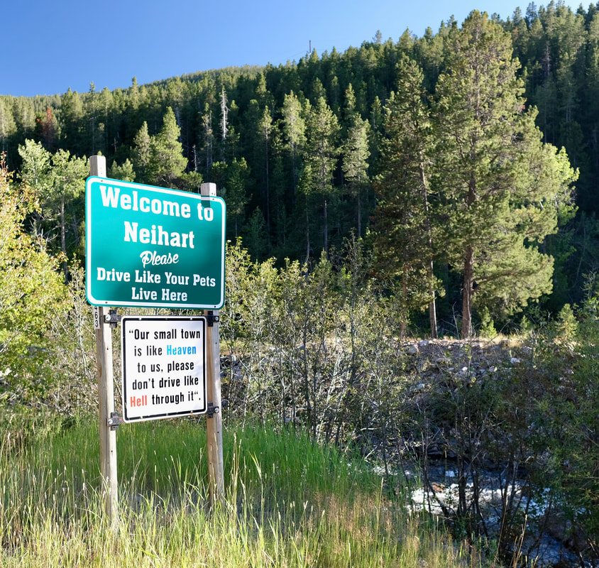
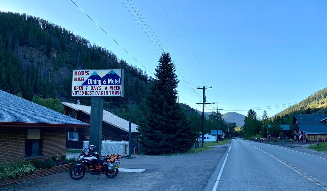
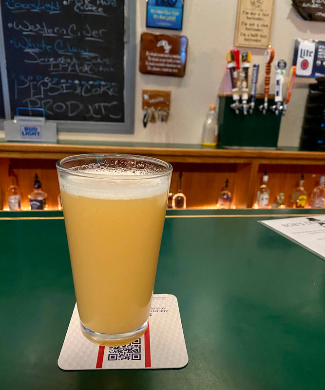
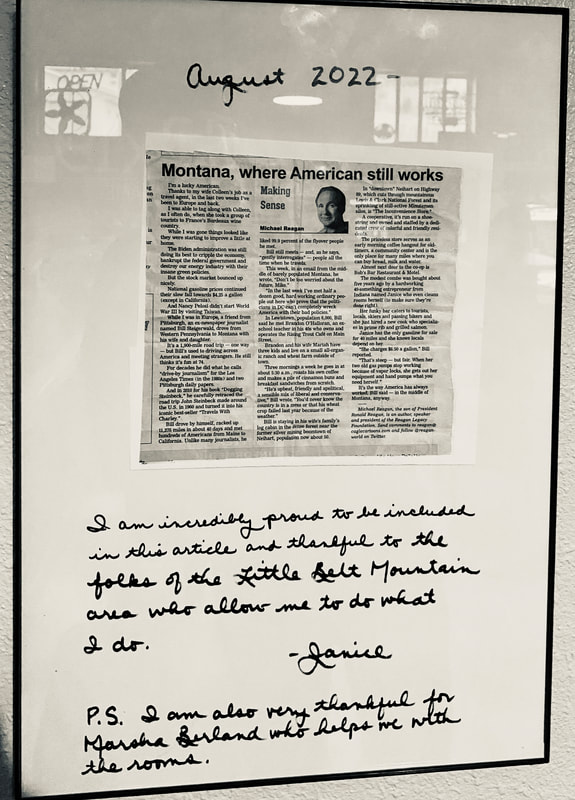
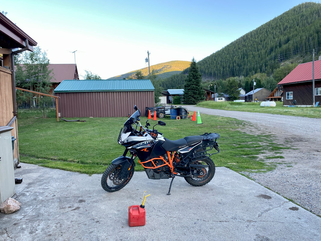
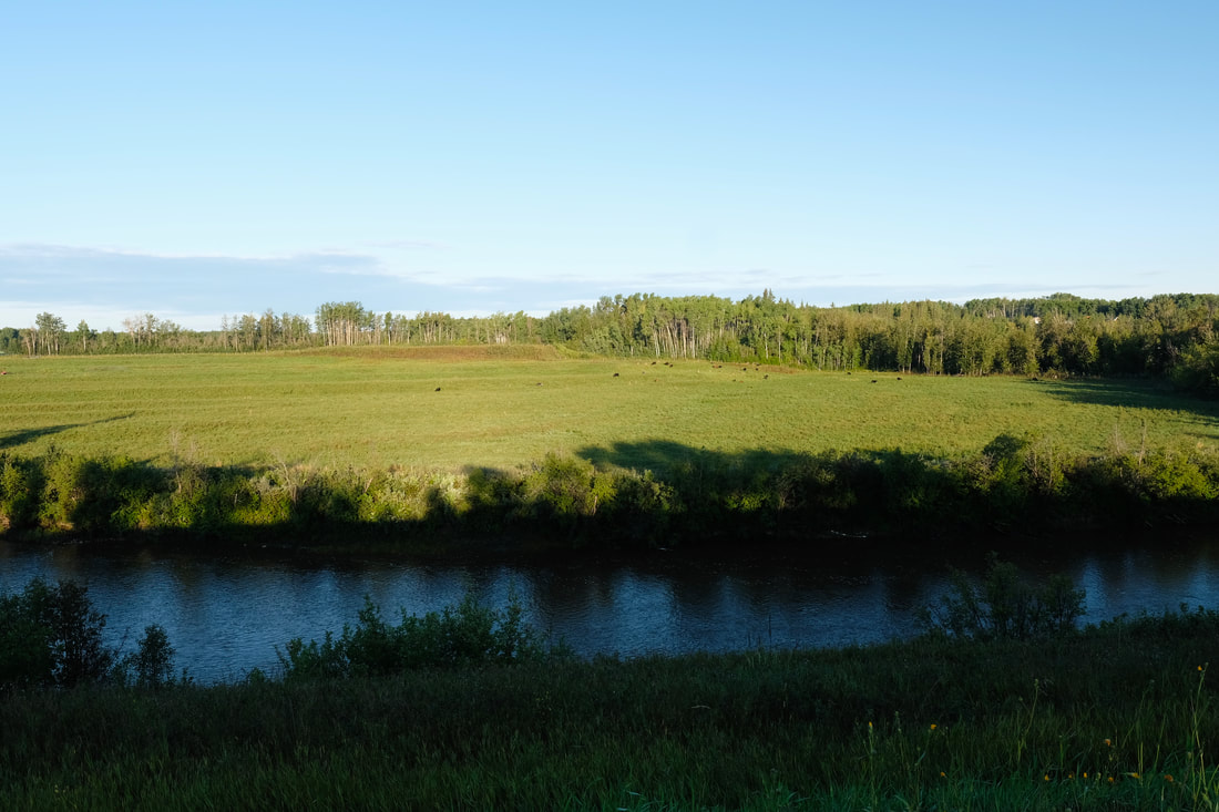
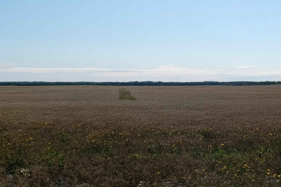
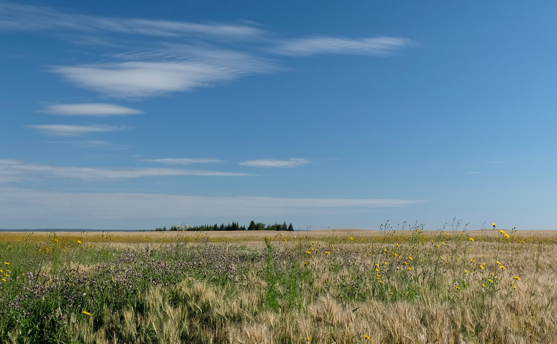
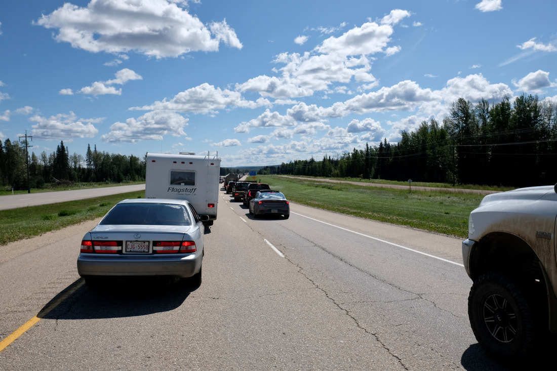
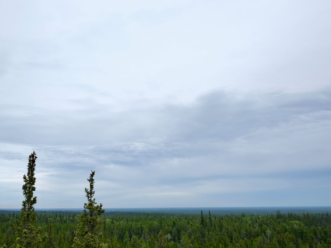
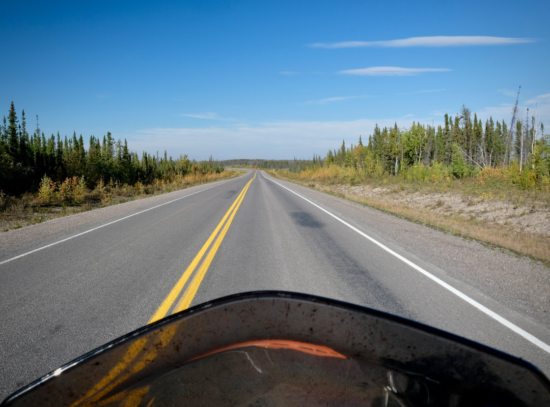
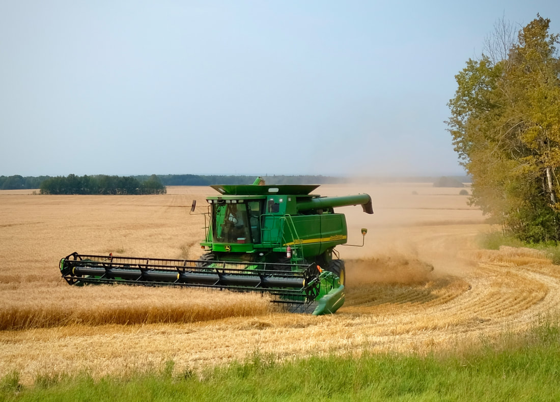
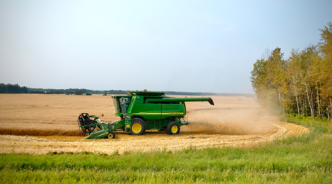
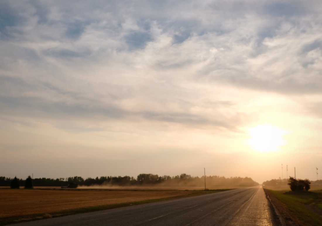
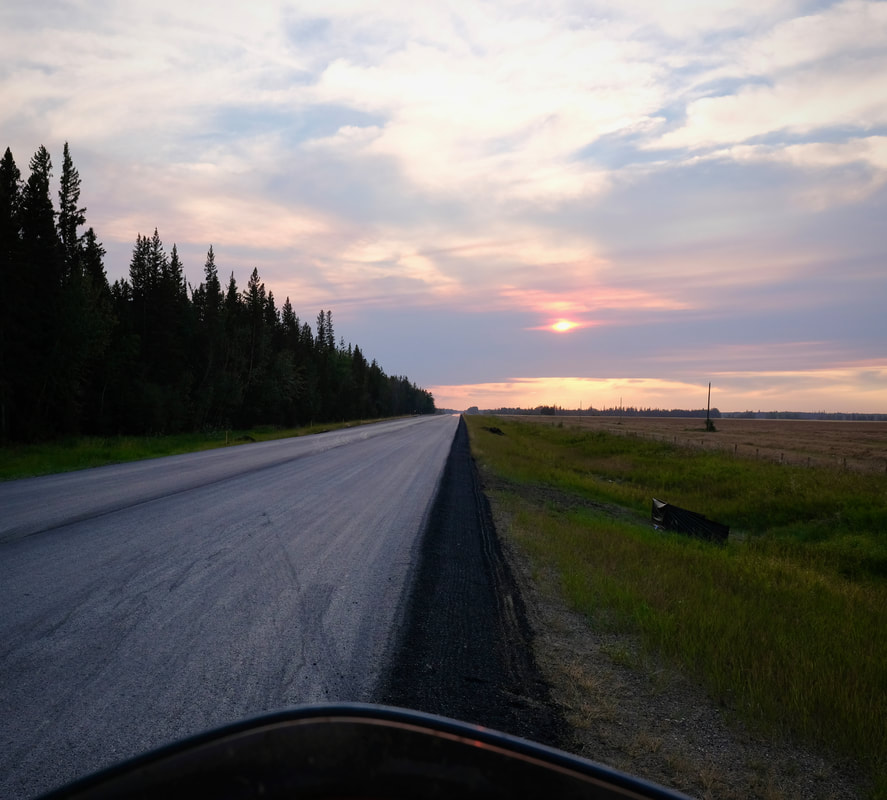
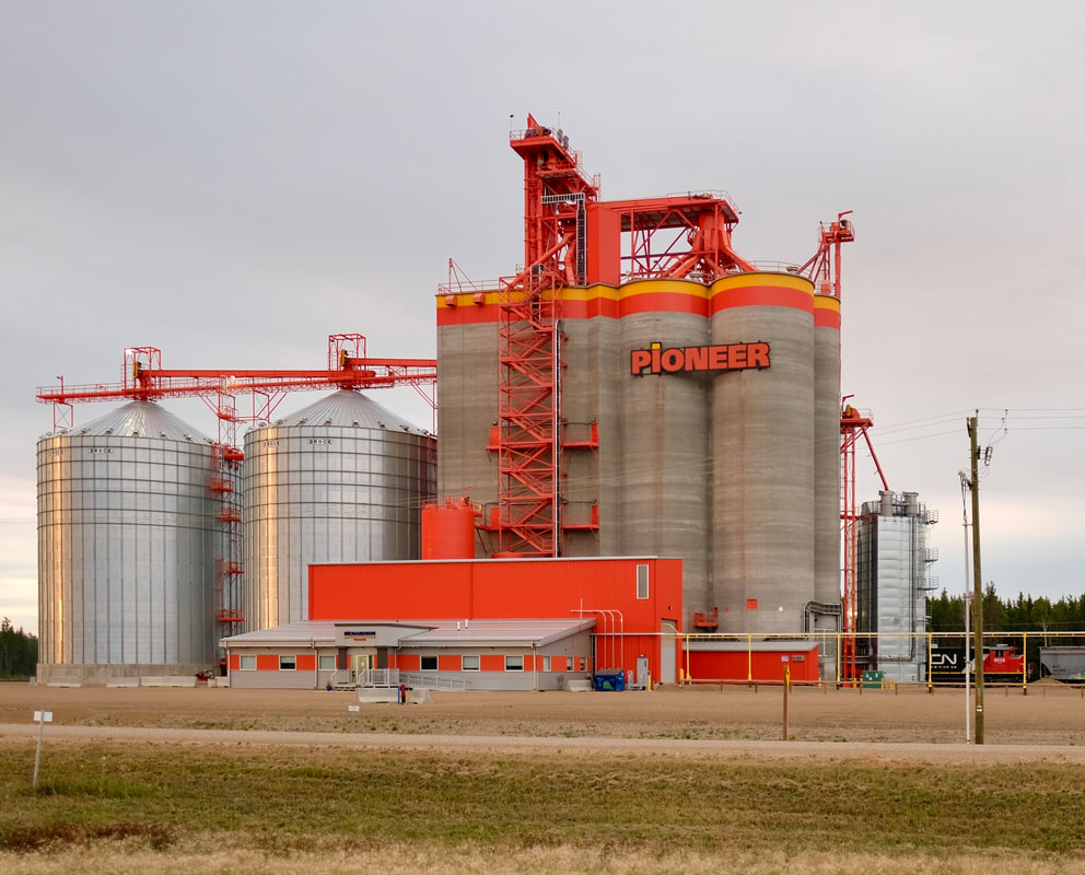
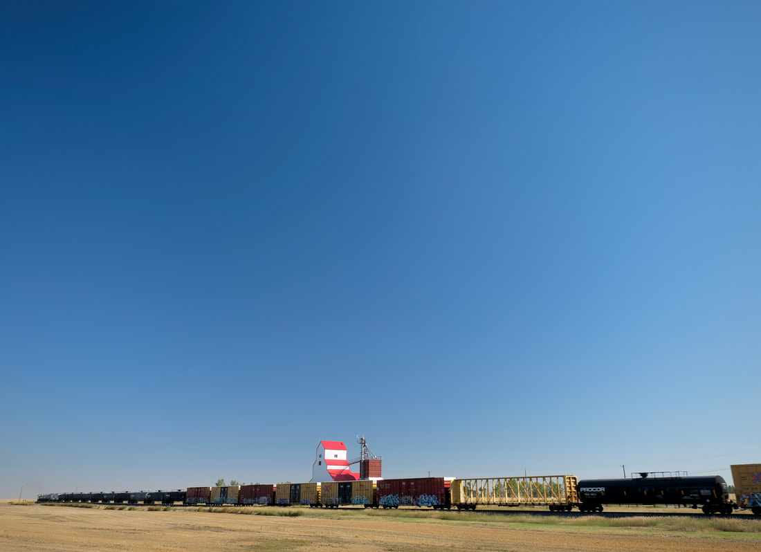
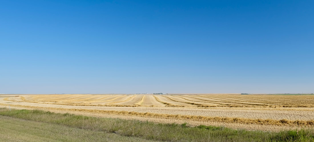
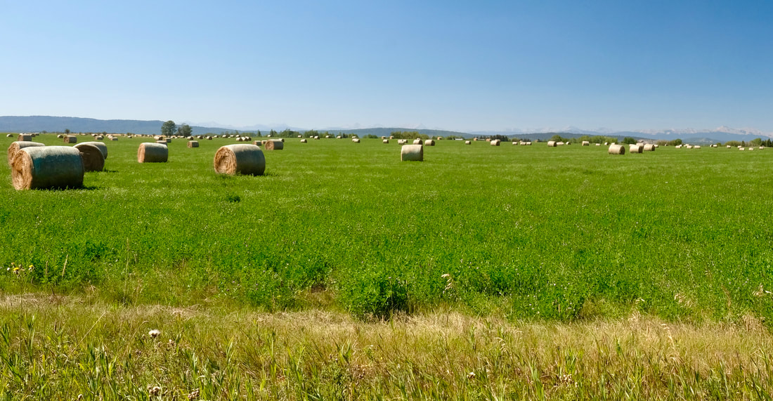
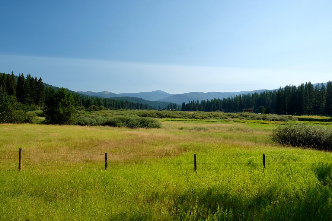
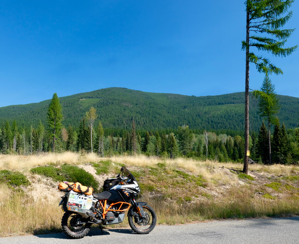
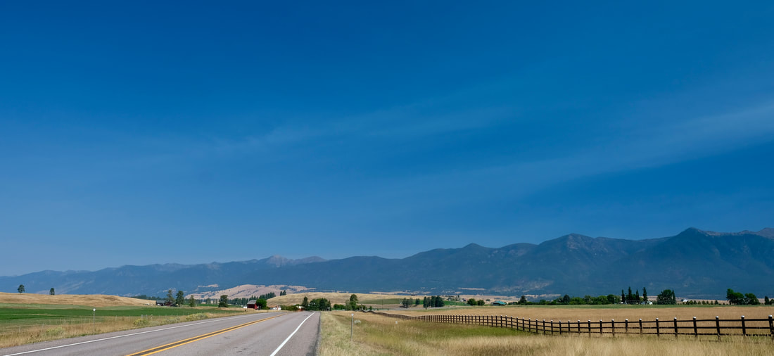
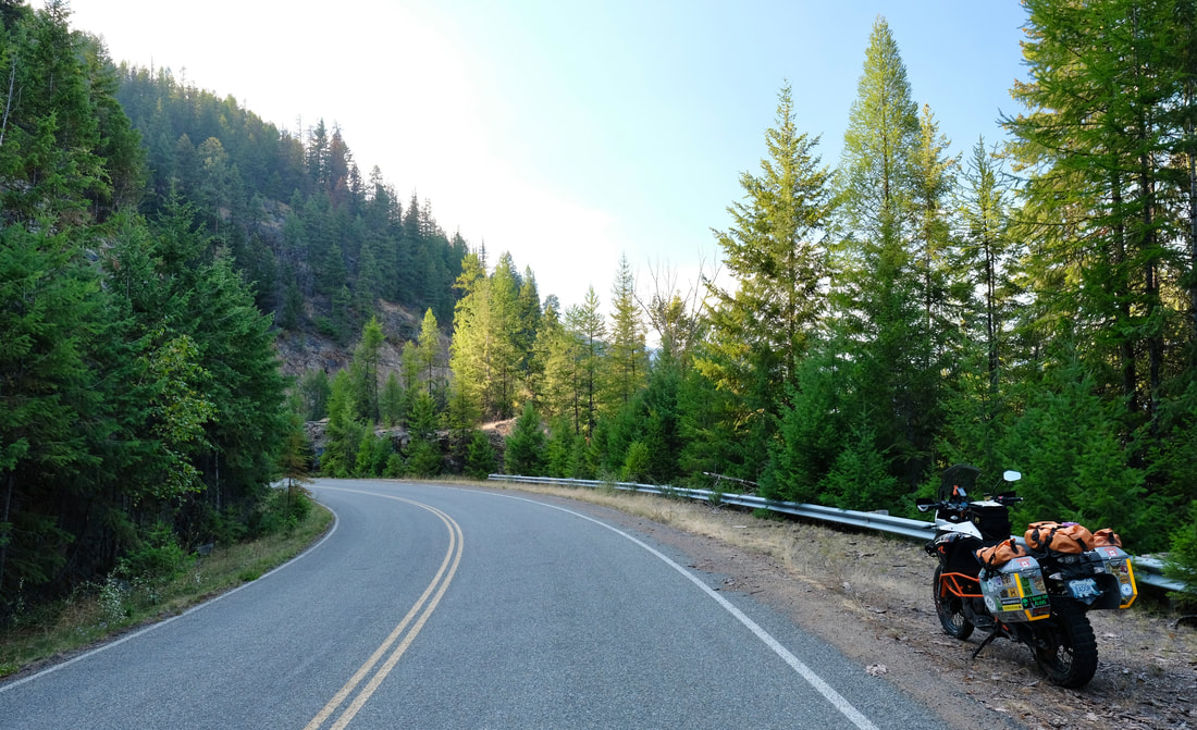
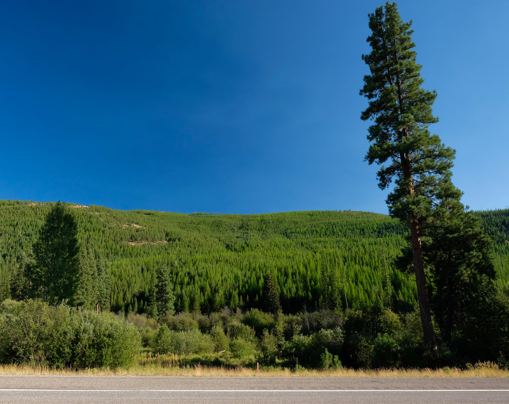
The rest of the day was less in-the-mountains than I expected, as I trended southeast, with the front range of the Rockies always visible off to my right, but the highway rolling through farm country, in various mixtures of blue sky, rolling grassy hills, and rolling golden grain fields. Through Great Falls traffic, then I hung a south, continuing still on the 89 down into the Lewis and Clark National Forest (smells so good) and the little roadside town of Neihart (pop. 40) for the night.
The rest of the day was less in-the-mountains than I expected, as I trended southeast, with the front range of the Rockies always visible off to my right, but the highway rolling through farm country, in various mixtures of blue sky, rolling grassy hills, and rolling golden grain fields. Through Great Falls traffic, then I hung a south, continuing still on the 89 down into the Lewis and Clark National Forest (smells so good) and the little roadside town of Neihart (pop. 40) for the night.
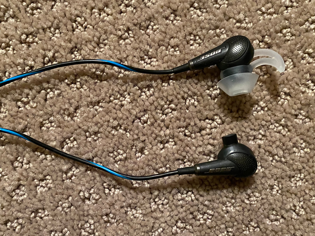
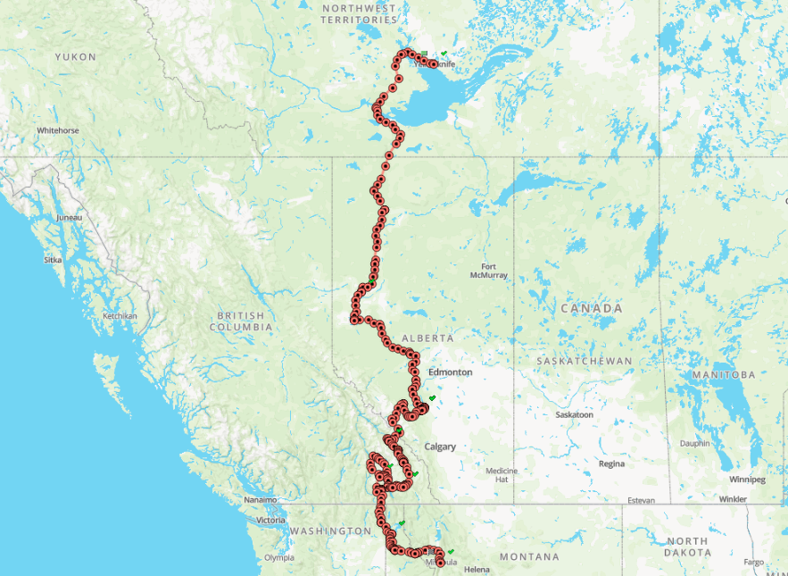
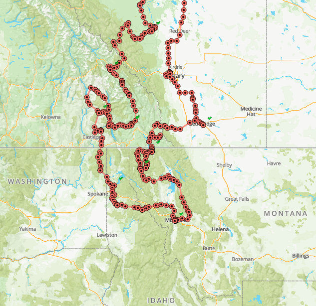
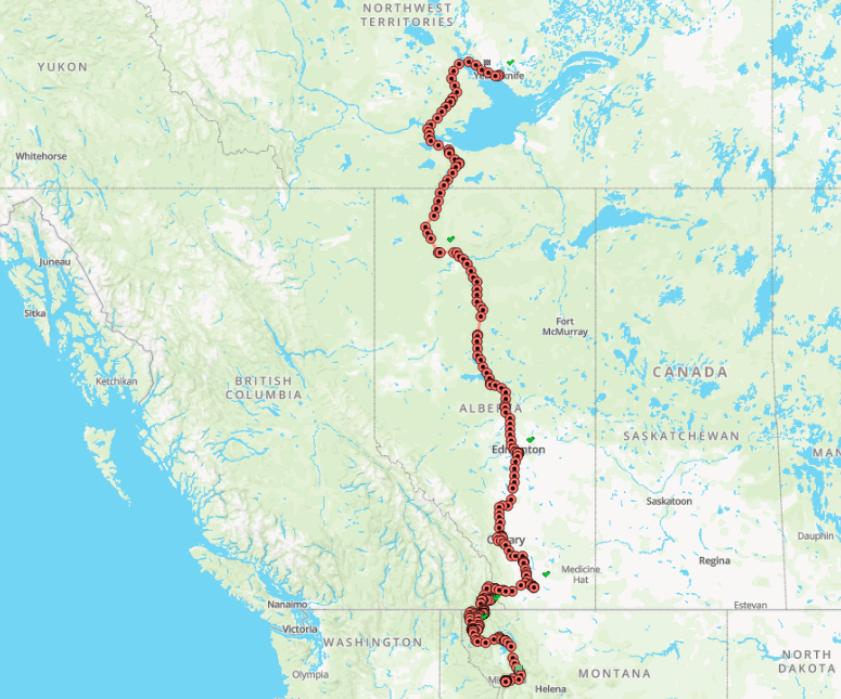
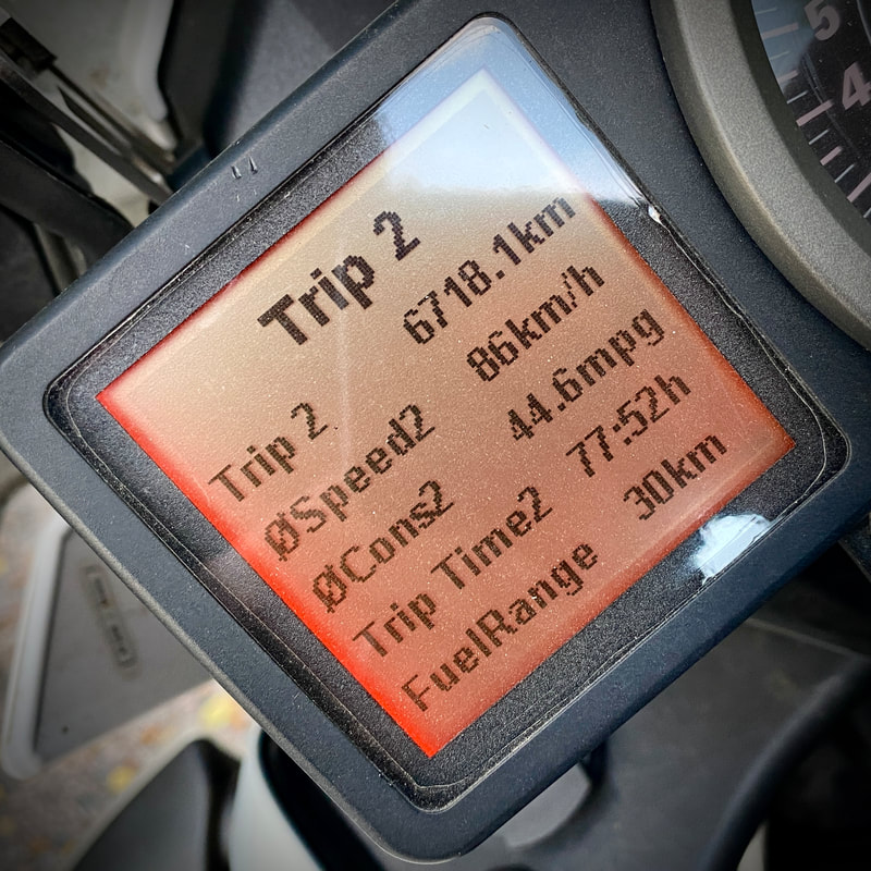
| Day total: 608 km, 8h55m Trip total: 2,453 km | Start: Turner Valley, AB. End: Neihart, MT. Soundtrack: No earbud tip, no music, flip! |