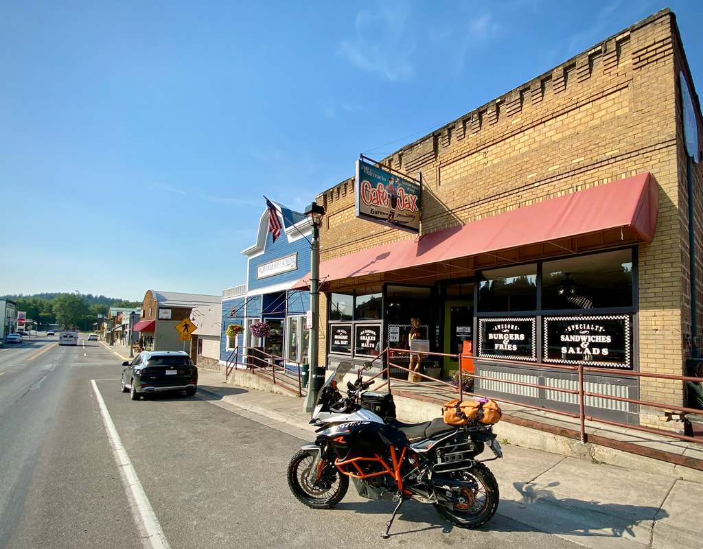
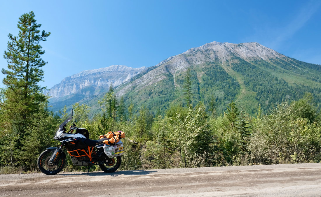
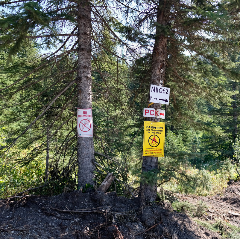
| After an attempted sleep-in after last night's windstorm, I retrieved my plastic patio chair off the front lawn, and made a quick backtrack 10 minutes south on 93 to Cafe Jax in Eureka, a classic old-school diner where service is still a very real concept, and where I found the best pancake breakfast of my trip. (The grey-haired server dude divulged that vanilla in the batter is the secret to keeping mega pancakes mega fluffy.) | 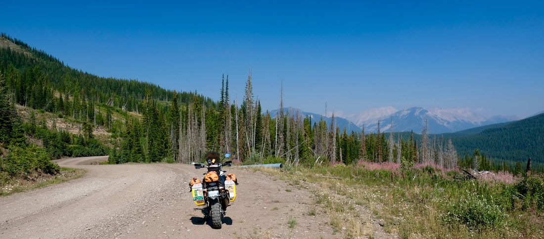 Living the good life along McLatchie FSR. |
As I was donning my helmet to leave the cafe, I heard a voice calling out, "What part of the Territories are you from?" It turned out to be an old-timer miner who had pulled into the parking spot behind me, arriving with his wife for breakfast. He explained that he was originally from northern Ontario but now the Eureka area had been home for 40 years, but he had friends and family connections to Yellowknife and was curious what was happening these days at Giant and Con -- which were Yellowknife's two largest gold mines, but are no longer in operation.
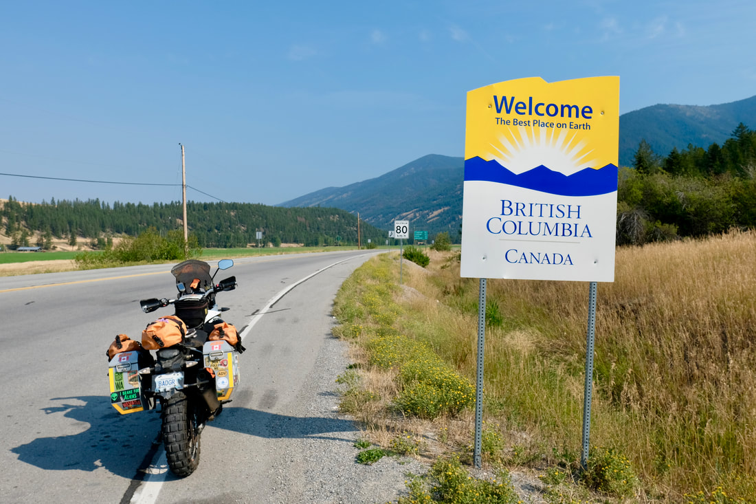
Departing north, within five minutes I arrived at Roosville Border Crossing, where I had an interesting chat with the 30-something Canadian border guard as he looked at an image of Badger's rear end from his air-conditioned booth.
Geography shaming aside, re-entry to Canada was smooth. I had filled out the ArriveCAN app the night before, and wasn't sure whether I needed to organize a printed copy of my QR code and/or my proof-of-vaccination, but it turned out that my electronic submission came up seamlessly via my passport number in their computer, so I didn't have to produce anything else in person.
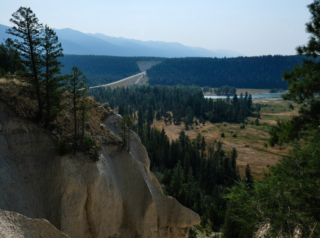
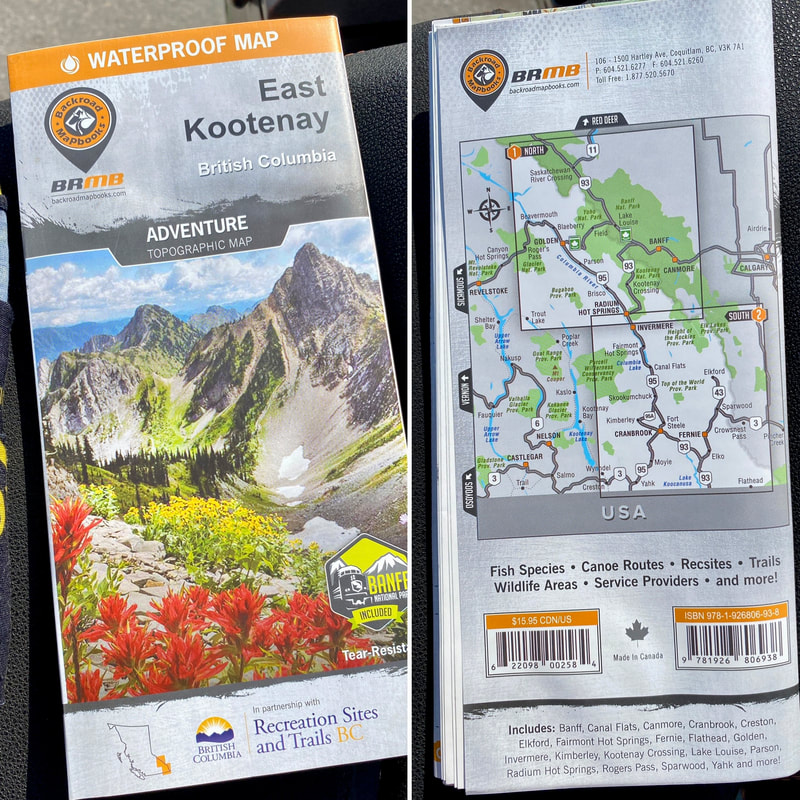
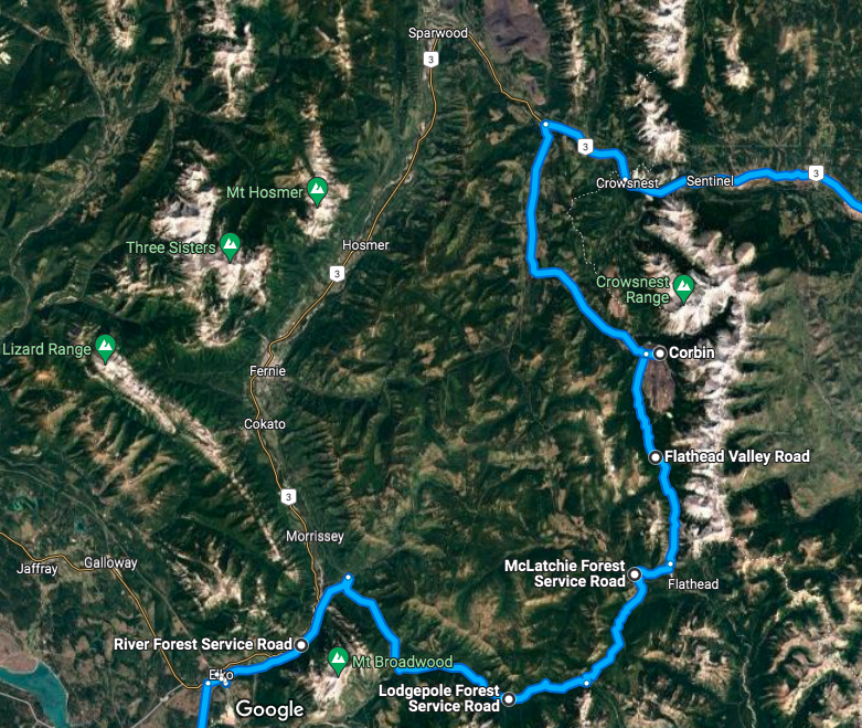
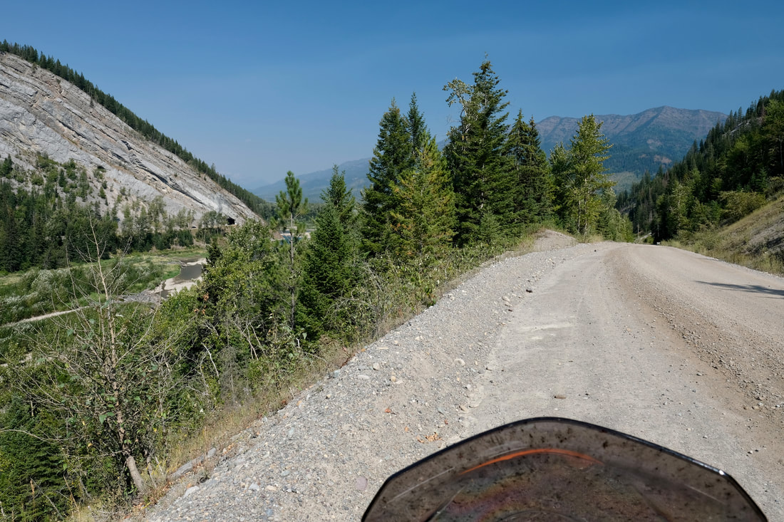
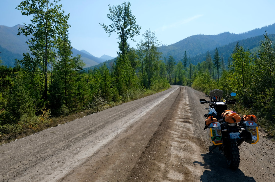
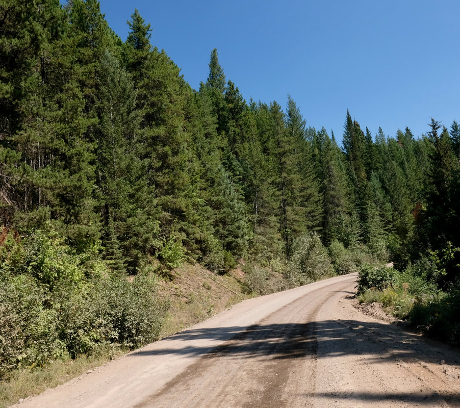
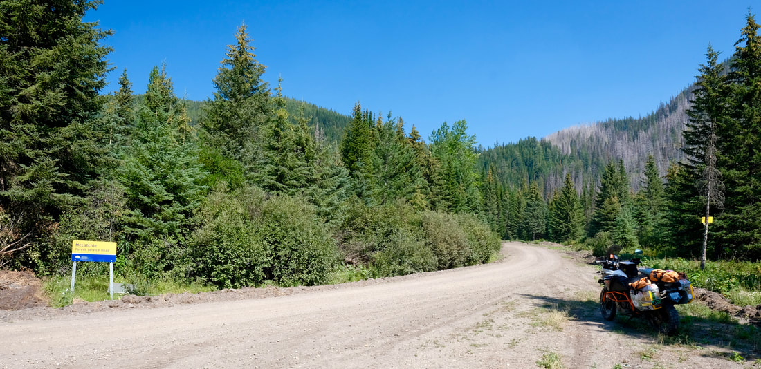
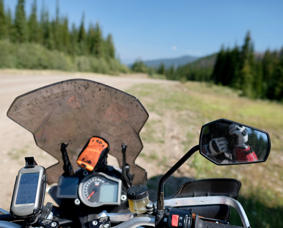
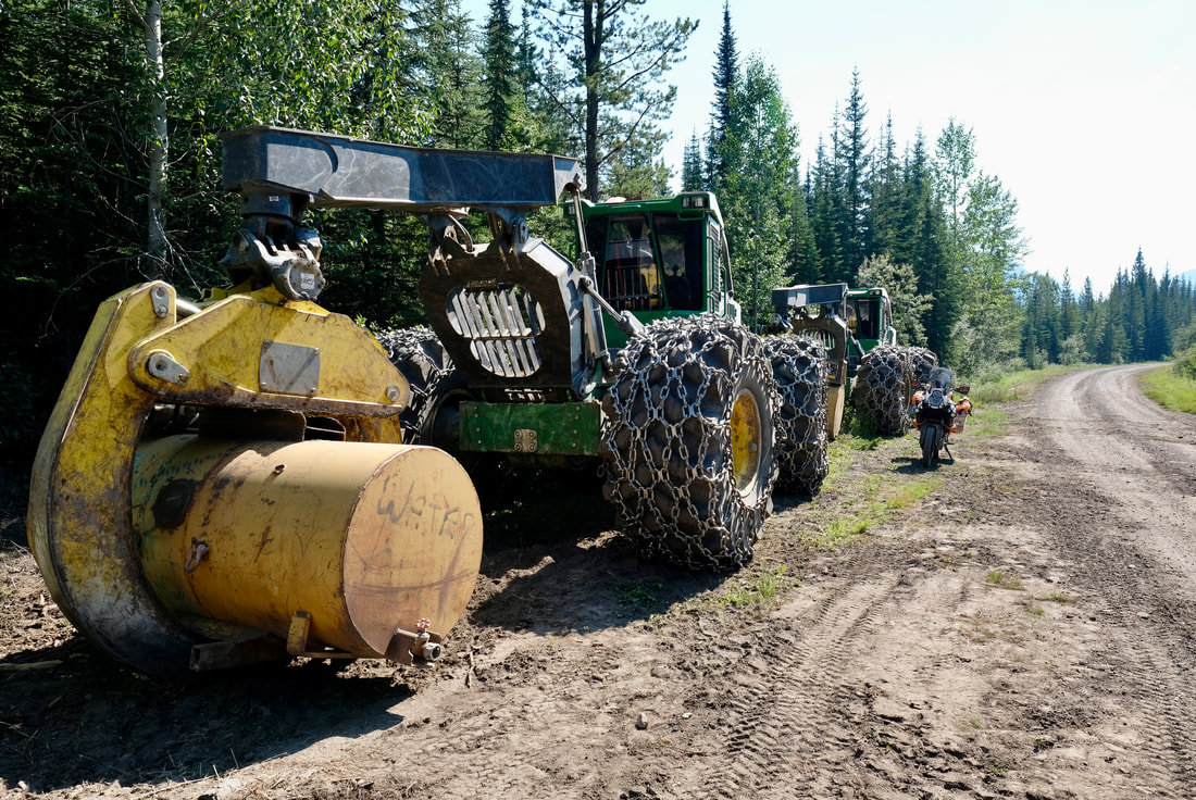
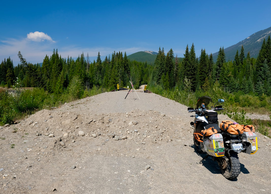
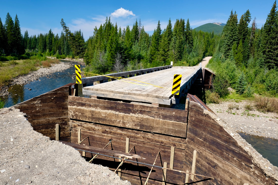
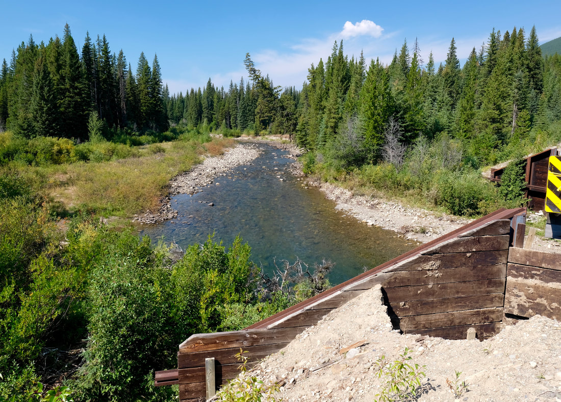
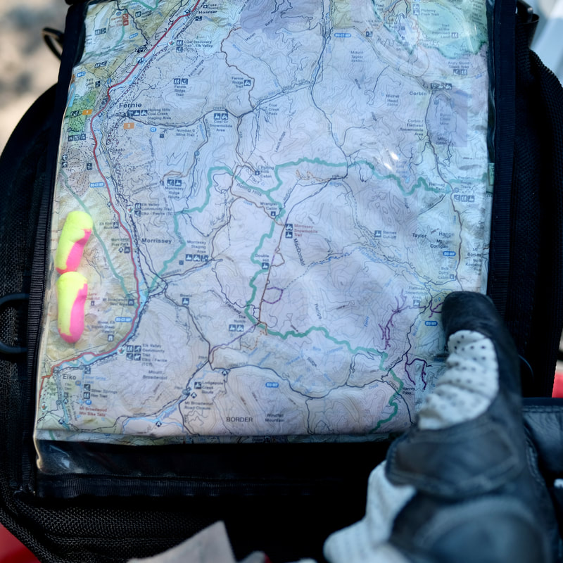
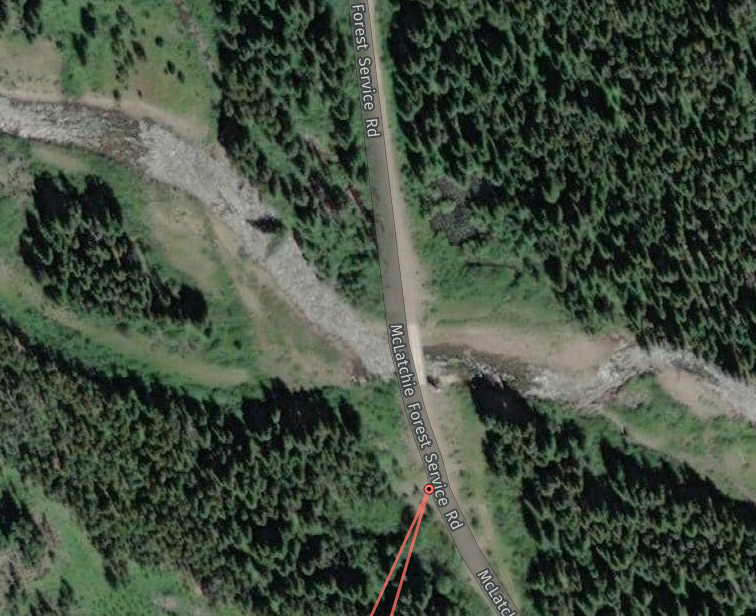
North into BC, I came to Elko, where I re-stocked on hydration fluids, and scored a Backroads Mapbook map which extended across the eastern Kootenays -- exactly what I needed to be able to responsibly pursue a forest service road (FSR) route from Elko to Fernie or even all the way to Crowsnest Pass, as an alternative to pounding Highway 3 in summer traffic and to fill out the afternoon before a targeted late afternoon arrival at a friend's place. A local guy-on-bicycle doing his morning routine at the backside of the gas station gave me good directions to the bridge at the back of Elko town, and from there Garmin again impressed with its FSR route-generation capability as I was getting acclimatized to the scale of my new map while following along. I left Elko northeast-bound on River FSR (frequently seeing the highway traffic just across the river). Oncoming truck traffic became active and heavy after I hung a right on Lodgepole FSR, continuing east and a bit south until turning left at the fork up McLatchie FSR. After switchbacking up to 6,000 ft. ASL, I encountered a forestry worker in a pickup truck who stopped to tell me, "You should be in the clear now," as the final truck of their equipment-hauling convoy was now behind me. I was riding through beautiful mountain vistas now. I saw a couple of mechanics at some parked logging equipment, exchanged a wave and continued on, passing the Flathead snowmobiling access area, only to come around a corner to see a makeshift barricade and gravel berm across the road, warning that the bridge over the Flathead River was impassable. D'oh!
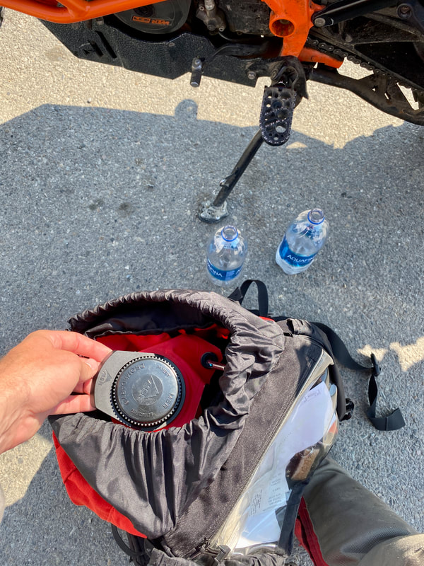
I assessed options, quickly eliminating any thoughts of attempting a water crossing (alone, water several feet deep and flowing, vegetated shoreline on at least one side, etc.), deducting from my paper map that there were no alternate roads or trails across the river, and calculating that I had plenty of fuel to backtrack the 50 km to Elko but might not if I were to run into another obstacle along an alternative route or further along on the other side of the river -- which could hold who-knows-what. I must confess, I did momentarily flirt with the thought of offering my emergency $100 bill to those mechanics to help me manhandle Badger across the river, but like a responsible solo rider I shelved that fantasy for the relative security of a suck-it-up backtrack. So, the second half of the route, up the Flathead Valley Road to the old coal mine and ghost town of Corbin, and Corbin Road, will have to be explored sometime in the future, perhaps from the north side down. Despite the setback, I was glad that I tried this, and my helmet was filled with the recurring thought, "If riding this is my penalty, it's not such a bad day!" all the way back down to the Elk River and onto Highway 3 at Morrissey.
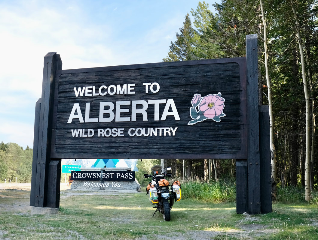
Traffic was heavy on the highway, bumper-to-bumper at times, from Fernie all the way to Crowsnest Pass, where I pit-stopped for a Magnum bar (gotta let that fuel tank depressurize: safety first) and gas.
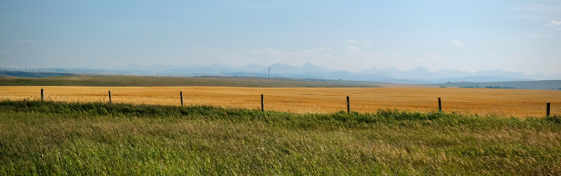
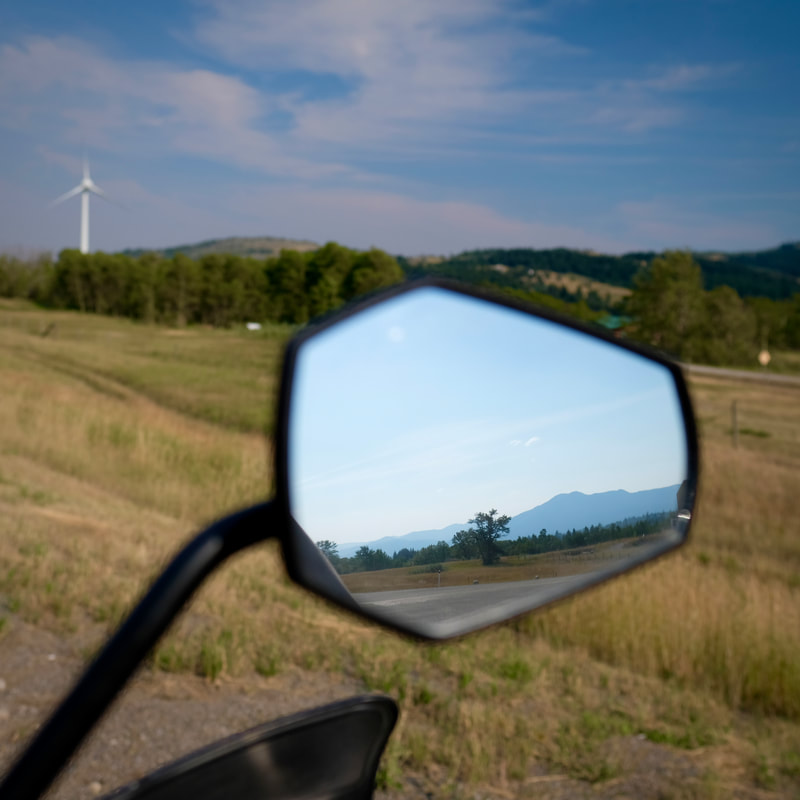
Traffic on Highway 3 lightened as I continued west past the 22 turnoff, which captured the majority -- presumably being Calgary-bound. I was treated to views of harvest and wind turbines as I emerged into a sunny late summer prairie scene-scape, and I said a slow farewell to the mountains as they gradually faded into the afternoon haze in my side mirror. The slab took me to Lethbridge where the pro-grade hospitality of an old work and Dempster-riding friend awaited.
Departing north, within five minutes I arrived at Roosville Border Crossing, where I had an interesting chat with the 30-something Canadian border guard as he looked at an image of Badger's rear end from his air-conditioned booth.
- CBSA guy: "So, is that your real license plate?"
- Me: [Assuming he was asking about Badger's personalized plated, as had the USA border guard] "Yes, it is."
- CBSA guy: "Like, the polar bear, that's your license plate? That's not like a sticker or something?"
- Me: "No, no, that's my plate. It's just a personalized plate."
- CBSA guy: "Northwest Territories?" <pause> "But, I mean, you can't even drive there, right?"
- Me: "Uh, yessssssssssss?" [Really concentrating on my situational awareness to not be mouthy.]
- CBSA guy: "Oh, is it Nunavut then, that there's no roads going to it?"
- Me: "Yes, that is true. You must have just mixed them up."
Geography shaming aside, re-entry to Canada was smooth. I had filled out the ArriveCAN app the night before, and wasn't sure whether I needed to organize a printed copy of my QR code and/or my proof-of-vaccination, but it turned out that my electronic submission came up seamlessly via my passport number in their computer, so I didn't have to produce anything else in person.
North into BC, I came to Elko, where I re-stocked on hydration fluids, and scored a Backroads Mapbook map which extended across the eastern Kootenays -- exactly what I needed to be able to responsibly pursue a forest service road (FSR) route from Elko to Fernie or even all the way to Crowsnest Pass, as an alternative to pounding Highway 3 in summer traffic and to fill out the afternoon before a targeted late afternoon arrival at a friend's place. A local guy-on-bicycle doing his morning routine at the backside of the gas station gave me good directions to the bridge at the back of Elko town, and from there Garmin again impressed with its FSR route-generation capability as I was getting acclimatized to the scale of my new map while following along. I left Elko northeast-bound on River FSR (frequently seeing the highway traffic just across the river). Oncoming truck traffic became active and heavy after I hung a right on Lodgepole FSR, continuing east and a bit south until turning left at the fork up McLatchie FSR. After switchbacking up to 6,000 ft. ASL, I encountered a forestry worker in a pickup truck who stopped to tell me, "You should be in the clear now," as the final truck of their equipment-hauling convoy was now behind me. I was riding through beautiful mountain vistas now. I saw a couple of mechanics at some parked logging equipment, exchanged a wave and continued on, passing the Flathead snowmobiling access area, only to come around a corner to see a makeshift barricade and gravel berm across the road, warning that the bridge over the Flathead River was impassable. D'oh!
I assessed options, quickly eliminating any thoughts of attempting a water crossing (alone, water several feet deep and flowing, vegetated shoreline on at least one side, etc.), deducting from my paper map that there were no alternate roads or trails across the river, and calculating that I had plenty of fuel to backtrack the 50 km to Elko but might not if I were to run into another obstacle along an alternative route or further along on the other side of the river -- which could hold who-knows-what. I must confess, I did momentarily flirt with the thought of offering my emergency $100 bill to those mechanics to help me manhandle Badger across the river, but like a responsible solo rider I shelved that fantasy for the relative security of a suck-it-up backtrack. So, the second half of the route, up the Flathead Valley Road to the old coal mine and ghost town of Corbin, and Corbin Road, will have to be explored sometime in the future, perhaps from the north side down. Despite the setback, I was glad that I tried this, and my helmet was filled with the recurring thought, "If riding this is my penalty, it's not such a bad day!" all the way back down to the Elk River and onto Highway 3 at Morrissey.
Traffic was heavy on the highway, bumper-to-bumper at times, from Fernie all the way to Crowsnest Pass, where I pit-stopped for a Magnum bar (gotta let that fuel tank depressurize: safety first) and gas.
Traffic on Highway 3 lightened as I continued west past the 22 turnoff, which captured the majority -- presumably being Calgary-bound. I was treated to views of harvest and wind turbines as I emerged into a sunny late summer prairie scene-scape, and I said a slow farewell to the mountains as they gradually faded into the afternoon haze in my side mirror. The slab took me to Lethbridge where the pro-grade hospitality of an old work and Dempster-riding friend awaited.
| Day total: 378 km, 8h20m Trip total: 4,725 km | Start: Eureka, MT. End: Lethbridge, AB. Soundtrack: Shuffle shuffle shuffle (thought it's becoming repetitive now). |