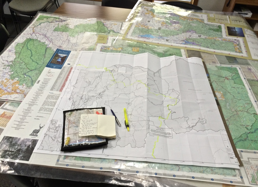
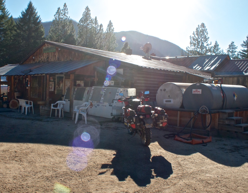
| Mission Accomplished. I had been eyeballing a cross-country route shown on my AAA overview map from Riggins to Stanley, ID. Route-planning the night before, I wrote it up as an option "if info available," and just so my luck, I was seated for breakfast amidst friendly, chatty locals. |  |
A big shout-out, and thank you, to retired Sheriff Ray, who from memory gave me landmark-based directions from Riggins to Profile Summit via Burgdorf, Warren, and Elk Summit -- right to the edge of his former turf. I stopped also at the forestry info centre, where I didn't get much information, but did get a 'vehicle use' map which confirmed Ray's directions. However, the final third of the route remained a mystery, and fell in a gap between county / National Forest borderlines, not shown on any available maps. I summoned my last drop of courage, and decided to go for it, figuring I'd likely find similarly available local knowledge at one of the intermediate town sites. If not, I had a backup bailout to the highway at McCall.
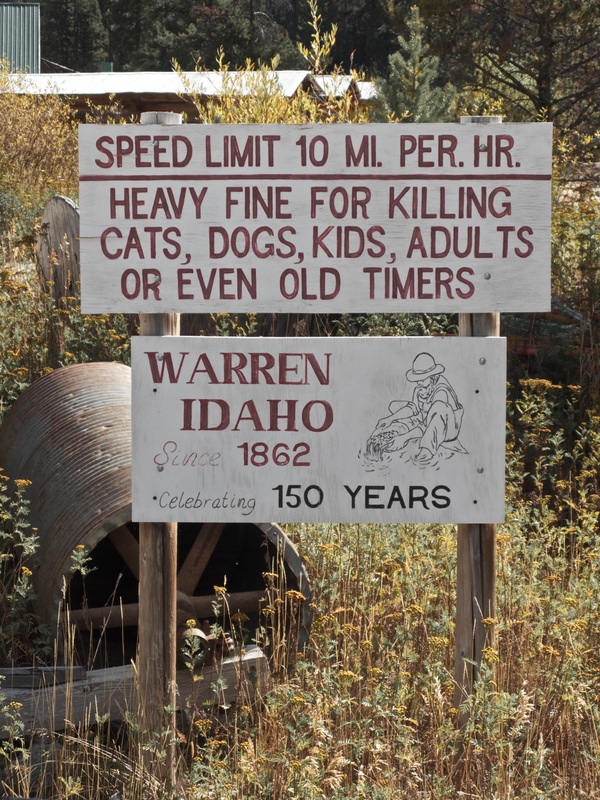
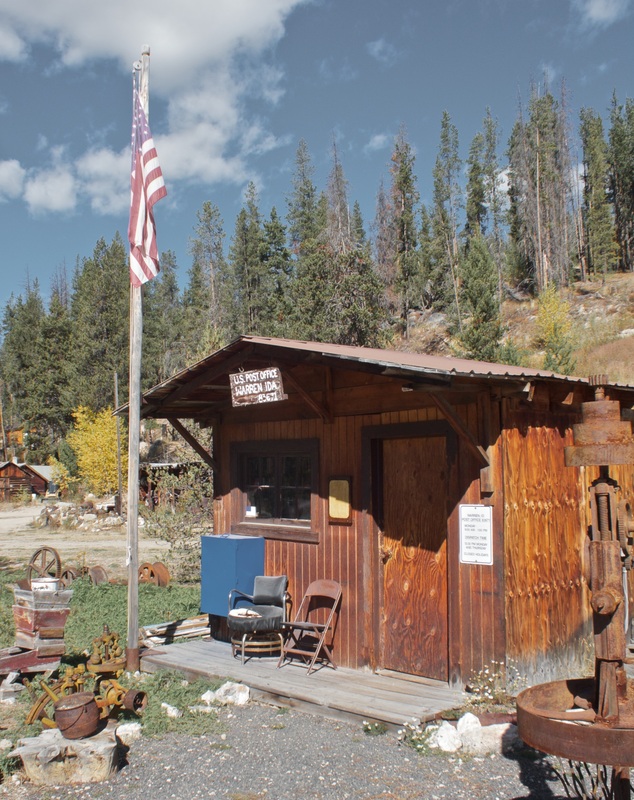
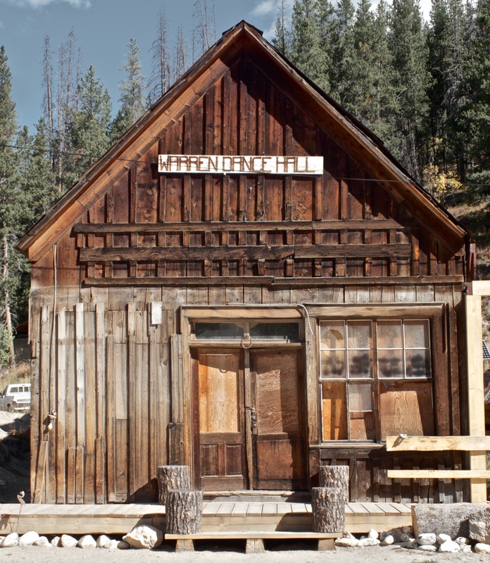
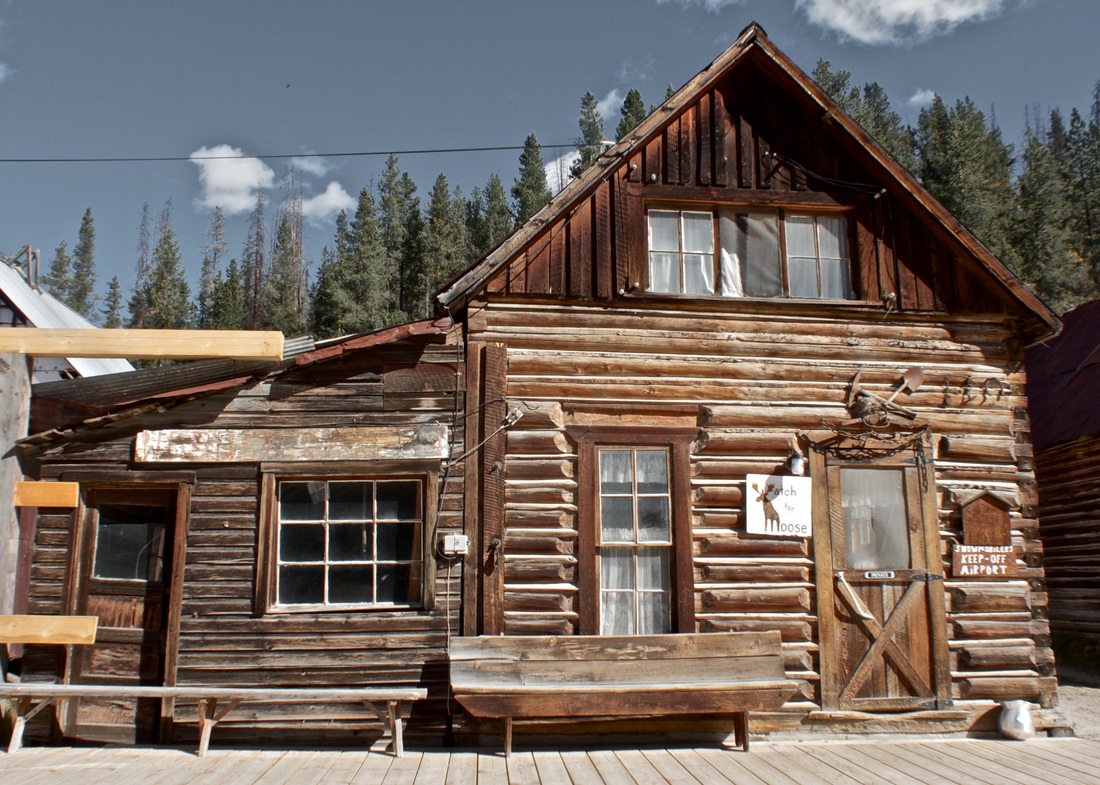
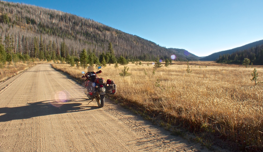
Climbing up to Burgdorf was switchback city, getting right up into the alpine. I toggled to goggles briefly, encountering a fair bit of traffic on the initial gravel, but past French Creek it subsided and it was clear breathing. Burgdorf has a rustic but active cabins-and-hot-springs operation, and Warren is a near-ghosted old mining settlement. The roads thus far were better than expected, and very clearly marked (as Ray promised), which inspired confidence pressing onward.
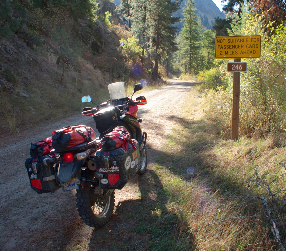
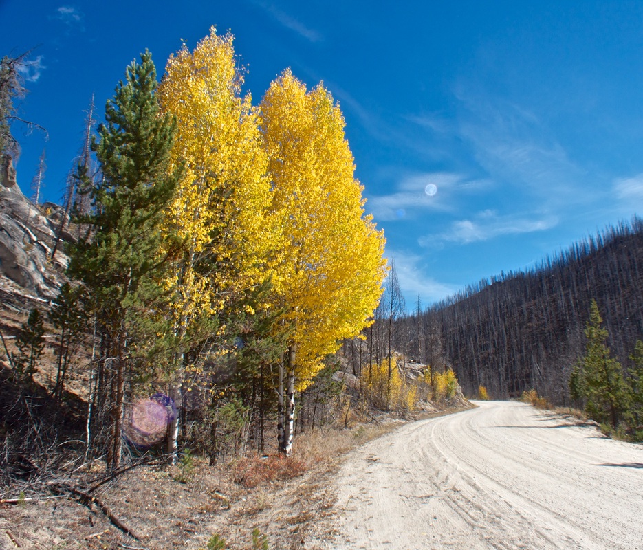
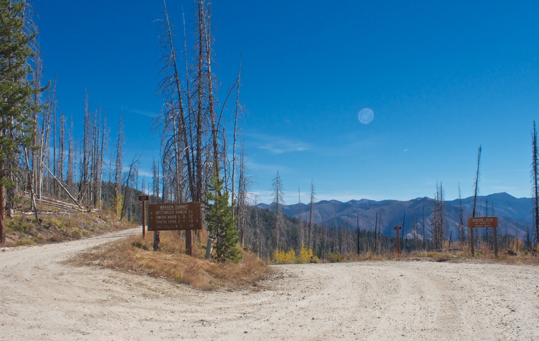
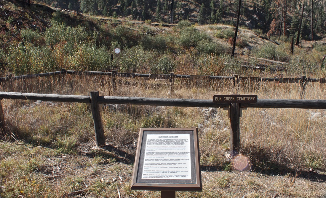
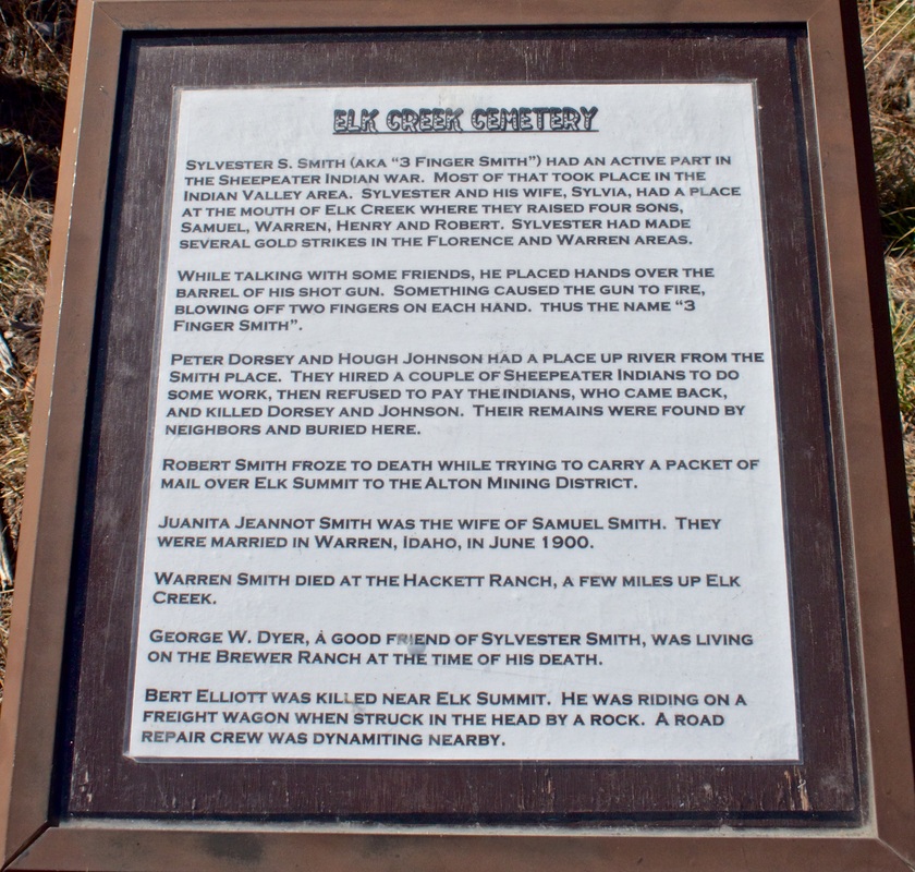
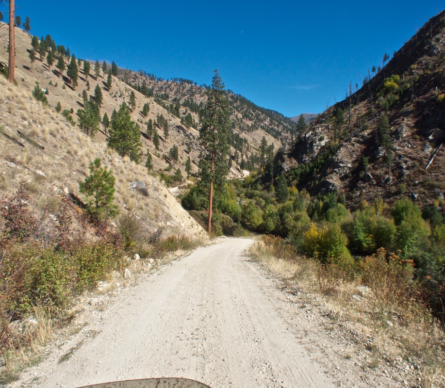
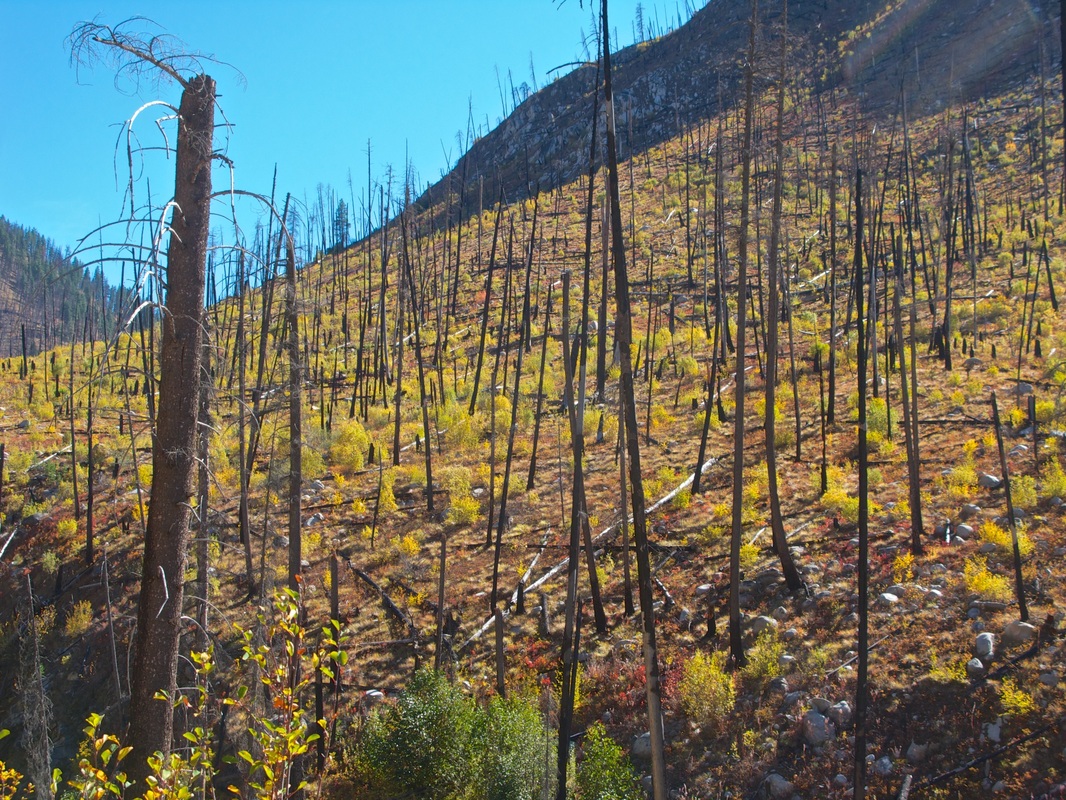
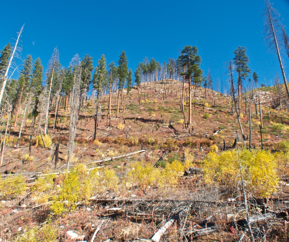
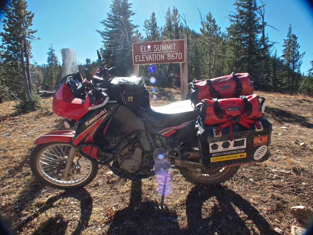
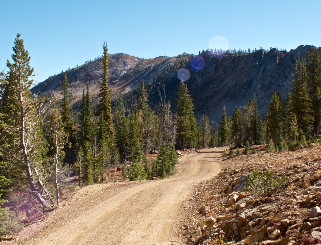
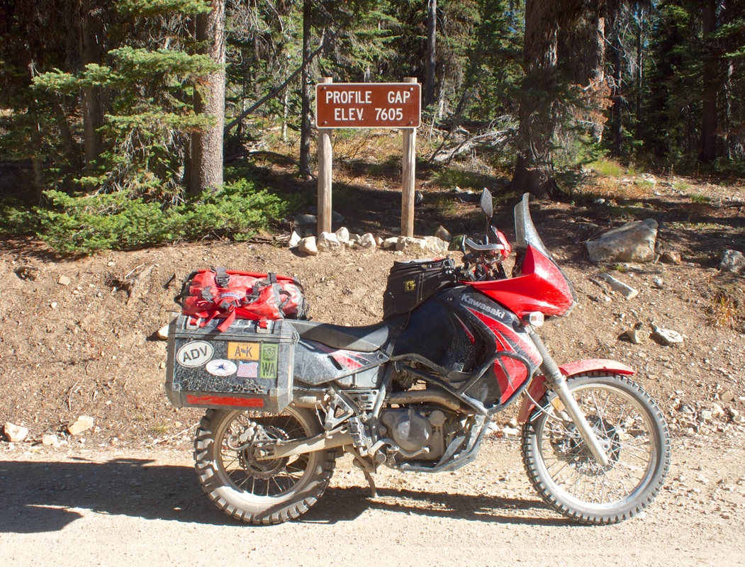
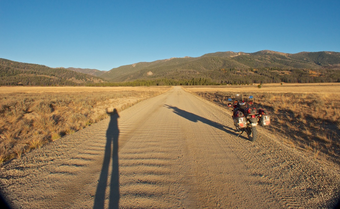
Continuing onward, the pace drastically reduced, riding very exposed switchbacks climbing and descending into South Fork. During the descent, I became alarmed to find that, although Stanley was less than 60 miles as the crow flies, the GPS routing was displaying at 150 miles. I did not have gas for 150 miles. I had gas for about another 120 miles. So, during that harrowing descent, I contemplated options (as if staying on the mountainside wasn't task enough), and concluded that my fallback would be to bail out after Yellow Pine to 22 West to Cascade. Yes, this would throw my southward progress off the mountainside, but plans be damned. Can't go anywhere with an empty tank. The feeling became more and more remote as I progressed past South Fork to the successive Elk Creek and Profile summit crossings, very switchbacky, narrow and rocky trail at times, 2nd gear putting. I was also growing concerned of sunset, as it was after 2:30pm, I was at the time averaging only about 40 km/h, with still 200 km to go.
In my head, I began planning just how, in the unlikely event, just how I would sleep out overnight, if it was too risky to ride on in the darkness.
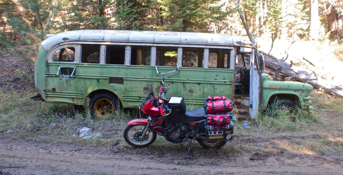
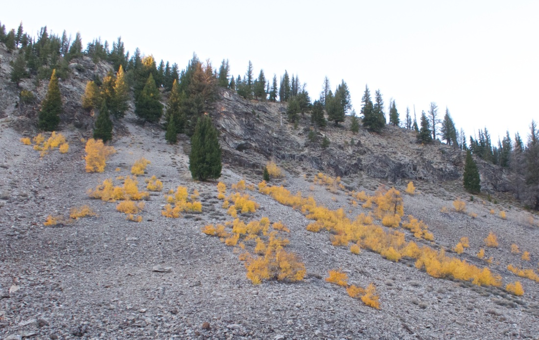
I encountered the odd traffic -- hunters, firewood-gatherers -- and more permanent residences than I expected.
Still, I felt alone.
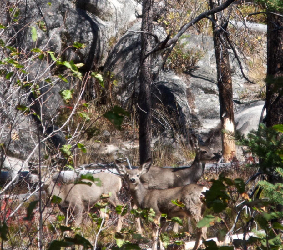
I saw some deer, then a bear. I started saying hello to the squirrels, and a butterfly when I was stopped.
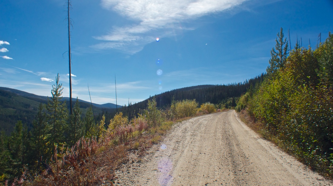
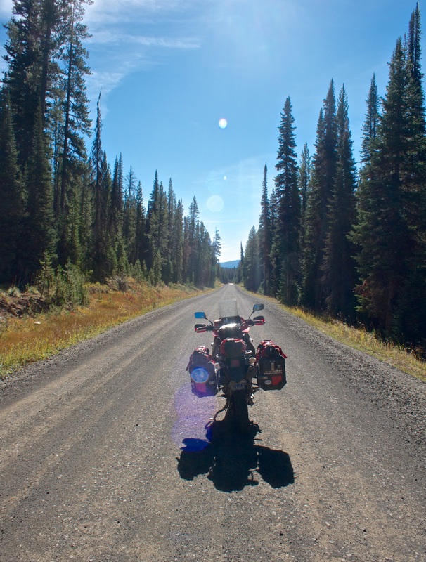
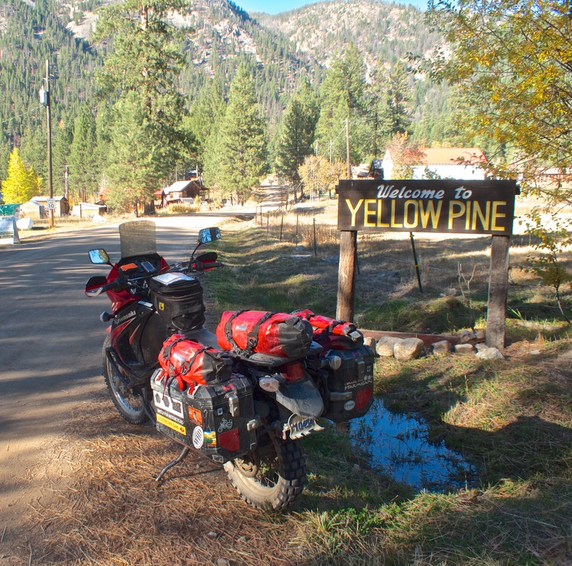
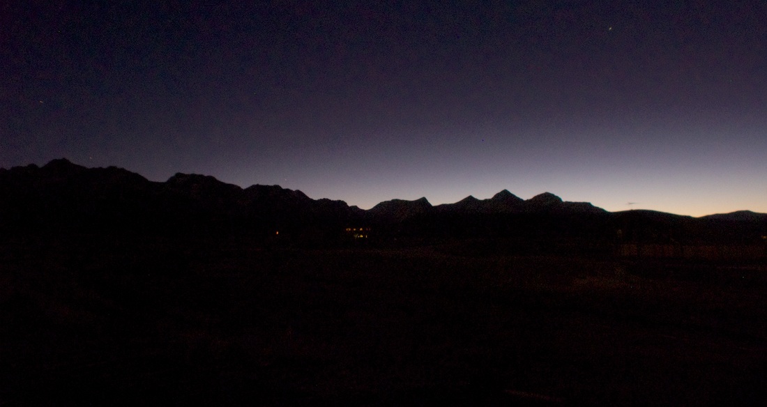
My expectation of Yellow Pine was another abandoned junket town with nothing to offer aside from photo ops, but then... voilá. A full-service, friendly little backwoods town with coffee, trail mix, and -- yes! -- gas. I paid cash for 2.8 gallons to fill, got intel on the route to Stanley from the proprietor (4 hours by truck, depending how washboardy, faster by bike) and kept moving with 2.5 hours to sunset. The road out was markedly different from the South Forks area, and I made excellent time, getting to pavement with the sun still shining. I followed a pick-up on the short sprint into Stanley for the night, where a good meal and a well-earned beer awaited. My call to cancel my room reservation way down in Twin Falls was not welcomed, but maybe tomorrow the manager will be more sympathetic, and if not, well, I don't mind paying for two rooms in exchange for my well-being, and I'll just make a note to not try to plan so much.
Climbing up to Burgdorf was switchback city, getting right up into the alpine. I toggled to goggles briefly, encountering a fair bit of traffic on the initial gravel, but past French Creek it subsided and it was clear breathing. Burgdorf has a rustic but active cabins-and-hot-springs operation, and Warren is a near-ghosted old mining settlement. The roads thus far were better than expected, and very clearly marked (as Ray promised), which inspired confidence pressing onward.
Continuing onward, the pace drastically reduced, riding very exposed switchbacks climbing and descending into South Fork. During the descent, I became alarmed to find that, although Stanley was less than 60 miles as the crow flies, the GPS routing was displaying at 150 miles. I did not have gas for 150 miles. I had gas for about another 120 miles. So, during that harrowing descent, I contemplated options (as if staying on the mountainside wasn't task enough), and concluded that my fallback would be to bail out after Yellow Pine to 22 West to Cascade. Yes, this would throw my southward progress off the mountainside, but plans be damned. Can't go anywhere with an empty tank. The feeling became more and more remote as I progressed past South Fork to the successive Elk Creek and Profile summit crossings, very switchbacky, narrow and rocky trail at times, 2nd gear putting. I was also growing concerned of sunset, as it was after 2:30pm, I was at the time averaging only about 40 km/h, with still 200 km to go.
In my head, I began planning just how, in the unlikely event, just how I would sleep out overnight, if it was too risky to ride on in the darkness.
I encountered the odd traffic -- hunters, firewood-gatherers -- and more permanent residences than I expected.
Still, I felt alone.
I saw some deer, then a bear. I started saying hello to the squirrels, and a butterfly when I was stopped.
My expectation of Yellow Pine was another abandoned junket town with nothing to offer aside from photo ops, but then... voilá. A full-service, friendly little backwoods town with coffee, trail mix, and -- yes! -- gas. I paid cash for 2.8 gallons to fill, got intel on the route to Stanley from the proprietor (4 hours by truck, depending how washboardy, faster by bike) and kept moving with 2.5 hours to sunset. The road out was markedly different from the South Forks area, and I made excellent time, getting to pavement with the sun still shining. I followed a pick-up on the short sprint into Stanley for the night, where a good meal and a well-earned beer awaited. My call to cancel my room reservation way down in Twin Falls was not welcomed, but maybe tomorrow the manager will be more sympathetic, and if not, well, I don't mind paying for two rooms in exchange for my well-being, and I'll just make a note to not try to plan so much.
| Day total: 355 km, 9h05m Trip total: 3846 km | Start: Riggins, ID. End: Stanley, ID. Soundtrack: Buck 65's "Talkin' Honkey Blues," AWOLNATION |